
File:Position of Waikato Region.png
No higher resolution available.
Position_of_Waikato_Region.png (405 × 590 pixels, file size: 7 KB, MIME type: image/png)
| This is a file from the Wikimedia Commons. Information from its description page there is shown below. Commons is a freely licensed media file repository. You can help. |

|
This locator map image could be re-created using vector graphics as an SVG file. This has several advantages; see Commons:Media for cleanup for more information. If an SVG form of this image is available, please upload it and afterwards replace this template with
{{vector version available|new image name}}.
It is recommended to name the SVG file “Position of Waikato Region.svg”—then the template Vector version available (or Vva) does not need the new image name parameter. |
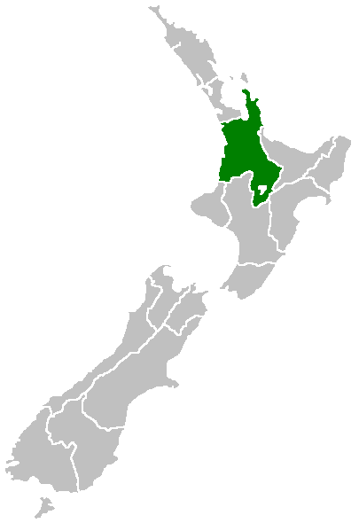
Region of New Zealand, position on the map (source:English Wiki)
| |
This work has been released into the public domain by its author, Furius, at the English Wikipedia project. This applies worldwide. In case this is not legally possible: |
File history
Click on a date/time to view the file as it appeared at that time.
| Date/Time | Thumbnail | Dimensions | User | Comment | |
|---|---|---|---|---|---|
| current | 07:41, 27 April 2005 | | 405 × 590 (7 KB) | Domie~commonswiki | Region of New Zealand, position on the map (source:English Wiki) {{PD}} Category:Maps of New Zealand |
File usage
More than 100 pages use this file. The following list shows the first 100 pages that use this file only. A full list is available.
- Arapuni Power Station
- Aratiatia Power Station
- Ashmore, New Zealand
- Atiamuri Power Station
- Awakino
- Ben Lomond (Waikato)
- Callum Brae
- Cape Colville
- Castle Craig Rock
- Castle Island, New Zealand
- Coromandel Range
- Grandview Heights, New Zealand
- Hamilton Town Belt
- Hauauru ma raki
- Hauturu, Waikato
- Horahora Power Station
- Horohoro, New Zealand
- Horseshoe Lake (New Zealand)
- Huka Prawn Park
- Huntly Power Station
- Kaimai Mamaku Conservation Park
- Karāpiro Power Station
- Kinleith
- Kārewa / Gannet Island
- Lady Knox Geyser
- Lake Arapuni
- Lake Kimihia
- Lake Maraetai
- Lake Ngaroto
- Lake Rotokauri
- Lake Rotongaro
- Lake Rotopounamu
- Lake Waahi
- Lake Waikare
- List of localities in Waikato
- Livingstone, Hamilton
- Madonna Falls
- Magellan Rise, New Zealand
- Mahurangi Island (Goat Island)
- Mamaku Ranges
- Mangapohue Natural Bridge
- Mangateparu
- Maraetai Power Station
- Maumaupaki
- Maungakawa
- Meremere Power Station
- Mokai Power Station
- Motukawao Islands
- Motutakapu
- Motutieke Island
- Māhoenui
- Nga Awa Purua Power Station
- Ngatamariki Power Station
- Non-sovereign monarchy
- Ohaaki Power Station
- Ohinewai
- Orongokoekoea Pā
- Otama Beach
- Otukou
- Owharoa Falls
- Parawera
- Parkinsons Lake
- Piarere
- Poihipi Power Station
- Puketotara
- Pākā Bay
- Rangitoto, Waikato
- Rotokawa
- Rotokawa Power Station
- Seabird Coast
- Shoe Island / Motuhoa
- Slipper Island
- Somerset Heights
- St Petersburg, New Zealand
- Stonebridge, New Zealand
- Tauhara Power Station
- Te Anga
- Te Huka Power Station
- Te Mata, Thames-Coromandel District
- Te Mihi Power Station
- Te Rapa cogeneration
- Te Uku Wind Farm
- Thornton, Hamilton
- Tokaanu
- Tokoroa Aerodrome
- Tongariro Power Scheme
- Waihi Village
- Waihāhā
- Waikato County
- Waipapa Power Station
- Wairakei Power Station
- Wairere Falls
- Waitakaruru Arboretum
- Whakamaru Dam
- Whangapoua Harbour
- Wharepapa South
- Whitianga Festival of Speed
- Ōhakuri Dam
- Ōtewā
- Template:Electricity generation in Waikato
View more links to this file.
Global file usage
The following other wikis use this file:
- Usage on eu.wikipedia.org
- Usage on fa.wikipedia.org
- Usage on gd.wikipedia.org
- Usage on gl.wikipedia.org
- Usage on hi.wikipedia.org
- Usage on hr.wikipedia.org
- Usage on id.wikipedia.org
- Usage on ja.wikipedia.org
- Usage on ko.wikipedia.org
- Usage on mi.wikipedia.org
- Kirikiriroa
- Taupō-nui-a-Tia
- Template:Maramara matawhenua (Waikato)
- Kinleith
- Waotu
- Hodderville
- Wiltsdown
- Wawa
- Ngaroma
- Wharepapa South
- Arohena
- Tauranganui
- Port Waikato
- Onewhero
- Pukekawa
- Opuatia
- Wairamarama
- Limestone Downs
- Glen Murray
- Tikotiko
- Kaawa
- Naike
- Pepepe
- Waikorea
- Woodleigh
- Matira
- Waikaretu
- Dunmore
- Te Akau
- Te Akau South
- Ruakiwi
- Waingaro
- Ohautira
- Kauri Flat
- Rangipu
- Haroto Bay
- Okete
- Te Uku Landing
View more global usage of this file.