
File:Port-Au-Prince and Carrefour map.png
Size of this preview: 800 × 462 pixels. Other resolutions: 320 × 185 pixels | 640 × 370 pixels | 848 × 490 pixels.
Original file (848 × 490 pixels, file size: 197 KB, MIME type: image/png)
| This is a file from the Wikimedia Commons. Information from its description page there is shown below. Commons is a freely licensed media file repository. You can help. |
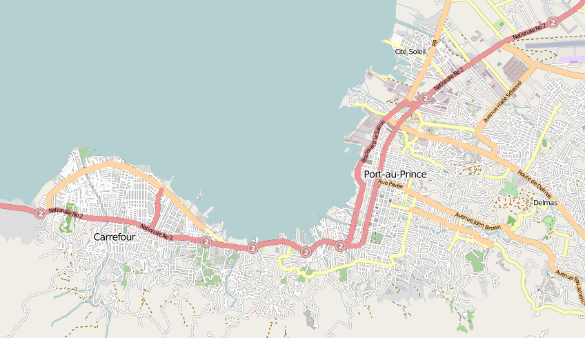
| Description | Map of Port-Au-Prince and Carrefour in Haiti |
| Date | |
| Source | openstreetmap.org |
| Author | Collaboratively created by the OpenStreetMap community using only free map sources and manual GPS surveying to build the map from scratch. In this particular case special access to DigitalGlobe and GeoEye aerial imagery was granted to the OpenStreetMap project, and was used to enhance the detail in this map. |
| Permission (Reusing this file) |
This file is licensed under the Creative Commons Attribution-Share Alike 2.0 Generic license.
|
| Other versions | The 'live' version of this map is available at http://www.openstreetmap.org/?lat=18.5456&lon=-72.3526&zoom=13 With the usual facility to zoom in for more details. You can also use the 'export' tab to get a fresh export in a variety of formats. This includes SVG, although a map of this size will generally be too complex to export (or work with) to this format. '.osm' format is the underlying geolocated data. Use the 'edit' tab on OpenStreetMap's website to edit the map. |
File history
Click on a date/time to view the file as it appeared at that time.
| Date/Time | Thumbnail | Dimensions | User | Comment | |
|---|---|---|---|---|---|
| current | 14:26, 15 January 2010 | | 848 × 490 (197 KB) | Harry Wood | {{Information |Description=Map of Port-Au-Prince and Carrefour in Haiti |Source=[http://openstreetmap.org openstreetmap.org] |Date=2009-10-28 |Author=Collaboratively created by the OpenStreetMap community using only free map sources and manual GPS surveyi |
File usage
The following pages on the English Wikipedia use this file (pages on other projects are not listed):
Global file usage
The following other wikis use this file:
- Usage on azb.wikipedia.org
- Usage on en.wikinews.org
- Usage on fa.wikipedia.org
- Usage on fr.wikinews.org
- Usage on pl.wikipedia.org
- Usage on pt.wikipedia.org
- Usage on vi.wikipedia.org