
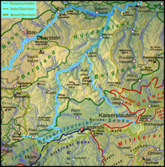
File:Pfaelzerwaldkarte Flussgebiete Glan.png

Size of this preview: 591 × 599 pixels. Other resolutions: 237 × 240 pixels | 473 × 480 pixels | 758 × 768 pixels | 1,010 × 1,024 pixels | 1,383 × 1,402 pixels.
Original file (1,383 × 1,402 pixels, file size: 3.26 MB, MIME type: image/png)
| This is a file from the Wikimedia Commons. Information from its description page there is shown below. Commons is a freely licensed media file repository. You can help. |
Summary
| Description |
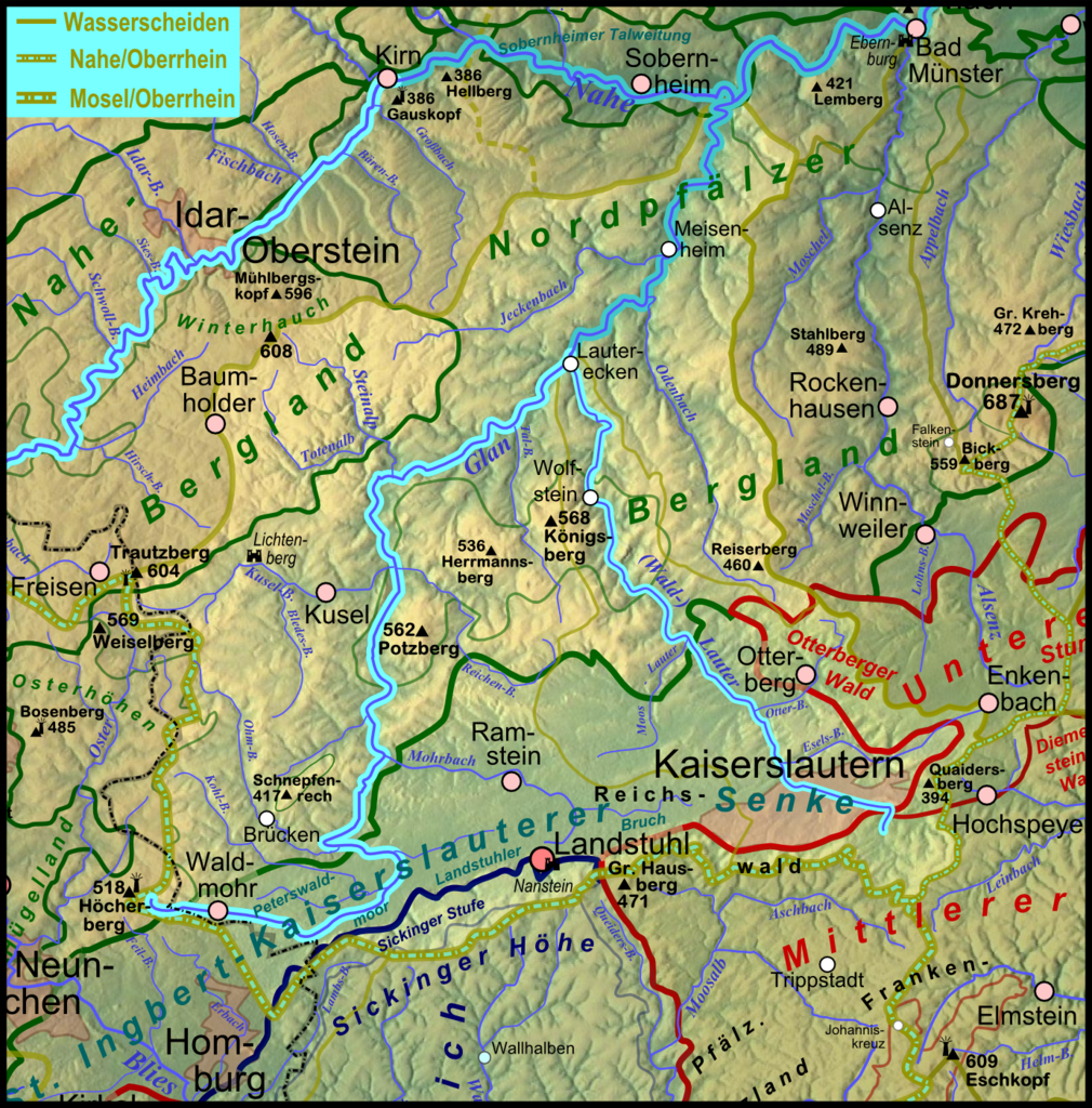
Deutsch: Flussgebietskarte des Nahe-Nebenflusses Glan auf Basis der Flussgebietskarte zum Pfälzerwald, siehe Flussgebietskarte Pfälzerwald; neben dem Glan ist auch der wichtigste Nebenfluss Lauter hervor gehoben, mit dessen Zufließen der Glan in Rheinland-Pfalz als Gewässer 1. Ordnung eingestuft wird - Farbgebung bei der Nahe selbst in analoger Weise. |
| Date | 2011-12-10, completely new at 2012-01-18 |
| Source |
Own work
|
| Author | Elop |
| Other versions |
|
Licensing

|
Permission is granted to copy, distribute and/or modify this document under the terms of the GNU Free Documentation License, Version 1.2 or any later version published by the Free Software Foundation; with no Invariant Sections, no Front-Cover Texts, and no Back-Cover Texts. A copy of the license is included in the section entitled GNU Free Documentation License. |
File history
Click on a date/time to view the file as it appeared at that time.
| Date/Time | Thumbnail | Dimensions | User | Comment | |
|---|---|---|---|---|---|
| current | 21:57, 18 January 2012 | | 1,383 × 1,402 (3.26 MB) | Elop | completely new |
| 01:41, 19 December 2011 |  | 1,205 × 983 (1.15 MB) | Elop | Update | |
| 22:32, 10 December 2011 |  | 1,173 × 987 (1.15 MB) | Elop | {{no license|month=December|day=10|year=2011}} == Summary == {{Information |Description ={{de|1=Flussgebietskarte der de:Glan (farblich hervorgehoben) auf Basis der Flussgebietskarte zum Pfälzerwald, siehe [[:File:Pfaelzerwaldkarte_Flussgebiete. |
File usage
The following pages on the English Wikipedia use this file (pages on other projects are not listed):
Global file usage
The following other wikis use this file:
- Usage on de.wikipedia.org
- Usage on eo.wikipedia.org
- Usage on fr.wikipedia.org
- Usage on www.wikidata.org