
File:Petermann Camp.jpg

Size of this preview: 800 × 525 pixels. Other resolutions: 320 × 210 pixels | 640 × 420 pixels | 1,024 × 672 pixels | 1,280 × 840 pixels | 2,560 × 1,680 pixels | 5,669 × 3,721 pixels.
Original file (5,669 × 3,721 pixels, file size: 3.11 MB, MIME type: image/jpeg)
| This is a file from the Wikimedia Commons. Information from its description page there is shown below. Commons is a freely licensed media file repository. You can help. |
Summary
| Description |
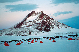
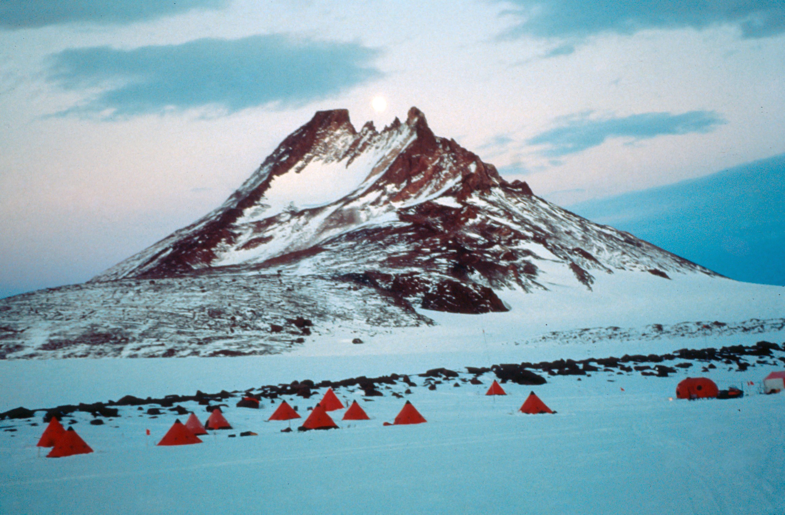
Deutsch: Das Feldcamp der GeoMaud-Expediton am Nordrand der Petermannketten English: The fieldcamp of the GeoMaud expedition in the northern Petermann Chains, Antarctica |
| Date | |
| Source | Own work |
| Author | Wilfried Bauer |
| Other versions | File:Schneide Camp.jpg |
| Camera location | | View this and other nearby images on: OpenStreetMap |
|---|
Licensing
I, the copyright holder of this work, hereby publish it under the following license:
This file is licensed under the Creative Commons Attribution-Share Alike 3.0 Unported license.
- You are free:
- to share – to copy, distribute and transmit the work
- to remix – to adapt the work
- Under the following conditions:
- attribution – You must give appropriate credit, provide a link to the license, and indicate if changes were made. You may do so in any reasonable manner, but not in any way that suggests the licensor endorses you or your use.
- share alike – If you remix, transform, or build upon the material, you must distribute your contributions under the same or compatible license as the original.
File history
Click on a date/time to view the file as it appeared at that time.
| Date/Time | Thumbnail | Dimensions | User | Comment | |
|---|---|---|---|---|---|
| current | 14:36, 16 October 2013 | | 5,669 × 3,721 (3.11 MB) | Diorit | User created page with UploadWizard |
File usage
The following pages on the English Wikipedia use this file (pages on other projects are not listed):
Global file usage
The following other wikis use this file:
- Usage on de.wikipedia.org
- Usage on hi.wikipedia.org
- Usage on nn.wikipedia.org
- Usage on no.wikipedia.org