
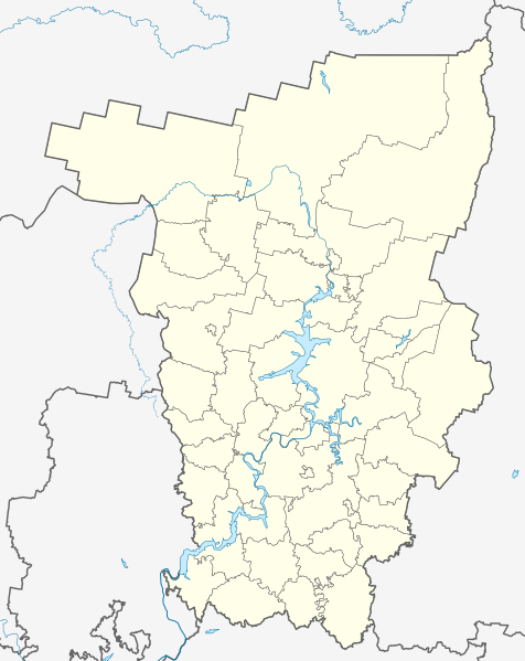
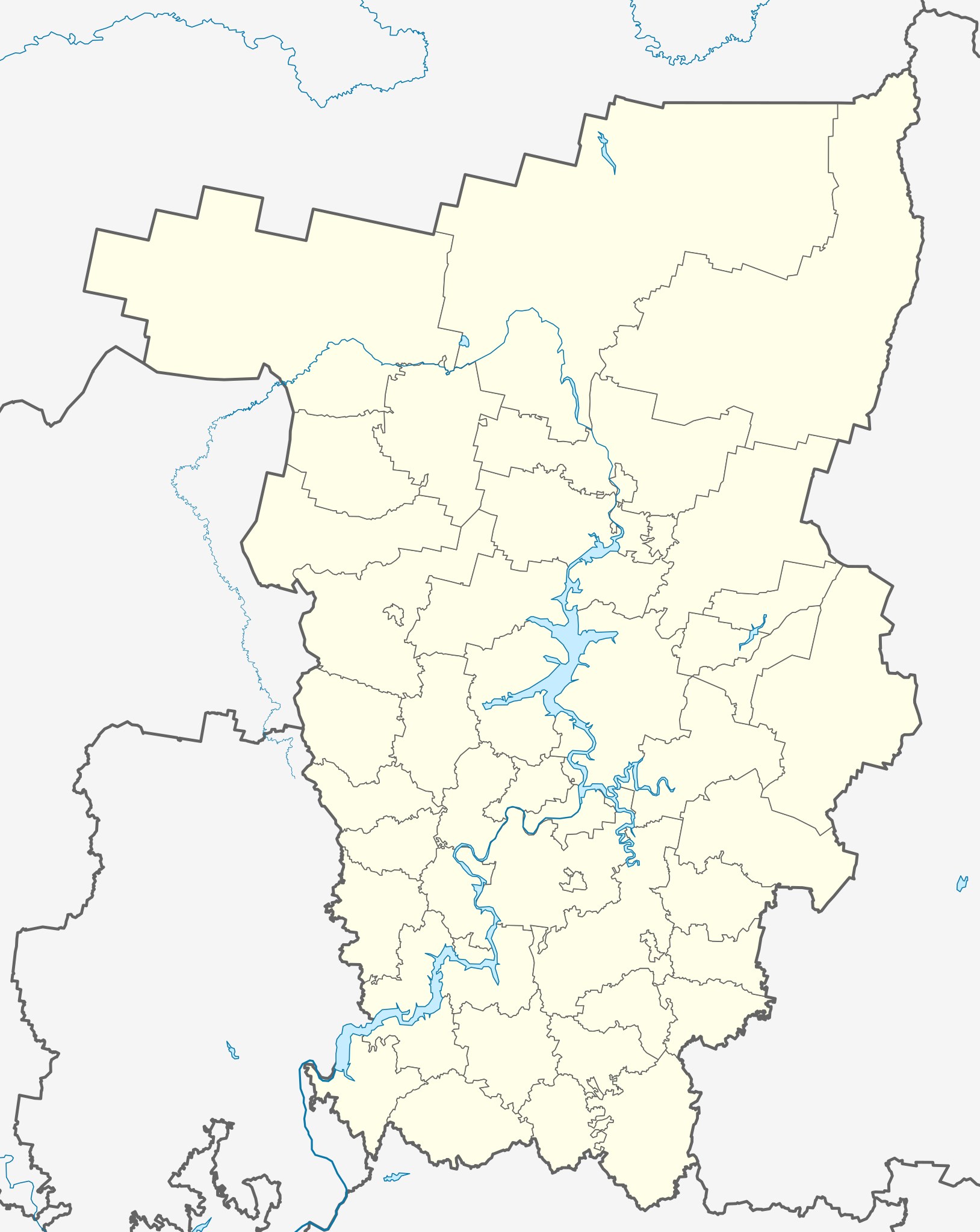
File:Outline Map of Perm Krai.svg

Size of this PNG preview of this SVG file: 476 × 599 pixels. Other resolutions: 191 × 240 pixels | 381 × 480 pixels | 610 × 768 pixels | 814 × 1,024 pixels | 1,628 × 2,048 pixels | 1,000 × 1,258 pixels.
Original file (SVG file, nominally 1,000 × 1,258 pixels, file size: 203 KB)
| This is a file from the Wikimedia Commons. Information from its description page there is shown below. Commons is a freely licensed media file repository. You can help. |
Summary
| Description |
Русский: Позиционная карта Пермского края
|top = 62 |bottom = 56 |left = 51 |right = 60 |
| Date | |
| Source |
Own work This W3C-unspecified vector image was created with Inkscape . |
| Author | Виктор В |
| Other versions |
[] |


Licensing
| I, the copyright holder of this work, release this work into the public domain. This applies worldwide. In some countries this may not be legally possible; if so: I grant anyone the right to use this work for any purpose, without any conditions, unless such conditions are required by law. |
File history
Click on a date/time to view the file as it appeared at that time.
| Date/Time | Thumbnail | Dimensions | User | Comment | |
|---|---|---|---|---|---|
| current | 19:33, 22 August 2010 | | 1,000 × 1,258 (203 KB) | Виктор В | упустил Очерский район |
| 17:56, 22 August 2010 |  | 1,000 × 1,258 (201 KB) | Виктор В | Новая версия на основе СТП края | |
| 18:48, 31 October 2009 |  | 744 × 1,052 (68 KB) | Виктор В | color | |
| 17:10, 31 October 2009 |  | 744 × 1,052 (68 KB) | Виктор В | {{Information |Description={{en|1=Outline Map of Perm Krai}} |Source={{own}} {{Inkscape}} |Author=Виктор В |Date=2009-10-31 |Permission= |other_versions= }} Category:Perm Krai |
File usage
More than 100 pages use this file. The following list shows the first 100 pages that use this file only. A full list is available.
- 2014 Winter Olympics torch relay
- 5 km, Perm Krai
- Abog, Perm Krai
- Abramovka, Perm Krai
- Abramovo, Perm Krai
- Akbash, Perm Krai
- Alexandrovsk, Perm Krai
- Amirovka
- Antonkovo
- Barda, Perm Krai
- Bashmaki
- Baza, Perm Krai
- Berezniki
- Beryozovka, Beryozovsky District, Perm Krai
- Bichurino
- Biser, Russia
- Bolshaya Vilva
- Bulatovo, Alexandrovsky District, Perm Krai
- Chastye, Chastinsky District, Perm Krai
- Chaykovsky, Perm Krai
- Cherdyn, Perm Krai
- Chernushka, Chernushinsky District, Perm Krai
- Chikman
- Chusovoy
- Chyormoz
- Dobryanka, Perm Krai
- Galka, Perm Krai
- Garnova
- Gora, Alexandrovsky District, Perm Krai
- Gornozavodsk, Perm Krai
- Gremyachinsk
- Gubakha
- Ilyinsky, Perm Krai
- Ivakinsky Karyer
- Kalino, Chusovoy, Perm Krai
- Kamen, Alexandrovsky District, Perm Krai
- Karagay, Perm Krai
- Karyer Izvestnyak
- Kizel
- Klestovo
- Krasnokamsk
- Krasnovishersk
- Kudymkar
- Kungur
- Kusye-Alexandrovsky
- Lyamino, Perm Krai
- Lysva
- Lytvensky
- Lyuzen
- Makhneva, Perm Krai
- Malaya Vilva
- Medvedka
- Nizhnyaya, Perm Krai
- Novoilyinsky, Perm Krai
- Novovilvensky
- Nyrob
- Nytva
- Ochyor
- Okhansk
- Oktyabrsky, Oktyabrsky District, Perm Krai
- Orda, Perm Krai
- Osa, Perm Krai
- Overyata
- Pashiya
- Pavlovsky, Perm Krai
- Perm, Russia
- Perm International Airport
- Podsludnoye
- Polazna
- Promysla
- Samarova
- Sarany
- Sarashi, Perm Krai
- Sars (urban-type settlement)
- Shirokovsky
- Shumkovo, Alexandrovsky District, Perm Krai
- Siva, Perm Krai
- Skalny, Perm Krai
- Skopkortnaya
- Solikamsk
- Stary Biser
- Subbotniki
- Sukhaya, Alexandrovsky District, Perm Krai
- Suksun
- Taly
- Tyoplaya Gora
- Ugleuralsky
- Uinskoye
- Uralsky, Perm Krai
- Usolye, Usolsky District, Perm Krai
- Ust-Igum
- Ust-Kishert, Perm Krai
- Usva
- Vereshchagino, Vereshchaginsky District, Perm Krai
- Volga Federal District
- Vsevolodo-Vilva
- Yayva
- Yelovo, Perm Krai
- Yelpachikha
- Zvyozdny, Perm Krai
View more links to this file.
Global file usage
The following other wikis use this file:
- Usage on af.wikipedia.org
- Usage on ar.wikipedia.org
- Usage on azb.wikipedia.org
- ارنا، پرم دیاری
- اوبوینزک
- اوپاری، روسیه
- زاقوووروخا
- اوتوپکووو
- اوتوو، روسیه
- زامارایوو
- اوچات-زون
- زامولیانکا
- اوچخوز، روسیه
- زاوادنیی
- زاوزینووو
- زاووژیک، روسیه
- اودان، روسیه
- اودمورت-شاجیرت
- زایتسی، روسیه
- اودینا، پرم دیاری
- زایکووو، روسیه
- بلویوو، روسیه
- زرنینو، روسیه
- اوراسکووو
- کیژ، روسیه
- اورالسکوی، پرم دیاری
- اورالووو
- اورای، پرم دیاری
- کیشکا، پرم دیاری
- اورخووایا قورا
- اورژا، روسیه
- بوبکی، پرم دیاری
- بوبووایا
- کین، روسیه
- زوبکی، پرم دیاری
- زوروو، پرم دیاری
- زوزری، پرم دیاری
- زولوتانکا
- کئیمن، پرم دیاری
- بور-لیونوا
- کئیمنکا، پرم دیاری
- زونووو، روسیه
- زوونی، روسیه
- کئیمنی کلیوچی
- زویوو، روسیه
- بوردینو، روسیه
- زیپونووو
- اورول، روسیه
- اورولکا، روسیه
- بورشچیووتسی
View more global usage of this file.