
File:Outline Map of Magadan Oblast.svg

Size of this PNG preview of this SVG file: 667 × 599 pixels. Other resolutions: 267 × 240 pixels | 534 × 480 pixels | 855 × 768 pixels | 1,140 × 1,024 pixels | 2,279 × 2,048 pixels | 1,144 × 1,028 pixels.
Original file (SVG file, nominally 1,144 × 1,028 pixels, file size: 693 KB)
| This is a file from the Wikimedia Commons. Information from its description page there is shown below. Commons is a freely licensed media file repository. You can help. |
Summary
| Description |
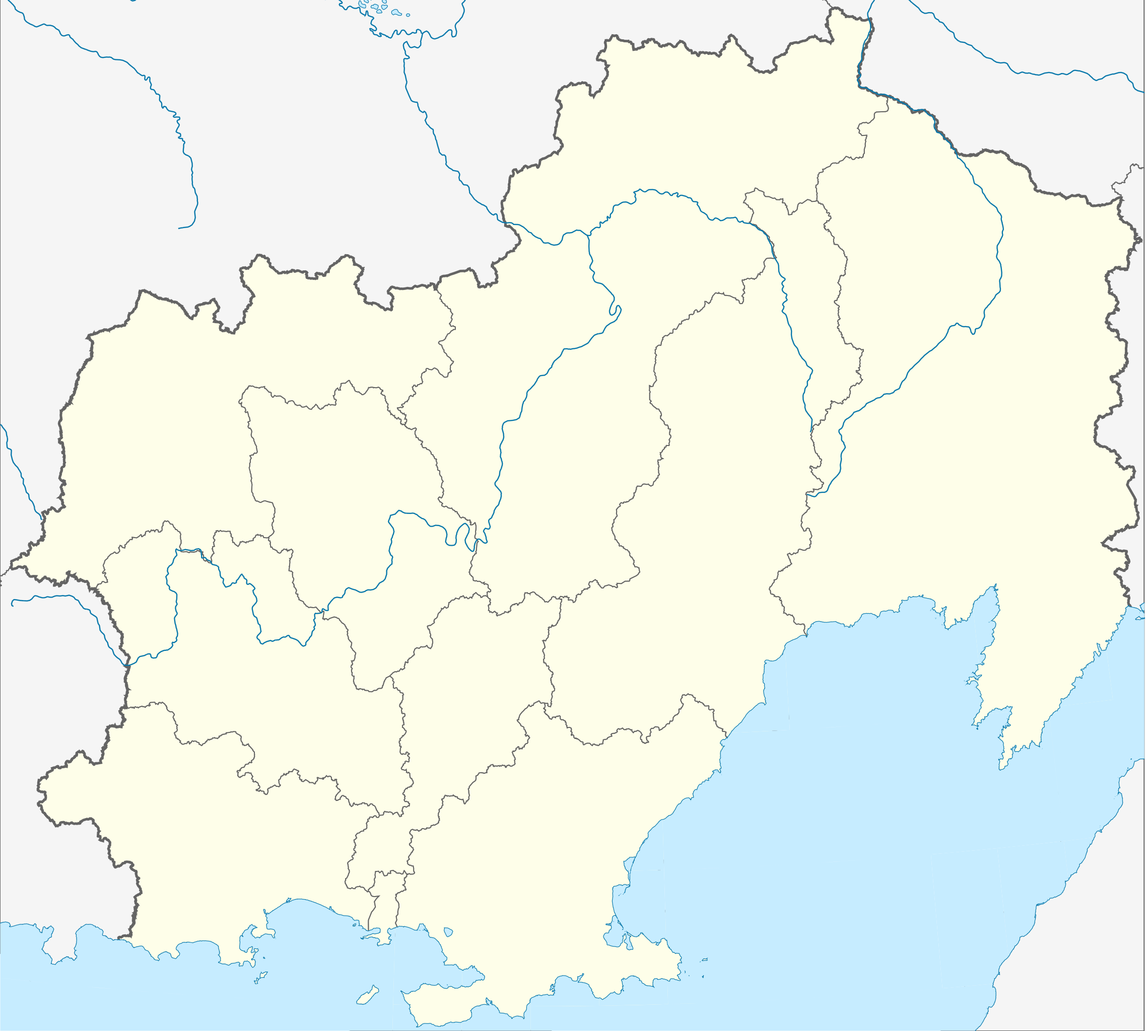
Русский: Административная карта Магаданской области.
|
| Date | |
| Source |
|
| Author | Nzeemin |
| Other versions |
|


Licensing
This file is licensed under the Creative Commons Attribution-Share Alike 2.0 Generic license.
- You are free:
- to share – to copy, distribute and transmit the work
- to remix – to adapt the work
- Under the following conditions:
- attribution – You must give appropriate credit, provide a link to the license, and indicate if changes were made. You may do so in any reasonable manner, but not in any way that suggests the licensor endorses you or your use.
- share alike – If you remix, transform, or build upon the material, you must distribute your contributions under the same or compatible license as the original.
File history
Click on a date/time to view the file as it appeared at that time.
| Date/Time | Thumbnail | Dimensions | User | Comment | |
|---|---|---|---|---|---|
| current | 10:52, 17 March 2012 | | 1,144 × 1,028 (693 KB) | Nzeemin |
File usage
The following pages on the English Wikipedia use this file (pages on other projects are not listed):
- 2014 Winter Olympics torch relay
- Arman, Russia
- Atka, Russia
- Belichan
- Bolshevik, Magadan Oblast
- Burkhala
- Butugychag
- Cape Povorotnyy
- Chaybukha Airport
- Chetyre Paltsa
- Debin
- Dukat, Russia
- Evensk
- Far Eastern Federal District
- Galimy
- Glinyanyy Island
- Goltsovoye mine
- Kadykchan
- Kamen-Mukdykyn
- Karamken
- Kekurny Island
- Khalpili Islands
- Kholodny, Magadan Oblast
- Kolymskoye, Magadan Oblast
- Magadan
- Magadan-13 Airport
- Morskaya Matuga
- Myaundzha
- Nagayevo, Magadan
- Ola, Russia
- Omsukchan
- Omsukchan Airport
- Orotukan
- Palatka, Magadan Oblast
- Rechnaya Matuga Island
- Severo-Evensk Airport
- Seymchan (urban-type settlement)
- Seymchan Airport
- Shelikan
- Shiroky, Magadan Oblast
- Sinegorye
- Sokol, Magadan Oblast
- Sokol Airport
- Spornoye
- Stekolny, Magadan Oblast
- Susuman
- Susuman Airport
- Takhtoyamsk
- Talaya
- Taskan (village)
- Taui Bay
- Telan Island
- Umara Island
- Uptar
- Ust-Omchug
- Ust-Srednekan
- Verkhny At-Uryakh
- Yagodnoye, Magadan Oblast
- Yam Islands
- User:Fenix down/Karamken
- User:Tweebuffels/sandbox
- Module:Location map/data/Russia Magadan Oblast
- Module:Location map/data/Russia Magadan Oblast/doc
Global file usage
The following other wikis use this file:
- Usage on ar.wikipedia.org
- Usage on az.wikipedia.org
- Usage on ba.wikipedia.org
- Usage on be.wikipedia.org
- Магадан
- Сусуман
- Ягаднае (Магаданская вобласць)
- Шаблон:На карце/Расія Магаданская вобласць
- Эвенск
- Амсукчан
- Палатка (Магаданская вобласць)
- Атка
- Талая
- Ола
- Усць-Омчуг
- Сінягор’е (Магаданская вобласць)
- Мяўнджа
- Кадыкчан
- Сокал (Магаданская вобласць)
- Сеймчан
- Сцякольны
- Аратукан (пасёлак гарадскога тыпу)
- Уптар
- Халодны (Магаданская вобласць)
- Дэбін
- Дукат (Магаданская вобласць)
- Бальшавік (Магаданская вобласць)
- Белічан
- Бурхала
- Верхні Ат-Урах
- Галімы
- Usage on bg.wikipedia.org
- Usage on ceb.wikipedia.org
- Usage on ce.wikipedia.org
View more global usage of this file.