
File:Outline Map of Leningrad Oblast.svg

Size of this PNG preview of this SVG file: 800 × 574 pixels. Other resolutions: 320 × 229 pixels | 640 × 459 pixels | 1,024 × 734 pixels | 1,280 × 918 pixels | 2,560 × 1,836 pixels | 1,000 × 717 pixels.
Original file (SVG file, nominally 1,000 × 717 pixels, file size: 76 KB)
| This is a file from the Wikimedia Commons. Information from its description page there is shown below. Commons is a freely licensed media file repository. You can help. |
Summary
| Description |
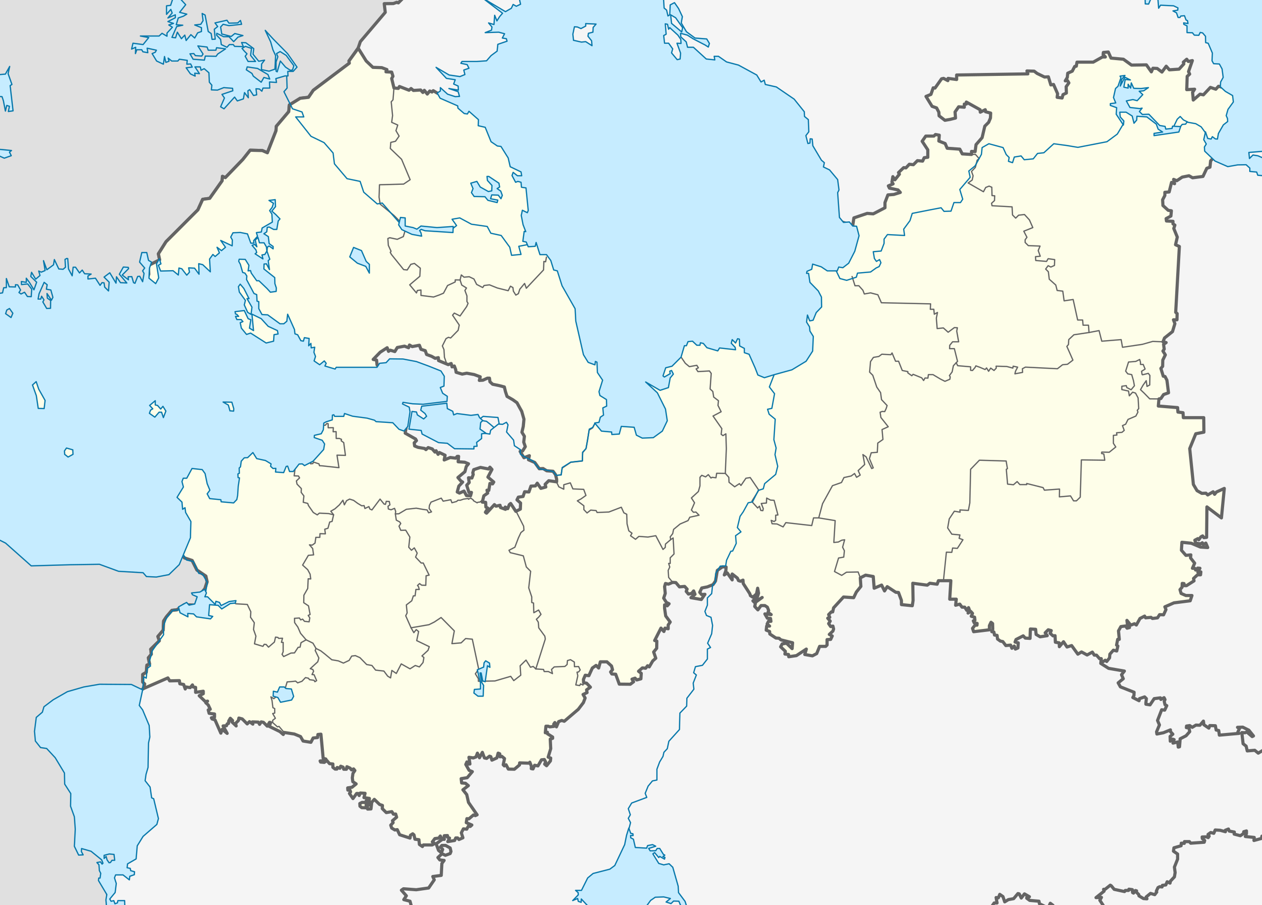
Русский: Позиционная карта Ленинградской области
|top = 61.5 |bottom = 58.2 |left = 26.7 |right = 35.9 |
| Date | |
| Source |
Own work
|
| Author | Виктор В |
| Other versions |
[] |
| SVG development |


Licensing
| I, the copyright holder of this work, release this work into the public domain. This applies worldwide. In some countries this may not be legally possible; if so: I grant anyone the right to use this work for any purpose, without any conditions, unless such conditions are required by law. |
File history
Click on a date/time to view the file as it appeared at that time.
| Date/Time | Thumbnail | Dimensions | User | Comment | |
|---|---|---|---|---|---|
| current | 05:45, 5 April 2018 | | 1,000 × 717 (76 KB) | Hellerick | Fixed Lomonosov/Gatchina border |
| 18:06, 18 August 2010 |  | 1,000 × 717 (75 KB) | Виктор В | == {{int:filedesc}} == {{Information |Description={{ru|1=Позиционная карта Ленинградской области *Проекция — равноугольная. *Стандартная параллель — 60°00′00″С *Пар� |
File usage
More than 100 pages use this file. The following list shows the first 100 pages that use this file only. A full list is available.
- 2014 Winter Olympics torch relay
- Abramovo, Leningrad Oblast
- Agalatovo
- Avati, Leningrad Oblast
- Avdetovo
- Boksitogorsk
- Bolshaya Izhora
- Bolshekolpanskoe Rural Settlement
- Budogoshch
- Chudovo (air base)
- Druzhnaya Gorka, Leningrad Oblast
- Dubrovka, Vsevolozhsky District, Leningrad Oblast
- Fornosovo
- Gatchina
- Gromovo (air base)
- Imeni Morozova
- Imeni Sverdlova, Russia
- Ivangorod
- Ivanovo, Priozersky District, Leningrad Oblast
- Kamennogorsk
- Kikerino
- Kikerinsky Rural Settlement
- Kingisepp
- Kirishi
- Kirjasalo
- Kirovsk, Leningrad Oblast
- Kokkorevo
- Koloskovo, Leningrad Oblast
- Kommunar, Gatchinsky District, Leningrad Oblast
- Krakolye
- Krasny Bor, Tosnensky District, Leningrad Oblast
- Krivko
- Kudrovo
- Kuzmolovsky
- Kuznechnoye
- Lampovo
- Lebyazhye, Lomonosovsky District, Leningrad Oblast
- Lesogorsky
- Lodeynoye Pole
- Lodeynoye Pole (air base)
- Luga, Leningrad Oblast
- Lyuban (town), Leningrad Oblast
- Mga
- Mginskoye Urban Settlement
- Murino, Leningrad Oblast
- Naziya
- Nikolskoye, Tosnensky District, Leningrad Oblast
- Nikolsky, Leningrad Oblast
- Northwestern Federal District
- Novaya Ladoga
- Novoye Devyatkino
- Orekhovo (settlement), Leningrad Oblast
- Orekhovo (village), Leningrad Oblast
- Otradnoye, Kirovsky District, Leningrad Oblast
- Pavlovo, Kirovsky District, Leningrad Oblast
- Pikalyovo, Leningrad Oblast
- Platforma 69-y km
- Podporozhye, Leningrad Oblast
- Priladozhsky
- Primorsk, Leningrad Oblast
- Priozersk
- Rakhya
- Roshchino, Leningrad Oblast
- Ryabovo, Tosnensky District, Leningrad Oblast
- Selo, Russia
- Seltso (inhabited locality)
- Sertolovo
- Shlisselburg
- Shugozero
- Sinyavino, Leningrad Oblast
- Siversky
- Siversky (air base)
- Slantsy, Leningrad Oblast
- Sosnovy Bor, Leningrad Oblast
- Sovetsky, Leningrad Oblast
- Staraya Ladoga
- Sukho (island)
- Svetogorsk
- Svirstroy
- Syasstroy
- Taytsy
- Tikhvin
- Toksovo
- Tolmachyovo
- Tosno
- Ulyanovka, Leningrad Oblast
- Ust-Luga
- Vaganovo, Leningrad Oblast
- Valdost
- Vazhiny
- Volkhov
- Volosovo, Volosovsky District, Leningrad Oblast
- Voznesenye
- Vsevolozhsk
- Vyborg
- Vyborg Castle
- Vyritsa
- Vysotsk
- Yanino-1
- Yefimovsky (urban-type settlement)
View more links to this file.
Global file usage
The following other wikis use this file:
- Usage on af.wikipedia.org
- Usage on ar.wikipedia.org
- Usage on azb.wikipedia.org
- Usage on az.wikipedia.org
- Usage on ba.wikipedia.org
- Usage on be.wikipedia.org
- Гатчына
- Выбарг
- Краснае Сяло (горад)
- Кранштат
- Шлісельбург
- Старая Ладага
- Баксітагорск
- Пенікі
- Шаблон:На карце/Расія Ленінградская вобласць
- Ціхвін
- Луга (Расія)
- Кірышы
- Волхаў (горад)
- Высоцк
- Кінгісеп
- Любань (Ленінградская вобласць)
- Камунар (Гатчынскі раён)
- Сасновы Бор (горад)
- Ладзейнае Поле
- Рошчына (Ленінградская вобласць)
- Верхнясвірская ГЭС
- Гістарычны цэнтр Санкт-Пецярбурга і звязаныя з ім комплексы помнікаў
- Каменнагорск
- Рабава (Тосненскі раён)
- Будагашч
- Кузнечнае
- Лейпясуа
- Алёхаўшчына
- Талмачова (Ленінградская вобласць)
- Вялікая Іжора
- Пасёлак імя Марозава
- Мга (гарадскі пасёлак)
- Свірстрой
- Яфімаўскі
- Орадзеж (пасёлак)
- Рах’я
- Сінявіна (Ленінградская вобласць)
- Паўлава (Кіраўскі раён)
View more global usage of this file.