
File:Olancha Peak and Dunes.jpg
Size of this preview: 800 × 496 pixels. Other resolutions: 320 × 198 pixels | 640 × 397 pixels | 1,024 × 635 pixels | 1,280 × 794 pixels | 3,244 × 2,012 pixels.
Original file (3,244 × 2,012 pixels, file size: 3.32 MB, MIME type: image/jpeg)
| This is a file from the Wikimedia Commons. Information from its description page there is shown below. Commons is a freely licensed media file repository. You can help. |
Summary
| Description |
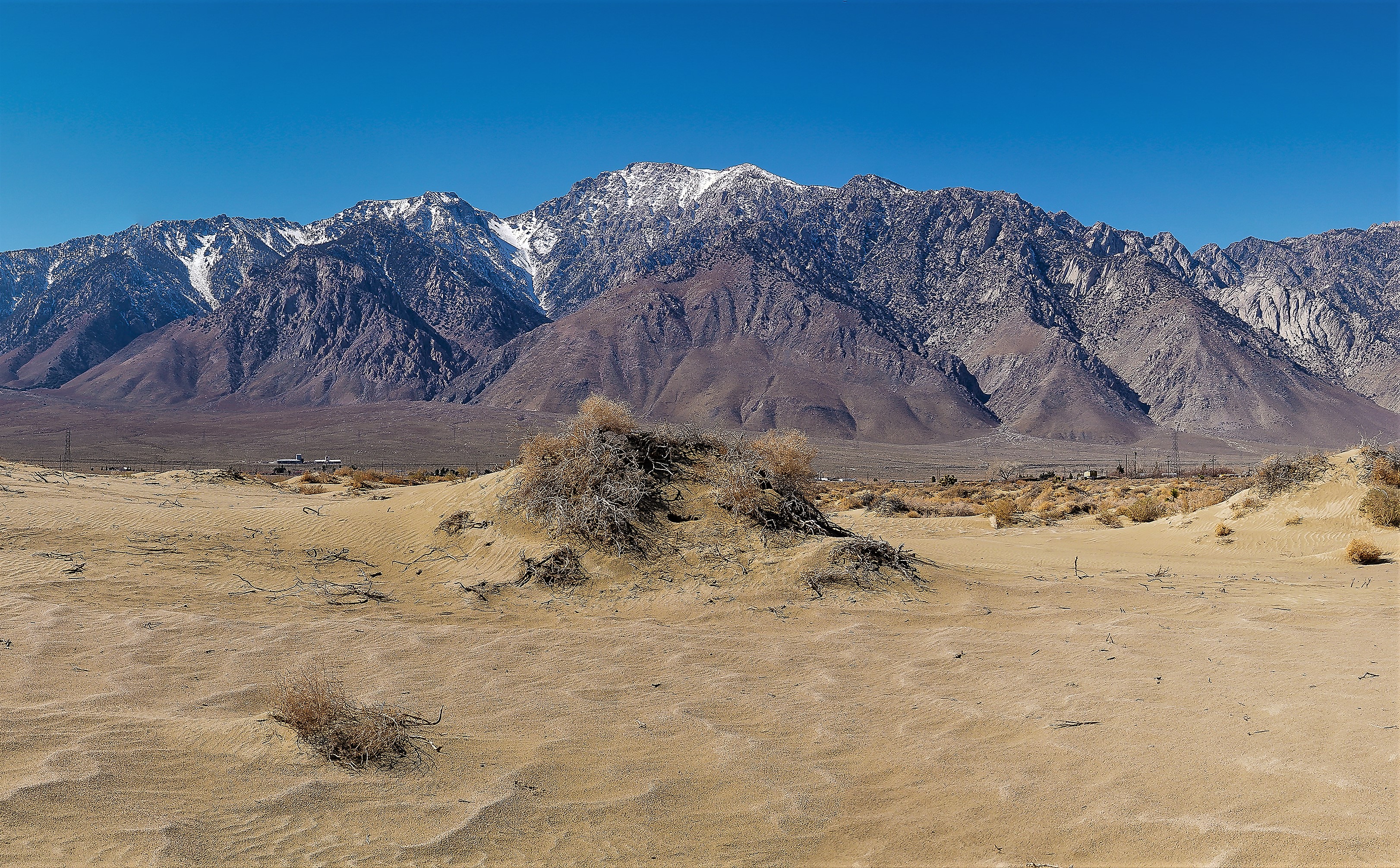
English: Located at the south end of the Owens Valley, the east aspect of Olancha Peak seen from Olancha Dunes |
| Date | |
| Source | https://www.flickr.com/photos/blmcalifornia/49921417637/ |
| Author | Bureau of Land Management California |
Licensing
| This image was originally posted to Flickr by blmcalifornia at https://flickr.com/photos/50976304@N07/49921417637. It was reviewed on 27 May 2021 by FlickreviewR 2 and was confirmed to be licensed under the terms of the Public Domain Mark. |
| This image is a work of a Bureau of Land Management* employee, taken or made as part of that person's official duties. As a work of the U.S. federal government, the image is in the public domain in the United States. *or predecessor organization |
| Annotations | This image is annotated: View the annotations at Commons |
File history
Click on a date/time to view the file as it appeared at that time.
| Date/Time | Thumbnail | Dimensions | User | Comment | |
|---|---|---|---|---|---|
| current | 04:52, 27 May 2021 | | 3,244 × 2,012 (3.32 MB) | Ron Clausen | crop, exposure |
| 04:47, 27 May 2021 | 8,466 × 2,755 (23.92 MB) | Ron Clausen | Uploaded a work by Bureau of Land Management California from https://www.flickr.com/photos/blmcalifornia/49921417637/ with UploadWizard |
File usage
The following pages on the English Wikipedia use this file (pages on other projects are not listed):
Global file usage
The following other wikis use this file:
- Usage on de.wikipedia.org