
File:Obelisco Dos de mayo (Madrid) 03.jpg
Size of this preview: 450 × 600 pixels. Other resolutions: 180 × 240 pixels | 360 × 480 pixels | 960 × 1,280 pixels.
Original file (960 × 1,280 pixels, file size: 560 KB, MIME type: image/jpeg)
| This is a file from the Wikimedia Commons. Information from its description page there is shown below. Commons is a freely licensed media file repository. You can help. |
_03.jpg)
| Description |
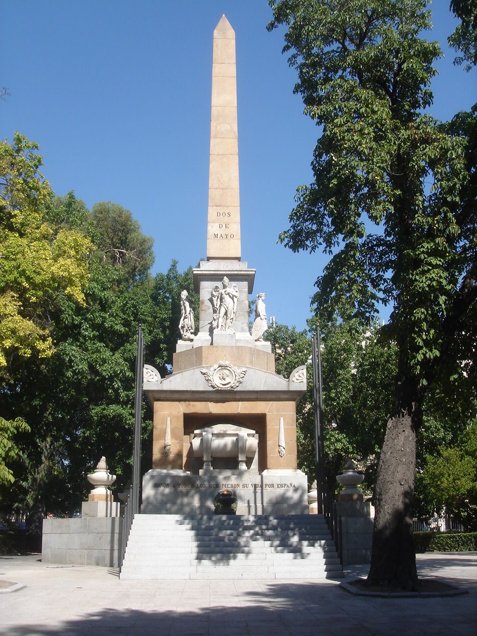
English: West side of the Monument to the Fallen for Spain at the Plaza de la Lealtad (square) in Madrid (Spain). Inaugurated in 1840 as a Monument to the Heroes of The Second of May and built according to a 1821 design by Isidro González Velázquez (1765–1840). In 1985 it was re-inaugurated as a monument in Honour of all those who gave their lives for Spain (inscription in the base) and an eternal flame was added.
Español: Lado oeste del Monumento a los Caídos por España en la Plaza de la Lealtad de Madrid (España). Inaugurado en 1840 como Monumento a los Héroes del Dos de Mayo de 1808 y construido según el diseño de Isidro González Velázquez (1765–1840) de 1821. En 1985 se reinauguró como monumento en Honor a todos los que dieron su vida por España (inscripción en la base) y se añadió una llama votiva permanente. DSC07484 |
||
| Date | |||
| Source | Flickr | ||
| Author | Paulo Henrique Rodrigues from Brazil | ||
| Permission (Reusing this file) |
This file is licensed under the Creative Commons Attribution 2.0 Generic license. Attribution: Paulo Henrique Rodrigues
|
| Object location | | View this and other nearby images on: OpenStreetMap |
|---|
_03.jpg¶ms=040.416374_N_-003.692884_E_globe:Earth_class:object_type:landmark_region:ES_&language=en)
File history
Click on a date/time to view the file as it appeared at that time.
| Date/Time | Thumbnail | Dimensions | User | Comment | |
|---|---|---|---|---|---|
| current | 23:26, 25 August 2009 | | 960 × 1,280 (560 KB) | Zaqarbal | Source: Flickr [http://www.flickr.com/photos/paulohrodrigues/3854575903/]. Licensing: Cc-by-2.0. Author: Paulo Henrique Rodrigues. Taken: 30–July–2009. |
File usage
The following pages on the English Wikipedia use this file (pages on other projects are not listed):
Global file usage
The following other wikis use this file:
- Usage on ar.wikipedia.org
- Usage on arz.wikipedia.org
- Usage on ca.wikipedia.org
- Usage on ceb.wikipedia.org
- Usage on de.wikipedia.org
- Usage on es.wikipedia.org
- Usage on fi.wikipedia.org
- Usage on fr.wikipedia.org
- Usage on gl.wikipedia.org
- Usage on incubator.wikimedia.org
- Usage on it.wikipedia.org
- Usage on nl.wikipedia.org
- Usage on ru.wikipedia.org
- Usage on www.wikidata.org
_03.jpg)