
File:NoordelijkeNevenlijnen.JPG

Size of this preview: 800 × 438 pixels. Other resolutions: 320 × 175 pixels | 640 × 350 pixels | 1,039 × 569 pixels.
Original file (1,039 × 569 pixels, file size: 153 KB, MIME type: image/jpeg)
| This is a file from the Wikimedia Commons. Information from its description page there is shown below. Commons is a freely licensed media file repository. You can help. |

|
This map image could be re-created using vector graphics as an SVG file. This has several advantages; see Commons:Media for cleanup for more information. If an SVG form of this image is available, please upload it and afterwards replace this template with
{{vector version available|new image name}}.
It is recommended to name the SVG file “NoordelijkeNevenlijnen.svg”—then the template Vector version available (or Vva) does not need the new image name parameter. |


Summary
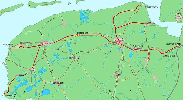
| Description | Gebaseerd op kaart van http://www.demis.nl/wms/mapclip.htm (vrije software gebaseerd op vrije database) | ||||
| Date | |||||
| Source | Own work | ||||
| Author | User:Willem_90 | ||||
| Permission (Reusing this file) |
|
Licensing
| I, the copyright holder of this work, release this work into the public domain. This applies worldwide. In some countries this may not be legally possible; if so: I grant anyone the right to use this work for any purpose, without any conditions, unless such conditions are required by law. |
File history
Click on a date/time to view the file as it appeared at that time.
| Date/Time | Thumbnail | Dimensions | User | Comment | |
|---|---|---|---|---|---|
| current | 19:01, 19 January 2015 | | 1,039 × 569 (153 KB) | Martijnvdputten | Added Zuidbroek - Veendam |
| 19:48, 16 February 2008 |  | 1,039 × 569 (87 KB) | Willem 90 | {{Information |Description=Gebaseerd op kaart van http://www.demis.nl/wms/mapclip.htm (vrije software gebaseerd op vrije database) |Source=eigen werk |Date=2008-02-16 |Author= Mauritsvink |Permission={{PD-Demis}} |other_versions= }} |
File usage
The following pages on the English Wikipedia use this file (pages on other projects are not listed):
Global file usage
The following other wikis use this file:
- Usage on fy.wikipedia.org
- Usage on nl.wikipedia.org