
File:Nonoichi in Ishikawa Prefecture Ja.svg

Original file (SVG file, nominally 550 × 932 pixels, file size: 12 KB)
| This is a file from the Wikimedia Commons. Information from its description page there is shown below. Commons is a freely licensed media file repository. You can help. |
Summary
| Description |
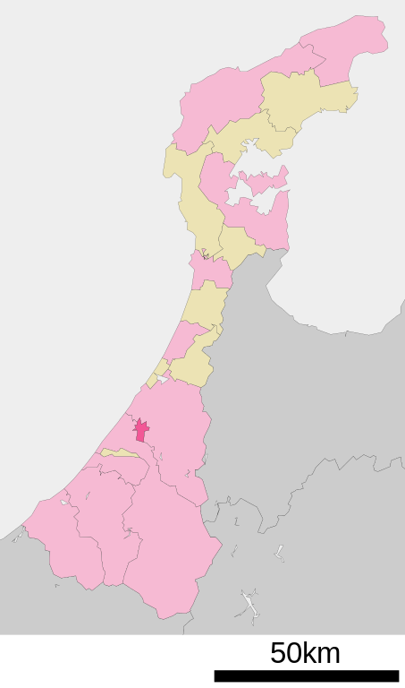
English: Location of Nonoichi in Ishikawa Prefecture
|
||
| Date | (UTC) 2013-03-03 | ||
| Source |
File:基礎自治体位置図 17344.svgをAdobe Illustratorにて加工
|
||
| Author | Lincun、みちまん | ||
| Permission (Reusing this file) |
|
Licensing

|
Permission is granted to copy, distribute and/or modify this document under the terms of the GNU Free Documentation License, Version 1.2 or any later version published by the Free Software Foundation; with no Invariant Sections, no Front-Cover Texts, and no Back-Cover Texts. A copy of the license is included in the section entitled GNU Free Documentation License. |
- You are free:
- to share – to copy, distribute and transmit the work
- to remix – to adapt the work
- Under the following conditions:
- attribution – You must give appropriate credit, provide a link to the license, and indicate if changes were made. You may do so in any reasonable manner, but not in any way that suggests the licensor endorses you or your use.
- share alike – If you remix, transform, or build upon the material, you must distribute your contributions under the same or compatible license as the original.
Original upload log
| This file was moved from Japanese Wikipedia.
See below for original file information. | ||||||||||||||||||||||||||||||||
| ||||||||||||||||||||||||||||||||
|
| ||||||||||||||||||||||||||||||||
File history
Click on a date/time to view the file as it appeared at that time.
| Date/Time | Thumbnail | Dimensions | User | Comment | |
|---|---|---|---|---|---|
| current | 16:42, 2 March 2013 | | 550 × 932 (12 KB) | みちまん | Reorganize Nonoichi in Ishikawa Prefecture as a city. |
| 16:15, 2 March 2013 |  | 550 × 932 (12 KB) | みちまん | 市制施行によりファイル:基礎自治体位置図 17344.svgを編集。色使いと線の太さを作者の最終作品に合わせる。 | |
| 13:55, 10 November 2009 |  | 550 × 932 (10 KB) | Monaneko | {{Information |Description={{en|1=Location of Nonoichi in Ishikawa Prefecture}} {{ja|1=石川県石川郡野々市町の位置}} |Source=ja:File:基礎自治体位置図 17324.svg |Author=ja:User:Lincun |Date=2007-10-02 12:23 (UTC) |Permission= |
File usage
Global file usage
The following other wikis use this file:
- Usage on ar.wikipedia.org
- Usage on arz.wikipedia.org
- Usage on ce.wikipedia.org
- Usage on es.wikipedia.org
- Usage on fa.wikipedia.org
- Usage on fi.wikipedia.org
- Usage on it.wikipedia.org
- Usage on ja.wikipedia.org
- Usage on ko.wikipedia.org
- Usage on ms.wikipedia.org
- Usage on nl.wikipedia.org
- Usage on ro.wikipedia.org
- Usage on sv.wikipedia.org
- Usage on tt.wikipedia.org
- Usage on uk.wikipedia.org
- Usage on vi.wikipedia.org
- Usage on www.wikidata.org
- Usage on zh.wikipedia.org