
File:Niger, Margou (13), water well with tree.jpg
Size of this preview: 800 × 589 pixels. Other resolutions: 320 × 235 pixels | 640 × 471 pixels | 1,024 × 753 pixels | 1,280 × 942 pixels | 2,560 × 1,884 pixels | 3,240 × 2,384 pixels.
Original file (3,240 × 2,384 pixels, file size: 2.41 MB, MIME type: image/jpeg)
| This is a file from the Wikimedia Commons. Information from its description page there is shown below. Commons is a freely licensed media file repository. You can help. |
,_water_well_with_tree.jpg)
Summary
| Description |
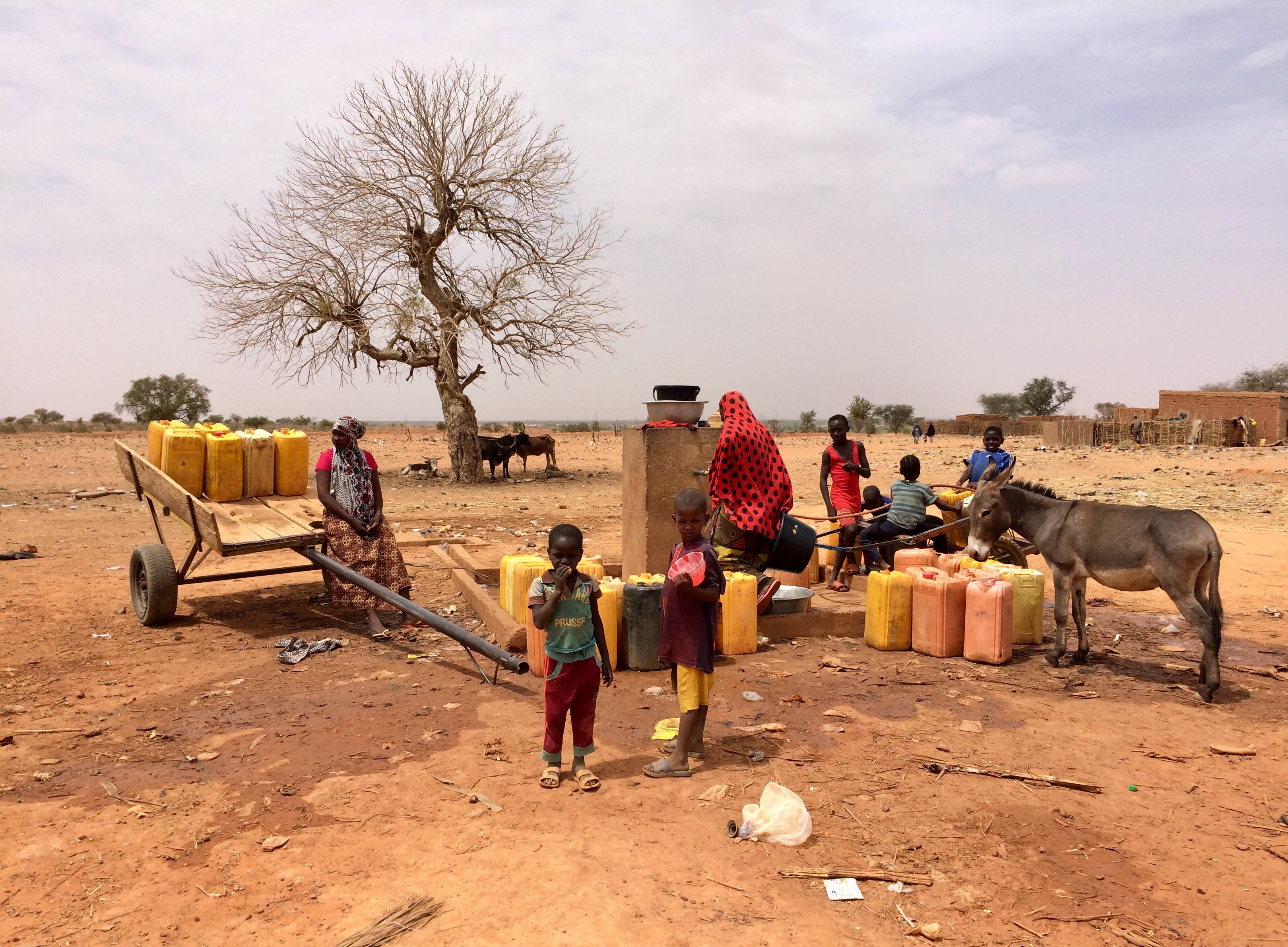
English: Filling jerrycans at a water point in Margou, a village in southwestern Niger along the Route Nationale No.1, at 7.8 km West of Birni N'Gaouré (Dosso region, Boboye department, Birni N'Gaouré commune).
Français : Remplissage des jerrycans à un point d'eau à Margou, village du sud-ouest du Niger situé le long de la Route Nationale N° 1, à 7,8 km à l'ouest de Birni N'Gaouré (région de Dosso, département de Boboye, commune de Birni N'Gaouré). |
| Date | |
| Source | Own work |
| Author | NigerTZai |
The tree stands exactly here:
| Camera location | | View this and other nearby images on: OpenStreetMap |
|---|
,_water_well_with_tree.jpg¶ms=013.105781_N_0002.842314_E_globe:Earth_type:camera__&language=en)
Licensing
I, the copyright holder of this work, hereby publish it under the following licenses:
This file is licensed under the Creative Commons Attribution-Share Alike 4.0 International license.
- You are free:
- to share – to copy, distribute and transmit the work
- to remix – to adapt the work
- Under the following conditions:
- attribution – You must give appropriate credit, provide a link to the license, and indicate if changes were made. You may do so in any reasonable manner, but not in any way that suggests the licensor endorses you or your use.
- share alike – If you remix, transform, or build upon the material, you must distribute your contributions under the same or compatible license as the original.

|
Permission is granted to copy, distribute and/or modify this document under the terms of the GNU Free Documentation License, Version 1.2 or any later version published by the Free Software Foundation; with no Invariant Sections, no Front-Cover Texts, and no Back-Cover Texts. A copy of the license is included in the section entitled GNU Free Documentation License. |
You may select the license of your choice.
File history
Click on a date/time to view the file as it appeared at that time.
| Date/Time | Thumbnail | Dimensions | User | Comment | |
|---|---|---|---|---|---|
| current | 22:40, 23 May 2019 | | 3,240 × 2,384 (2.41 MB) | NigerTZai | {{Information |description ={{en|1=Filling jerrycans at a water point in Margou, a village in southwestern Niger along the Route Nationale No.1, at 7.8 km West of Birni N'Gaouré (Dosso region, Boboye department, Birni N'Gaouré commune).}} {{fr|1=Remplissage des jerrycans à un point d'eau à Margou, village du sud-ouest du Niger situé le long de la Route Nationale N° 1, à 7,8 km à l'ouest de Birni N'Gaouré (région de Dosso, département de Boboye, commune de Birni N'Gaouré).}} |date =... |
File usage
The following pages on the English Wikipedia use this file (pages on other projects are not listed):
Global file usage
The following other wikis use this file:
- Usage on ro.wikipedia.org
- Usage on uk.wikipedia.org
,_water_well_with_tree.jpg)