
File:Nakanoshima nishikaigan.jpg

Size of this preview: 800 × 450 pixels. Other resolutions: 320 × 180 pixels | 640 × 360 pixels | 1,024 × 576 pixels | 1,280 × 720 pixels | 2,560 × 1,440 pixels | 3,872 × 2,178 pixels.
Original file (3,872 × 2,178 pixels, file size: 5.47 MB, MIME type: image/jpeg)
| This is a file from the Wikimedia Commons. Information from its description page there is shown below. Commons is a freely licensed media file repository. You can help. |
Summary
| Description |
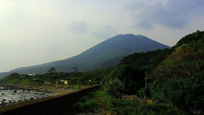
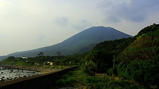
日本語: トカラ列島中之島の西海岸(寄木地区)から御岳を見る |
| Date | |
| Source | 投稿者が撮影。PENTAX K10D + smc PENTAX-A 1:2.8 20mm |
| Author | 名古屋太郎 |
| Camera location | | View this and other nearby images on: OpenStreetMap |
|---|
Licensing
| I, the copyright holder of this work, release this work into the public domain. This applies worldwide. In some countries this may not be legally possible; if so: I grant anyone the right to use this work for any purpose, without any conditions, unless such conditions are required by law. |
File history
Click on a date/time to view the file as it appeared at that time.
| Date/Time | Thumbnail | Dimensions | User | Comment | |
|---|---|---|---|---|---|
| current | 05:47, 6 March 2021 | | 3,872 × 2,178 (5.47 MB) | 名古屋太郎 | The change of the number of the pixels. Trimmed. |
| 13:52, 13 February 2009 |  | 1,195 × 800 (807 KB) | 名古屋太郎 | {{Information |Description={{ja|1=トカラ列島中之島の西海岸(寄木地区)から御岳を見る}} |Source=投稿者が撮影。PENTAX K10D + smc PENTAX-A 1:2.8 20mm |Author=NNE |Date=2007/5/1 |Permission= |other_versions= }} <!--{{ImageUplo |
File usage
The following pages on the English Wikipedia use this file (pages on other projects are not listed):
Global file usage
The following other wikis use this file:
- Usage on arz.wikipedia.org
- Usage on ceb.wikipedia.org
- Usage on de.wikipedia.org
- Usage on de.wikivoyage.org
- Usage on en.wikivoyage.org
- Usage on fr.wikipedia.org
- Usage on fr.wikivoyage.org
- Usage on ja.wikipedia.org
- Usage on sk.wikipedia.org
- Usage on uk.wikipedia.org
- Usage on www.wikidata.org