
File:Mount Lebanon.jpg
Size of this preview: 800 × 490 pixels. Other resolutions: 320 × 196 pixels | 640 × 392 pixels | 1,024 × 627 pixels | 1,280 × 784 pixels | 2,560 × 1,567 pixels | 5,328 × 3,262 pixels.
Original file (5,328 × 3,262 pixels, file size: 4.77 MB, MIME type: image/jpeg)
| This is a file from the Wikimedia Commons. Information from its description page there is shown below. Commons is a freely licensed media file repository. You can help. |
Summary
| Description |
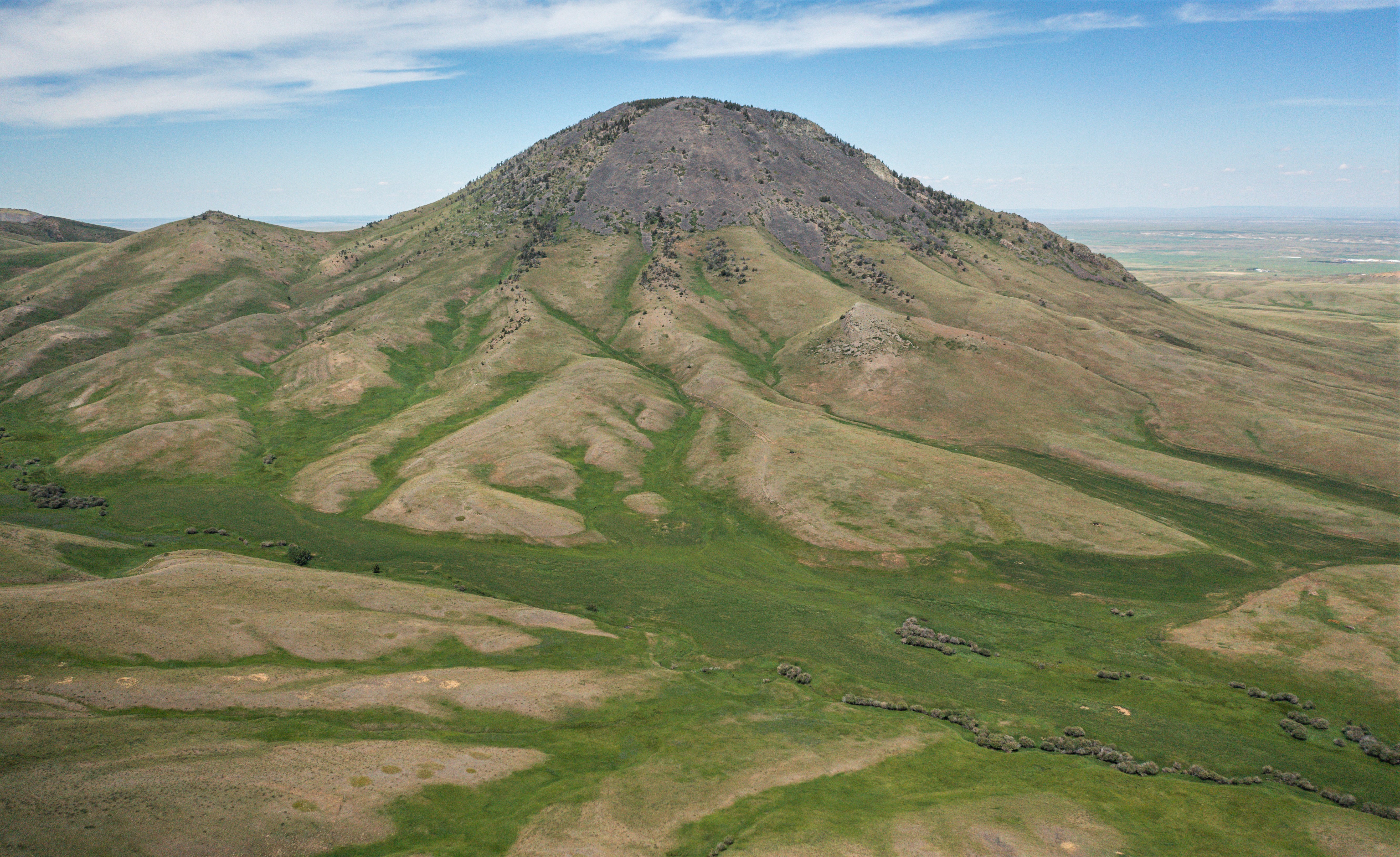
English: South aspect of Mount Lebanon in the Sweet Grass Hills, Liberty County, near Chester, Montana. Summit elevation 5,807 feet. June 2021 |
| Date | |
| Source | https://www.flickr.com/photos/160831427@N06/51912544935/ |
| Author | USDA NRCS Montana |
| Camera location | | View this and other nearby images on: OpenStreetMap |
|---|
Licensing
| This image was originally posted to Flickr by NRCS Montana at https://flickr.com/photos/160831427@N06/51912544935. It was reviewed on 22 July 2023 by FlickreviewR 2 and was confirmed to be licensed under the terms of the Public Domain Mark. |
This image or file is a work of a United States Department of Agriculture employee, taken or made as part of that person's official duties. As a work of the U.S. federal government, the image is in the public domain.
|
 |
File history
Click on a date/time to view the file as it appeared at that time.
| Date/Time | Thumbnail | Dimensions | User | Comment | |
|---|---|---|---|---|---|
| current | 23:48, 22 July 2023 | | 5,328 × 3,262 (4.77 MB) | Ron Clausen | crop, exposure |
| 23:43, 22 July 2023 |  | 5,464 × 3,640 (20.43 MB) | Ron Clausen | Uploaded a work by USDA NRCS Montana from https://www.flickr.com/photos/160831427@N06/51912544935/ with UploadWizard |
File usage
The following pages on the English Wikipedia use this file (pages on other projects are not listed):