
File:Montauban - le Pont Vieux.jpg

Size of this preview: 800 × 585 pixels. Other resolutions: 320 × 234 pixels | 640 × 468 pixels | 1,024 × 749 pixels | 1,280 × 937 pixels | 2,560 × 1,873 pixels | 6,712 × 4,912 pixels.
Original file (6,712 × 4,912 pixels, file size: 22.34 MB, MIME type: image/jpeg)
| This is a file from the Wikimedia Commons. Information from its description page there is shown below. Commons is a freely licensed media file repository. You can help. |
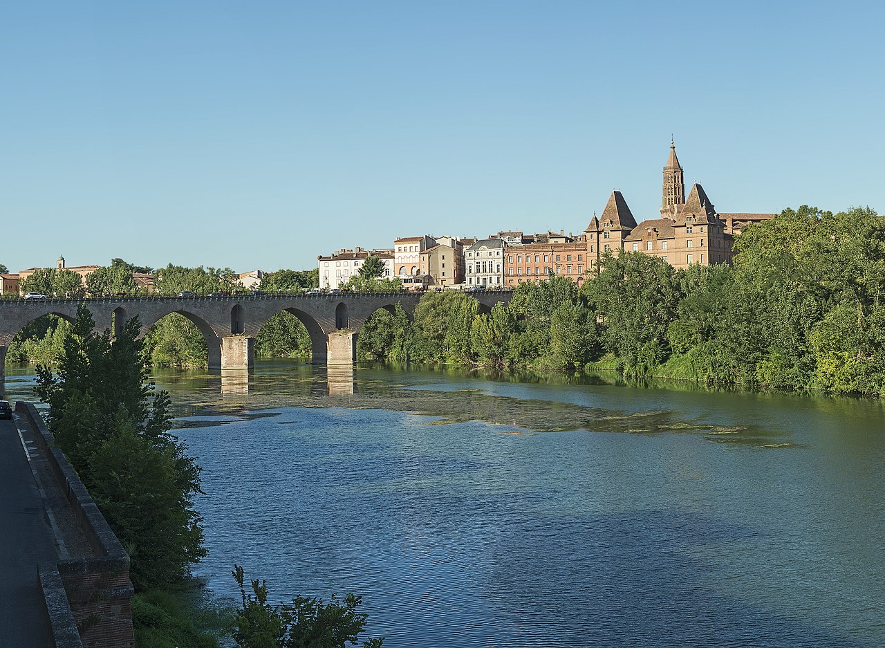
Pont Vieux, Montauban France
Summary
| Description |
English: Pont Vieux, Montauban, Tarn et Garonne, France. Français : Le Pont Vieux, Montauban, Tarn-et-Garonne, France.
|
||
| Date | Taken on 12 August 2013 | ||
| Source | Own work | ||
| Author | Didier Descouens | ||
| Permission (Reusing this file) |
I, the copyright holder of this work, hereby publish it under the following license: This file is licensed under the Creative Commons Attribution-Share Alike 4.0 International license.
|
| Camera location | | View this and other nearby images on: OpenStreetMap |
|---|
|


File history
Click on a date/time to view the file as it appeared at that time.
| Date/Time | Thumbnail | Dimensions | User | Comment | |
|---|---|---|---|---|---|
| current | 10:05, 26 August 2013 | | 6,712 × 4,912 (22.34 MB) | Archaeodontosaurus | {{Information |Description ={{en|1=c}} |Source ={{own}} |Author =Archaeodontosaurus |Date = |Permission = |other_versions = }} |
File usage
The following pages on the English Wikipedia use this file (pages on other projects are not listed):
Global file usage
The following other wikis use this file:
- Usage on azb.wikipedia.org
- Usage on br.wikipedia.org
- Usage on ca.wikipedia.org
- Usage on cs.wikipedia.org
- Usage on cv.wikipedia.org
- Usage on de.wikipedia.org
- Usage on de.wikivoyage.org
- Usage on es.wikipedia.org
- Usage on fa.wikipedia.org
- Usage on fa.wikivoyage.org
- Usage on fi.wikipedia.org
- Usage on fr.wikipedia.org
- Montauban
- Liste de ponts de France
- Portail:Tarn-et-Garonne
- Portail:Tarn-et-Garonne/Introduction
- Liste des ponts médiévaux de France
- Pont Vieux (Montauban)
- Liste des monuments historiques de Montauban
- Grand Site Occitanie
- Unité urbaine de Montauban
- Occitanie (région administrative)
- Wikipédia:Wikiconcours/mars 2018/Équipes
- Wikipédia:Wikiconcours/mars 2018/Équipes/Équipe 16
- Liste des monuments historiques protégés en 1911
- Usage on fr.wiktionary.org
- Usage on gd.wikipedia.org
- Usage on hak.wikipedia.org
- Usage on hy.wikipedia.org
- Usage on id.wikipedia.org
- Usage on it.wikipedia.org
- Usage on lb.wikipedia.org
- Usage on mg.wikipedia.org
- Usage on ms.wikipedia.org
- Usage on nl.wikipedia.org
- Usage on no.wikipedia.org
- Usage on pl.wikipedia.org
- Usage on pl.wikivoyage.org
- Usage on pl.wiktionary.org
- Usage on ro.wikipedia.org
- Usage on ru.wikipedia.org
- Usage on sh.wikipedia.org
View more global usage of this file.