
File:Minano Papaver Rhoeas Field 2.jpg
Size of this preview: 800 × 533 pixels. Other resolutions: 320 × 213 pixels | 640 × 427 pixels | 1,024 × 683 pixels | 1,280 × 853 pixels | 2,560 × 1,707 pixels | 4,200 × 2,800 pixels.
Original file (4,200 × 2,800 pixels, file size: 4.94 MB, MIME type: image/jpeg)
| This is a file from the Wikimedia Commons. Information from its description page there is shown below. Commons is a freely licensed media file repository. You can help. |
Summary
| Description | |
| Date | |
| Source | Own work by the original uploader |
| Author | 京浜にけ at Japanese Wikipedia |
| Other versions |
 |
| Camera location | | View this and other nearby images on: OpenStreetMap |
|---|
Licensing
京浜にけ at Japanese Wikipedia, the copyright holder of this work, hereby publishes it under the following licenses:

|
Permission is granted to copy, distribute and/or modify this document under the terms of the GNU Free Documentation License, Version 1.2 or any later version published by the Free Software Foundation; with no Invariant Sections, no Front-Cover Texts, and no Back-Cover Texts. A copy of the license is included in the section entitled GNU Free Documentation License. |
This file is licensed under the Creative Commons Attribution-Share Alike 3.0 Unported license.
Attribution: 京浜にけ at Japanese Wikipedia
- You are free:
- to share – to copy, distribute and transmit the work
- to remix – to adapt the work
- Under the following conditions:
- attribution – You must give appropriate credit, provide a link to the license, and indicate if changes were made. You may do so in any reasonable manner, but not in any way that suggests the licensor endorses you or your use.
- share alike – If you remix, transform, or build upon the material, you must distribute your contributions under the same or compatible license as the original.
You may select the license of your choice.
Original upload log
The original description page was here. All following user names refer to ja.wikipedia.
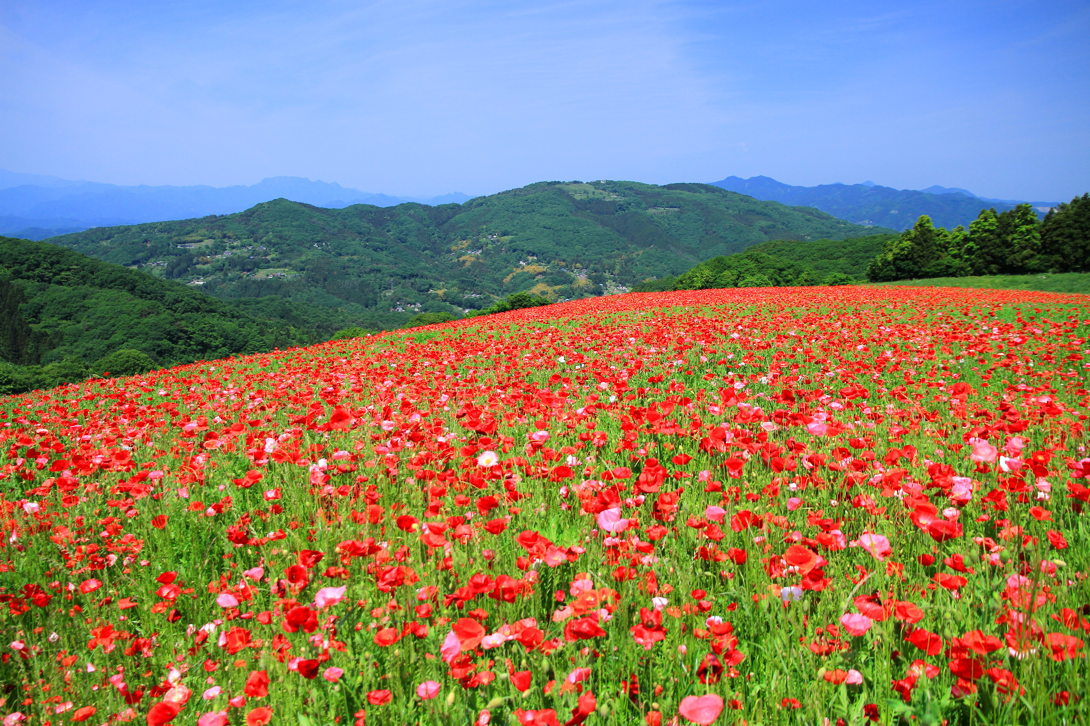
- 2011-06-07 13:52 京浜にけ 4200×2800× (5179438 bytes) {{Information |Description={{ja|1=秩父高原牧場のシャーレーポピー([[埼玉県]][[秩父郡]][[皆野町]])}} |Source=投稿者の撮影 |Date=2011年5月25日 |Author=[[利用者:京浜にけ|京浜にけ]] | Permission = [[Category:Minano, Saitama]] [[Category:papaver fields]] [[Category:flower fields in Japan]] [[Category:Flowers in Saitama prefecture]]
| This file was moved from Japanese Wikipedia.
See below for original file information. | ||||||||||||||||||||||||||||||||||||
| ||||||||||||||||||||||||||||||||||||
|
| ||||||||||||||||||||||||||||||||||||
File history
Click on a date/time to view the file as it appeared at that time.
| Date/Time | Thumbnail | Dimensions | User | Comment | |
|---|---|---|---|---|---|
| current | 18:01, 23 June 2011 | | 4,200 × 2,800 (4.94 MB) | File Upload Bot (Magnus Manske) | {{BotMoveToCommons|ja.wikipedia|year={{subst:CURRENTYEAR}}|month={{subst:CURRENTMONTHNAME}}|day={{subst:CURRENTDAY}}}} {{Information |Description={{ja|{{Information |Description= |Source=投稿者の撮影 |Date=2011年5月25日 |Author=[[:ja:利用者: |
File usage
The following pages on the English Wikipedia use this file (pages on other projects are not listed):
Global file usage
The following other wikis use this file:
- Usage on ja.wikipedia.org
- Usage on ms.wikipedia.org