
File:Mehring Way view of downtown Cincinnati.jpg

Size of this preview: 800 × 600 pixels. Other resolutions: 320 × 240 pixels | 640 × 480 pixels | 1,024 × 768 pixels | 1,280 × 960 pixels | 2,560 × 1,920 pixels | 2,816 × 2,112 pixels.
Original file (2,816 × 2,112 pixels, file size: 1.48 MB, MIME type: image/jpeg)
| This is a file from the Wikimedia Commons. Information from its description page there is shown below. Commons is a freely licensed media file repository. You can help. |
| Camera location | | View this and other nearby images on: OpenStreetMap |
|---|
| Description |
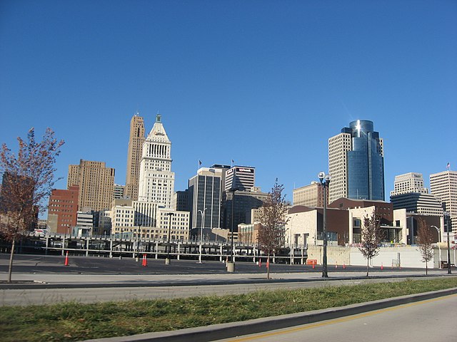
English: Skyline of Cincinnati, Ohio, United States, seen from near the Ohio River. Picture is taken from Mehring Way (U.S. Routes 27/52) immediately east of the Great American Ball Park. |
||
| Date | Taken on 10 November 2012 | ||
| Source | Own work | ||
| Author | Nyttend | ||
| Permission (Reusing this file) |
|
| Annotations | This image is annotated: View the annotations at Commons |
File history
Click on a date/time to view the file as it appeared at that time.
| Date/Time | Thumbnail | Dimensions | User | Comment | |
|---|---|---|---|---|---|
| current | 05:43, 18 November 2012 | | 2,816 × 2,112 (1.48 MB) | Nyttend | {{Location|39|5|42|N|84|30|46|W}} {{Information |Description={{en|Skyline of {{w|Cincinnati}}, {{w|Ohio}}, {{w|United States}}, seen from near the {{w|Ohio River}}. Picture is taken from Mehring Way (U.S. Routes {{w|U.S. Route 27|27}}/{{w|U.S. Route 5... |
File usage
The following pages on the English Wikipedia use this file (pages on other projects are not listed):