
File:Mediterranean Sea location map.svg

Original file (SVG file, nominally 1,754 × 862 pixels, file size: 1.19 MB)
| This is a file from the Wikimedia Commons. Information from its description page there is shown below. Commons is a freely licensed media file repository. You can help. |
Summary
| Description |
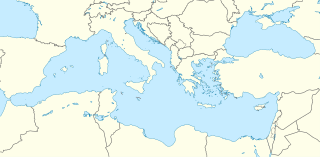
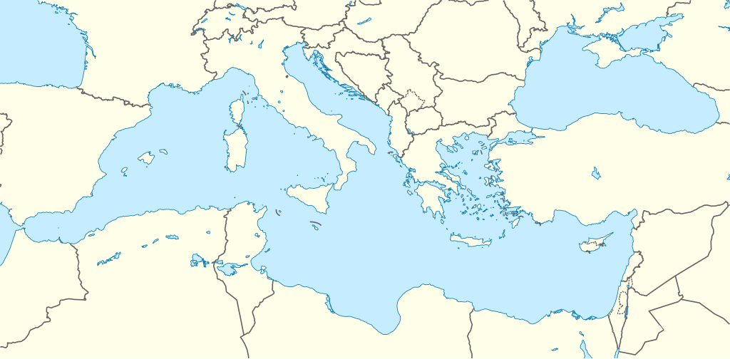
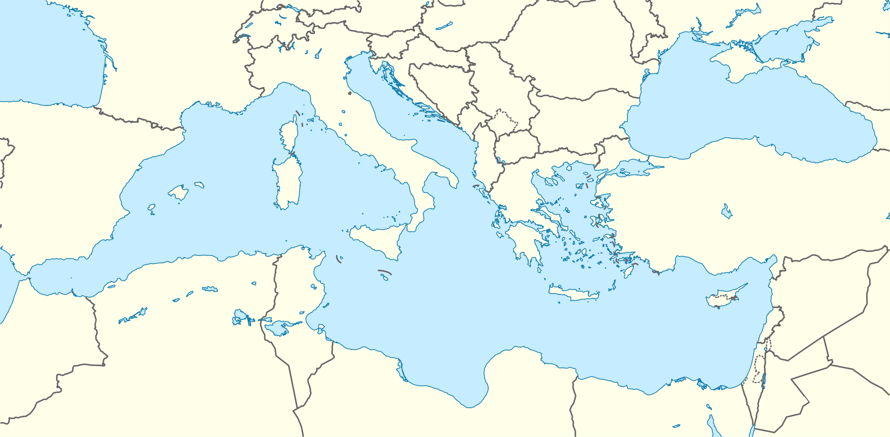
Deutsch: Positionskarte des Mittelmeers
Quadratische Plattkarte, N-S-Streckung 128 %. Geographische Begrenzung der Karte:
English: Location map of the Mediterranean Sea
Equirectangular projection, N/S stretching 128 %. Geographic limits of the map:
|
|
| Date | ||
| Source | Own work using World Data Base II data | |
| Author | NordNordWest | |
| Permission (Reusing this file) |
This file is licensed under the Creative Commons Attribution-Share Alike 3.0 Germany license.
 This file is licensed under the Creative Commons Attribution-Share Alike 3.0 Unported license.
|
|
| Other versions |
Derivative works of this file: |

.svg)

|
This map has been made or improved in the German Kartenwerkstatt (Map Lab). You can propose maps to improve as well.
|
File history
Click on a date/time to view the file as it appeared at that time.
| Date/Time | Thumbnail | Dimensions | User | Comment | |
|---|---|---|---|---|---|
| current | 08:58, 8 September 2010 | | 1,754 × 862 (1.19 MB) | NordNordWest | =={{int:filedesc}}== {{Information |Description= {{de|Positionskarte des Mittelmeers}} Quadratische Plattkarte, N-S-Streckung 128 %. Geographische Begrenzung der Karte: * N: 48.0° N * S: 29.0° N * W: 7.0° W * O: 42.5° O {{en|Locatio |
File usage
- Antalya Airport
- Battle of Actium
- Battle of Alexandria (30 BC)
- Battle of Ist
- Battle of Zama
- Bouri Field
- Canis arnensis
- Gazipaşa–Alanya Airport
- Gorgias
- Gozo General Hospital
- Hrabri-class submarine
- ISMETT
- Junior Eurovision Song Contest 2015
- Kairouan
- Kukës International Airport Zayed
- Milos Island National Airport
- Operation Harpoon (1942)
- Origen
- Pristina International Airport
- Robert Ney McNeely
- SM U-32 (Germany)
- SS Clan Macalister (1903)
- SS Persia (1900)
- Skerki Banks
- Tirana International Airport Nënë Tereza
- Yugoslav submarine Nebojša
- User:AtomCrusher/sandbox
- User:Kq-hit/Maps
- Module:Location map/data/Mediterranean
- Module:Location map/data/Mediterranean/doc
Global file usage
The following other wikis use this file:
- Usage on ar.wikipedia.org
- قائمة الدول المتوسطية
- قالب:خريطة مواقع البحر المتوسط
- ويكيبيديا:بوابة اليوم المختارة/الأرشيف
- ويكيبيديا:بوابة اليوم المختارة/يناير 2016
- قالب:بوابة اليوم المختارة/2016-01-03
- قالب:بوابة اليوم المختارة/2016-01-04
- ويكيبيديا:بوابة اليوم المختارة/مايو 2016
- قالب:بوابة اليوم المختارة/2016-05-13
- قالب:بوابة اليوم المختارة/2016-09-01
- ويكيبيديا:بوابة اليوم المختارة/سبتمبر 2016
- ويكيبيديا:بوابة اليوم المختارة/ديسمبر 2016
- قالب:بوابة اليوم المختارة/2016-12-27
- ويكيبيديا:بوابة اليوم المختارة/أبريل 2017
- قالب:بوابة اليوم المختارة/2017-04-23
- ويكيبيديا:بوابة اليوم المختارة/أغسطس 2017
- قالب:بوابة اليوم المختارة/2017-08-19
- ويكيبيديا:بوابة اليوم المختارة/ديسمبر 2017
- قالب:بوابة اليوم المختارة/2017-12-03
- ويكيبيديا:بوابة اليوم المختارة/يونيو 2018
- قالب:بوابة اليوم المختارة/2018-06-02
- ويكيبيديا:بوابة اليوم المختارة/أغسطس 2018
- قالب:بوابة اليوم المختارة/2018-08-15
- ويكيبيديا:بوابة اليوم المختارة/يناير 2019
- قالب:بوابة اليوم المختارة/2019-01-05
- ويكيبيديا:بوابة اليوم المختارة/مايو 2019
- قالب:بوابة اليوم المختارة/2019-05-16
- ويكيبيديا:بوابة اليوم المختارة/أكتوبر 2019
- قالب:بوابة اليوم المختارة/2019-10-03
- ويكيبيديا:بوابة اليوم المختارة/فبراير 2020
- قالب:بوابة اليوم المختارة/2020-02-05
- القوات الجوية السادسة عشرة
- ويكيبيديا:بوابة اليوم المختارة/يونيو 2020
- قالب:بوابة اليوم المختارة/2020-06-06
- ويكيبيديا:بوابة اليوم المختارة/أكتوبر 2020
- قالب:بوابة اليوم المختارة/2020-10-04
- ويكيبيديا:بوابة اليوم المختارة/فبراير 2021
- قالب:بوابة اليوم المختارة/2021-02-08
- ويكيبيديا:بوابة اليوم المختارة/يونيو 2021
- قالب:بوابة اليوم المختارة/2021-06-14
- ويكيبيديا:بوابة اليوم المختارة/أكتوبر 2021
- قالب:بوابة اليوم المختارة/2021-10-19
- ويكيبيديا:بوابة اليوم المختارة/فبراير 2022
- قالب:بوابة اليوم المختارة/2022-02-22
- ويكيبيديا:بوابة اليوم المختارة/يونيو 2022
- قالب:بوابة اليوم المختارة/2022-06-30
- ويكيبيديا:بوابة اليوم المختارة/نوفمبر 2022
- قالب:بوابة اليوم المختارة/2022-11-04
- ويكيبيديا:بوابة اليوم المختارة/مارس 2023
- قالب:بوابة اليوم المختارة/2023-03-12
- ويكيبيديا:بوابة اليوم المختارة/يوليو 2023
View more global usage of this file.