
File:Mapai Mozambique.JPG
Size of this preview: 800 × 352 pixels. Other resolutions: 320 × 141 pixels | 1,035 × 455 pixels.
Original file (1,035 × 455 pixels, file size: 75 KB, MIME type: image/jpeg)
| This is a file from the Wikimedia Commons. Information from its description page there is shown below. Commons is a freely licensed media file repository. You can help. |
Summary
| Description |
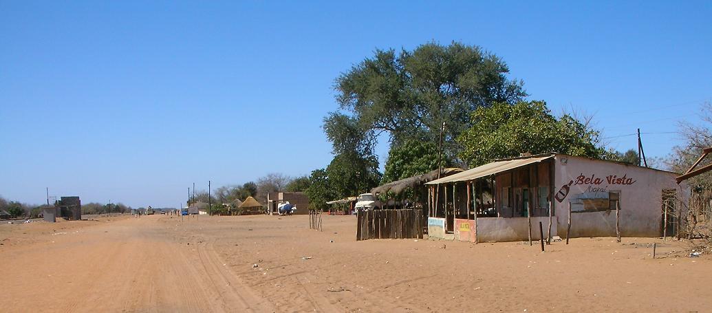
English: Photo of Mapai, Mozambique taken at 9:31 AM local time. Notice the rail line on the left. Camera is looking south. |
||
| Date | |||
| Source | Own work | ||
| Author | Brian Dell | ||
| Permission (Reusing this file) |
|
| Camera location | | View this and other nearby images on: OpenStreetMap |
|---|
File history
Click on a date/time to view the file as it appeared at that time.
| Date/Time | Thumbnail | Dimensions | User | Comment | |
|---|---|---|---|---|---|
| current | 17:52, 10 November 2008 | | 1,035 × 455 (75 KB) | Bdell555 | {{Information |Description={{en|1=photo of Mapai, Mozambique. Notice the rail line on the left. Camera is looking south.}} |Source=Own work by uploader |Author=Brian Dell Bdell555 |Date=15 Sept 2008 9:23 AM local time |Permission= |oth |
File usage
The following pages on the English Wikipedia use this file (pages on other projects are not listed):
Global file usage
The following other wikis use this file:
- Usage on de.wikipedia.org
- Usage on es.wikipedia.org
- Usage on fr.wikipedia.org
- Usage on ha.wikipedia.org
- Usage on ig.wikipedia.org
- Usage on pt.wikipedia.org
- Usage on ts.wikipedia.org
- Usage on uk.wikipedia.org
- Usage on www.wikidata.org
- Usage on zh-min-nan.wikipedia.org
- Usage on zh.wikipedia.org