
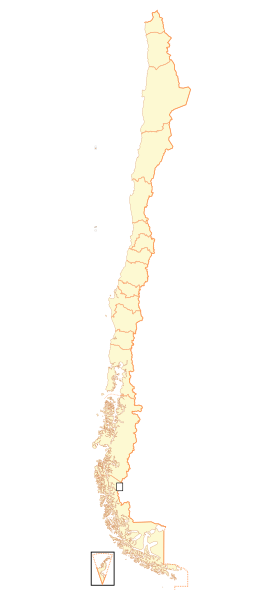
File:Mapa Regiones de Chile.svg

Size of this PNG preview of this SVG file: 270 × 600 pixels. Other resolutions: 108 × 240 pixels | 216 × 480 pixels | 345 × 768 pixels | 461 × 1,024 pixels | 921 × 2,048 pixels | 288 × 640 pixels.
Original file (SVG file, nominally 288 × 640 pixels, file size: 992 KB)
| This is a file from the Wikimedia Commons. Information from its description page there is shown below. Commons is a freely licensed media file repository. You can help. |
Summary
| Description |
Español: Mapa de Chile, dividido en regiones. |
| Date | |
| Source | Own work, basado en Image:Mapa Institutos Teletón.svg |
| Author | Carlos yo |
| Other versions | Derivative works of this file: Mapa Chile Apertura 2010.svg |
Licensing
I, the copyright holder of this work, hereby publish it under the following licenses:

|
Permission is granted to copy, distribute and/or modify this document under the terms of the GNU Free Documentation License, Version 1.2 or any later version published by the Free Software Foundation; with no Invariant Sections, no Front-Cover Texts, and no Back-Cover Texts. A copy of the license is included in the section entitled GNU Free Documentation License. |
This file is licensed under the Creative Commons Attribution-Share Alike 4.0 International, 3.0 Unported, 2.5 Generic, 2.0 Generic and 1.0 Generic license.
- You are free:
- to share – to copy, distribute and transmit the work
- to remix – to adapt the work
- Under the following conditions:
- attribution – You must give appropriate credit, provide a link to the license, and indicate if changes were made. You may do so in any reasonable manner, but not in any way that suggests the licensor endorses you or your use.
- share alike – If you remix, transform, or build upon the material, you must distribute your contributions under the same or compatible license as the original.
You may select the license of your choice.
File history
Click on a date/time to view the file as it appeared at that time.
| Date/Time | Thumbnail | Dimensions | User | Comment | |
|---|---|---|---|---|---|
| current | 22:56, 5 September 2018 | | 288 × 640 (992 KB) | Janitoalevic | Ñuble Region |
| 23:15, 20 August 2017 |  | 270 × 600 (1,015 KB) | Janitoalevic | Reverted to version as of 20:50, 16 January 2009 (UTC) | |
| 04:24, 20 August 2017 |  | 288 × 640 (906 KB) | Janitoalevic | Added Ñuble Region | |
| 20:50, 16 January 2009 |  | 270 × 600 (1,015 KB) | Carlos yo | {{Information |Description={{es|1=Mapa de Chile, dividido en regiones.}} |Source=trabajo propio (own work), basado en Image:Mapa Institutos Teletón.svg |Author=Carlos yo |Date=2009-16-1 |Permission= |other_versions= }} <!--{{Imag |
File usage
No pages on the English Wikipedia use this file (pages on other projects are not listed).
Global file usage
The following other wikis use this file:
- Usage on an.wikipedia.org
- Usage on es.wikipedia.org
- Chile
- Plantilla:Mapa de las Regiones de Chile
- Usuario:Derpo/En Construccion
- Torneo Transición de la Segunda División Profesional de Chile 2013
- Segunda División Profesional de Chile 2013-14
- Torneo Clausura 2014 Fútbol Femenino (Chile)
- Segunda División Profesional de Chile 2014-15
- Copa Chile 2014-15
- Torneo Apertura 2015 Fútbol Femenino (Chile)
- Copa Chile 2015
- Torneo Clausura 2015 Fútbol Femenino (Chile)
- Usuario:RBEditions/Taller/Tercera División B 2015
- Usuario:RBEditions/Taller/Tercera División B 2013 Apertura
- Usuario:WallmapuCAM/Taller/Tercera División B 2015
- Tercera División B de Chile 2015
- Discusión:Chile/Archivo 2017
- Usage on gl.wikipedia.org
- Usage on tr.wikipedia.org
- Usage on vec.wikipedia.org