
File:Map of ocean floor based on earths gravity field.png

Size of this preview: 800 × 575 pixels. Other resolutions: 320 × 230 pixels | 640 × 460 pixels | 1,024 × 737 pixels | 1,280 × 921 pixels | 1,500 × 1,079 pixels.
Original file (1,500 × 1,079 pixels, file size: 3.51 MB, MIME type: image/png)
| This is a file from the Wikimedia Commons. Information from its description page there is shown below. Commons is a freely licensed media file repository. You can help. |
Summary
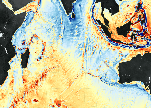
| Description | Map of ocean floor based on earths gravity field |
| Date | |
| Source | [1] |
| Author | NASA |
Licensing
| This file is in the public domain in the United States because it was solely created by NASA. NASA copyright policy states that "NASA material is not protected by copyright unless noted". (See Template:PD-USGov, NASA copyright policy page or JPL Image Use Policy.) | ||
 |
Warnings:
|
Original upload log
The original description page was here. All following user names refer to en.wikipedia.
| Date/Time | Dimensions | User | Comment |
|---|---|---|---|
| 2016-11-23 15:08:35 | 1500× 1079× | CS104G27 | Uploading a file from a free published source using [[Wikipedia:File_Upload_Wizard|File Upload Wizard]] |
File history
Click on a date/time to view the file as it appeared at that time.
| Date/Time | Thumbnail | Dimensions | User | Comment | |
|---|---|---|---|---|---|
| current | 07:36, 8 December 2016 | | 1,500 × 1,079 (3.51 MB) | FastilyClone | Transferred from en.wikipedia (MTC!) |
File usage
The following pages on the English Wikipedia use this file (pages on other projects are not listed):