
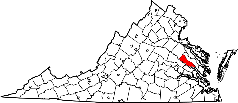
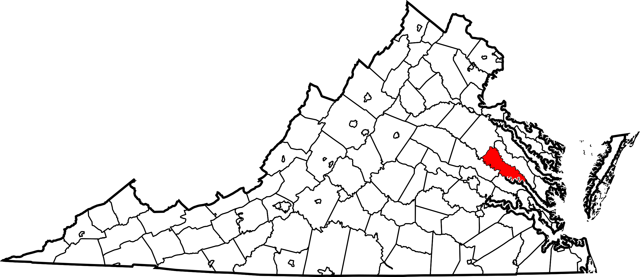
File:Map of Virginia highlighting King William County.svg

Size of this PNG preview of this SVG file: 800 × 347 pixels. Other resolutions: 320 × 139 pixels | 640 × 278 pixels | 1,024 × 444 pixels | 1,280 × 555 pixels | 2,560 × 1,110 pixels | 7,486 × 3,247 pixels.
Original file (SVG file, nominally 7,486 × 3,247 pixels, file size: 223 KB)
| This is a file from the Wikimedia Commons. Information from its description page there is shown below. Commons is a freely licensed media file repository. You can help. |
Summary
| Description |
English: This is a locator map showing King William County in Virginia. For more information, see Commons:United States county locator maps. |
| Date | |
| Source |
Own work: English: The maps use data from nationalatlas.gov, specifically countyp020.tar.gz on the Raw Data Download page. The maps also use state outline data from statesp020.tar.gz. The Florida maps use hydrogm020.tar.gz to display Lake Okeechobee. |
| Author | David Benbennick |
| SVG development |
Licensing
| I, the copyright holder of this work, release this work into the public domain. This applies worldwide. In some countries this may not be legally possible; if so: I grant anyone the right to use this work for any purpose, without any conditions, unless such conditions are required by law. |
File history
Click on a date/time to view the file as it appeared at that time.
| Date/Time | Thumbnail | Dimensions | User | Comment | |
|---|---|---|---|---|---|
| current | 17:48, 12 February 2006 | | 7,486 × 3,247 (223 KB) | David Benbennick | {{subst:User:Dbenbenn/clm|county=King William County|state=Virginia|type=county}} |
File usage
The following pages on the English Wikipedia use this file (pages on other projects are not listed):
- Aylett, Virginia
- Beulahville, Virginia
- Calno, Virginia
- Central Garage, Virginia
- Chericoke, Virginia
- Cohoke, Virginia
- Corinth Fork, Virginia
- Duane, Virginia
- Duane Fork, Virginia
- Elsing Green, Virginia
- Enfield, Virginia
- Epworth, Virginia
- Etna Mills, Virginia
- Globe, Virginia
- Horseshoe, Virginia
- Keith, Virginia
- King William, Virginia
- King William County, Virginia
- Lanesville, Virginia
- Lanesville Christadelphian Church
- List of census-designated places in Virginia
- List of cities and counties in Virginia
- Mangohick, Virginia
- Manquin, Virginia
- Mattaponi
- Midway, King William County, Virginia
- National Register of Historic Places listings in King William County, Virginia
- Pamunkey Indian Reservation
- Pamunkey River
- Port Richmond, Virginia
- Romancoke, Virginia
- Rosespout, Virginia
- Rumford, Virginia
- Sandy Point State Forest
- Sweet Hall, Virginia
- Sweet Hall Marsh
- Tuck Fork, Virginia
- Turpin, Virginia
- Upshaw, Virginia
- Venter, Virginia
- Wakema, Virginia
- West Point, Virginia
- Whitebank, Virginia
- Zoar State Forest
- User:LBourne/Scratch pad
- User:Nyttend/County templates/VA/2
- User:Nyttend/Virginia NRHP/King William
- User:Nyttend/sandbox2
- Template:KingWilliamCountyVA-geo-stub
- Template:King William County, Virginia
- Category:Populated places in King William County, Virginia
Global file usage
The following other wikis use this file:
- Usage on ar.wikipedia.org
- Usage on bpy.wikipedia.org
- Usage on ca.wikipedia.org
- Usage on cdo.wikipedia.org
- Usage on ceb.wikipedia.org
- Usage on ce.wikipedia.org
- Usage on cy.wikipedia.org
- Usage on de.wikipedia.org
- Usage on es.wikipedia.org
- Usage on eu.wikipedia.org
- Usage on fa.wikipedia.org
- Usage on fi.wikipedia.org
- Usage on fr.wikipedia.org
- Usage on hu.wikipedia.org
- Usage on it.wikipedia.org
- Usage on ja.wikipedia.org
- Usage on ko.wikipedia.org
- Usage on nds.wikipedia.org
- Usage on nl.wikipedia.org
- Usage on pl.wikipedia.org
- Usage on pnb.wikipedia.org
- Usage on pt.wikipedia.org
- Usage on ro.wikipedia.org
- Usage on ru.wikipedia.org
- Usage on sh.wikipedia.org
View more global usage of this file.