
File:Map of Ukraine political Karpatskyi raion.png
No higher resolution available.
Map_of_Ukraine_political_Karpatskyi_raion.png (800 × 559 pixels, file size: 161 KB, MIME type: image/png)
| This is a file from the Wikimedia Commons. Information from its description page there is shown below. Commons is a freely licensed media file repository. You can help. |
| Description |
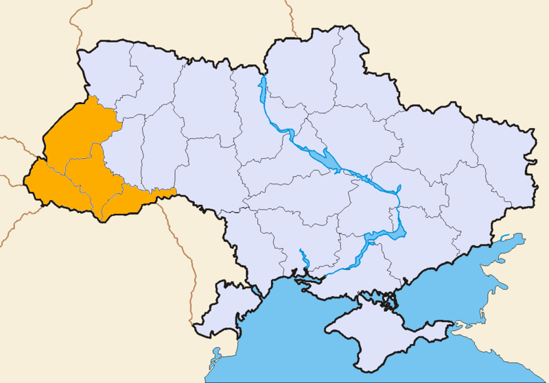
English: Map of Ukraine political Karpatskyi raion |
||||||||||
| Date | 6 July 2007 (original upload date) | ||||||||||
| Source | Own work | ||||||||||
| Author | Tomahiv at uk.wikipedia | ||||||||||
| Permission (Reusing this file) |
|

Original upload log
Originally from uk.wikipedia; description page is/was here. (All user names refer to uk.wikipedia)
- 2007-07-06 17:18 Tomahiv 800×559×8 (164943 bytes) {{?????????? |?????=??????????? ??????????? ????? ??????? |????=????. ???????????? ?? ???? ??????? |?????=Tomahiv |???????=Tomahive picture collection |??? ?
File history
Click on a date/time to view the file as it appeared at that time.
| Date/Time | Thumbnail | Dimensions | User | Comment | |
|---|---|---|---|---|---|
| current | 15:19, 6 November 2007 | | 800 × 559 (161 KB) | File Upload Bot (Magnus Manske) | {{BotMoveToCommons|uk.wikipedia}} {{Information |Description={{uk|== ???????????? ==}} |Source=Originally from [http://uk.wikipedia.org uk.wikipedia]; description page is/was [http://uk.wikipedia.org/w/index.php?title=Image%3A800px-Map_of_Ukraine_politic |
File usage
The following pages on the English Wikipedia use this file (pages on other projects are not listed):
Global file usage
The following other wikis use this file:
- Usage on da.wikipedia.org
- Usage on ru.wikipedia.org
- Usage on sr.wikipedia.org
- Usage on uk.wikipedia.org
- Usage on uk.wiktionary.org