
File:Map of Oregon highlighting Wallowa County.svg

Size of this PNG preview of this SVG file: 800 × 597 pixels. Other resolutions: 320 × 239 pixels | 640 × 478 pixels | 1,024 × 765 pixels | 1,280 × 956 pixels | 2,560 × 1,911 pixels | 2,005 × 1,497 pixels.
Original file (SVG file, nominally 2,005 × 1,497 pixels, file size: 102 KB)
| This is a file from the Wikimedia Commons. Information from its description page there is shown below. Commons is a freely licensed media file repository. You can help. |
W3C-validity not checked.
Summary
| Description |
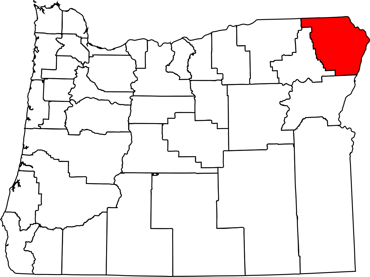
English: This is a locator map showing Wallowa County in Oregon. |
| Date | |
| Source | Own work |
| Author | David Benbennick made this map. For more information, see Commons:United States county locator maps. |
Licensing
| I, the copyright holder of this work, release this work into the public domain. This applies worldwide. In some countries this may not be legally possible; if so: I grant anyone the right to use this work for any purpose, without any conditions, unless such conditions are required by law. |
File history
Click on a date/time to view the file as it appeared at that time.
| Date/Time | Thumbnail | Dimensions | User | Comment | |
|---|---|---|---|---|---|
| current | 05:04, 9 March 2014 | | 2,005 × 1,497 (102 KB) | Rehua | Fixed |
| 16:19, 12 February 2006 |  | 6,451 × 4,810 (136 KB) | David Benbennick | {{subst:User:Dbenbenn/clm|county=Wallowa County|state=Oregon|type=county}} |
File usage
The following pages on the English Wikipedia use this file (pages on other projects are not listed):
- Copper, Wallowa County, Oregon
- Enterprise, Oregon
- Eureka Bar, Oregon
- Flora, Oregon
- Grouse, Oregon
- Imnaha, Oregon
- Joseph, Oregon
- Lewis, Oregon
- List of counties in Oregon
- List of regions of Oregon
- Lostine, Oregon
- Maxville, Oregon
- Minam, Oregon
- National Register of Historic Places listings in Wallowa County, Oregon
- Paradise, Oregon
- Promise, Oregon
- Troy, Oregon
- Wallowa, Oregon
- Wallowa County, Oregon
- Wallowa Lake, Oregon
- Zumwalt, Oregon
- User:AridCeption/sandbox
- User:Nyttend/County templates/OR
- Template:Wallowa County, Oregon
- Category:Populated places in Wallowa County, Oregon
Global file usage
The following other wikis use this file:
- Usage on ar.wikipedia.org
- Usage on bg.wikipedia.org
- Usage on bpy.wikipedia.org
- Usage on ca.wikipedia.org
- Usage on cdo.wikipedia.org
- Usage on ceb.wikipedia.org
- Usage on cy.wikipedia.org
- Usage on de.wikipedia.org
- Usage on es.wikipedia.org
- Usage on eu.wikipedia.org
- Usage on fa.wikipedia.org
- Usage on fi.wikipedia.org
- Usage on fr.wikipedia.org
- Usage on hu.wikipedia.org
View more global usage of this file.