
File:Map of Maryland highlighting Frederick County.svg

Size of this PNG preview of this SVG file: 800 × 419 pixels. Other resolutions: 320 × 167 pixels | 640 × 335 pixels | 1,024 × 536 pixels | 1,280 × 670 pixels | 2,560 × 1,340 pixels | 3,858 × 2,019 pixels.
Original file (SVG file, nominally 3,858 × 2,019 pixels, file size: 139 KB)
| This is a file from the Wikimedia Commons. Information from its description page there is shown below. Commons is a freely licensed media file repository. You can help. |
Summary
| Description |
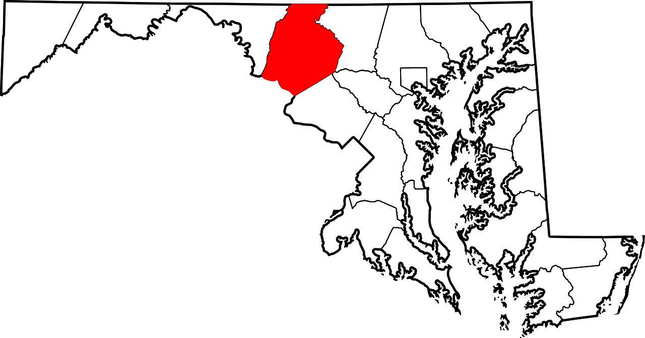
A locator map showing Frederick County in Maryland. David Benbennick made this map. For more information, see Commons:United States county locator maps. |
| Date | 12 February 2006 (original upload date) |
| Source | No machine-readable source provided. Own work assumed (based on copyright claims). |
| Author | No machine-readable author provided. David Benbennick assumed (based on copyright claims). |
Licensing
| I, the copyright holder of this work, release this work into the public domain. This applies worldwide. In some countries this may not be legally possible; if so: I grant anyone the right to use this work for any purpose, without any conditions, unless such conditions are required by law. |
File history
Click on a date/time to view the file as it appeared at that time.
| Date/Time | Thumbnail | Dimensions | User | Comment | |
|---|---|---|---|---|---|
| current | 12:48, 12 February 2006 | | 3,858 × 2,019 (139 KB) | David Benbennick | {{subst:User:Dbenbenn/clm|county=Frederick County|state=Maryland|type=county}} |
File usage
The following pages on the English Wikipedia use this file (pages on other projects are not listed):
- Adamstown, Maryland
- Ballenger Creek, Maryland
- Balmoral, Maryland
- Bartonsville, Maryland
- Braddock Heights, Maryland
- Broad Run, Maryland
- Brunswick, Maryland
- Buckeystown, Maryland
- Burkittsville, Maryland
- Catoctin Furnace, Maryland
- Ceresville, Maryland
- Charlesville, Maryland
- Clover Hill, Maryland
- Creagerstown, Maryland
- Discovery, Frederick County, Maryland
- Discovery-Spring Garden, Maryland
- Emmitsburg, Maryland
- Fairhaven, Frederick County, Maryland
- Feagaville, Maryland
- Foxville, Maryland
- Frederick, Maryland
- Frederick County, Maryland
- Frederick County Sheriff's Office
- Garfield, Maryland
- Graceham, Maryland
- Green Valley, Maryland
- Ijamsville, Maryland
- Jefferson, Maryland
- Johnsville, Maryland
- Knoxville, Maryland
- Ladiesburg, Maryland
- Lake Linganore, Maryland
- Lander, Maryland
- Lewistown, Maryland
- Libertytown, Maryland
- Linganore, Maryland
- Linganore-Bartonsville, Maryland
- List of counties in Maryland
- Middletown, Maryland
- Monocacy, Maryland
- Monrovia, Maryland
- Mount Airy, Maryland
- Myersville, Maryland
- National Register of Historic Places listings in Frederick County, Maryland
- New London, Maryland
- New Market, Maryland
- New Market West, Maryland
- New Midway, Maryland
- Petersville, Maryland
- Point of Rocks, Maryland
- Rocky Ridge, Maryland
- Rosemont, Maryland
- Sabillasville, Maryland
- Sherwood Forest, Frederick County, Maryland
- Spoolsville, Maryland
- Spring Ridge, Maryland
- Sunny Side, Maryland
- Thurmont, Maryland
- Tuscarora, Maryland
- Unionville, Frederick County, Maryland
- Urbana, Maryland
- Utica, Maryland
- Walkersville, Maryland
- Western Maryland
- Wolfsville, Maryland
- Woodsboro, Maryland
- User:AridCeption/sandbox
- User:E.Kassel/sandbox
- User:JodyMBrumage/Locust Valley, Maryland
- User:Nyttend/County templates/MD
- Template:Frederick County, Maryland
- Category:Populated places in Frederick County, Maryland
- Draft:Tallyn Ridge
Global file usage
The following other wikis use this file:
- Usage on ar.wikipedia.org
- مقاطعة فريدريك (ماريلاند)
- بوركيتسفيل (ماريلاند)
- إميتسبورغ (ماريلاند)
- ميدلتاون (ماريلاند)
- ماونت إيري (ماريلاند)
- ميرسفيل (ماريلاند)
- نيو ماركت (ماريلاند)
- ثورمونت (ماريلاند)
- ووكرسفيل (ماريلاند)
- وودسبورو (ماريلاند)
- فريدريك (ماريلاند)
- برونزويك (ماريلاند)
- روزمونت (ماريلاند)
- قائمة مقاطعات ماريلاند
- برادوك هايهتس (ماريلند)
- قالب:مقاطعة فريدريك (ماريلاند)
- Usage on bg.wikipedia.org
- Usage on bpy.wikipedia.org
- Usage on ca.wikipedia.org
- Usage on cdo.wikipedia.org
- Usage on ceb.wikipedia.org
- Usage on ce.wikipedia.org
- Usage on cy.wikipedia.org
- Usage on da.wikipedia.org
- Usage on de.wikipedia.org
- Usage on es.wikipedia.org
- Usage on et.wikipedia.org
- Usage on eu.wikipedia.org
- Usage on fa.wikipedia.org
View more global usage of this file.