
File:Map of Hawaii highlighting Honolulu County.svg

Size of this PNG preview of this SVG file: 800 × 520 pixels. Other resolutions: 320 × 208 pixels | 640 × 416 pixels | 1,024 × 666 pixels | 1,280 × 832 pixels | 2,560 × 1,664 pixels | 5,663 × 3,681 pixels.
Original file (SVG file, nominally 5,663 × 3,681 pixels, file size: 23 KB)
| This is a file from the Wikimedia Commons. Information from its description page there is shown below. Commons is a freely licensed media file repository. You can help. |
Summary
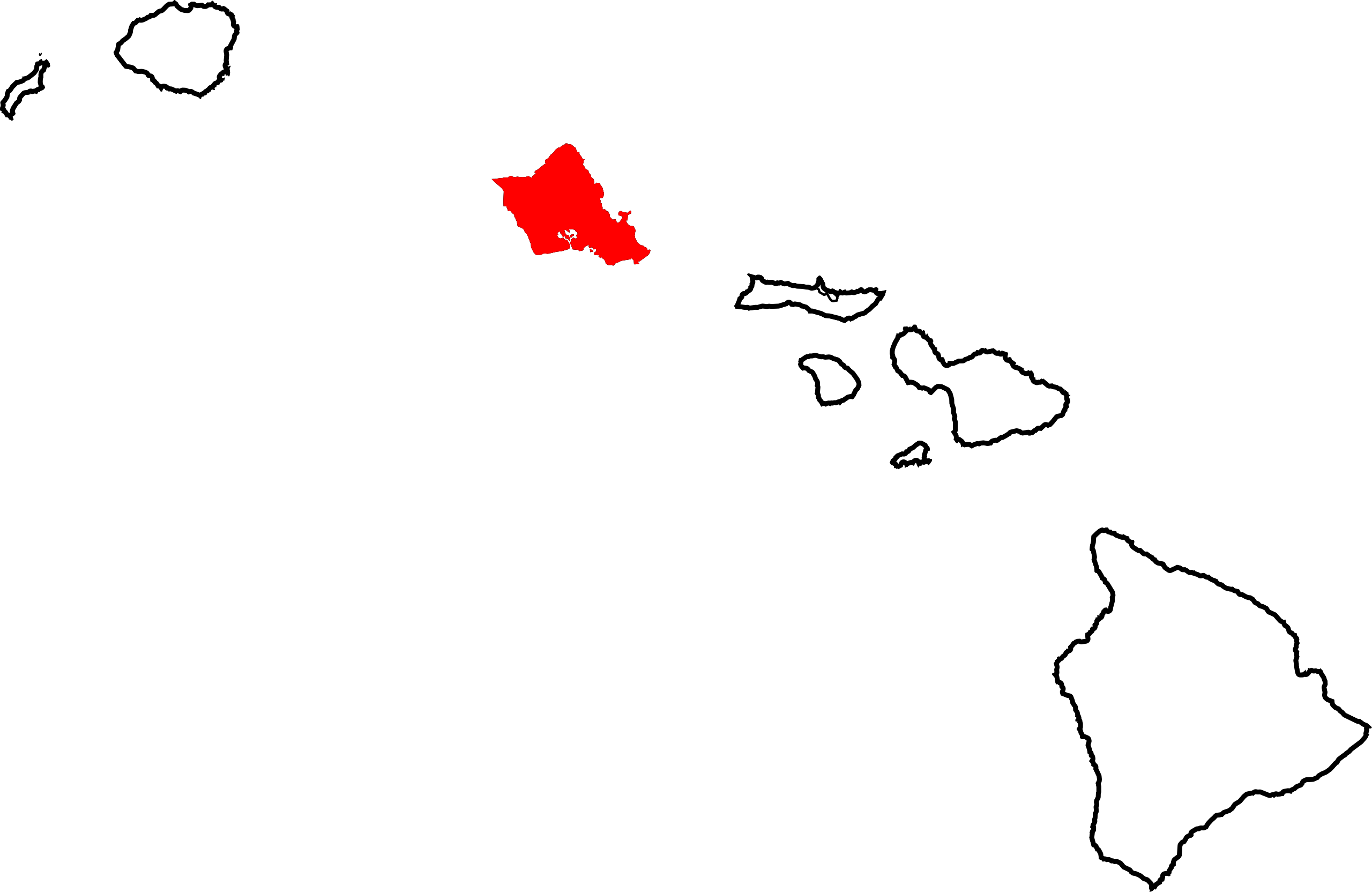
English: Locator map showing Honolulu County — which includes the island of Oʻahu and the Northwestern Hawaiian Islands, in the state of Hawaiʻi.
- Credits
David Benbennick made this map. For more information, see Commons:United States county locator maps.
| I, the copyright holder of this work, release this work into the public domain. This applies worldwide. In some countries this may not be legally possible; if so: I grant anyone the right to use this work for any purpose, without any conditions, unless such conditions are required by law. |
File history
Click on a date/time to view the file as it appeared at that time.
| Date/Time | Thumbnail | Dimensions | User | Comment | |
|---|---|---|---|---|---|
| current | 11:06, 12 February 2006 | | 5,663 × 3,681 (23 KB) | David Benbennick | {{subst:User:Dbenbenn/clm|county=Honolulu County|state=Hawaii}} |
File usage
The following pages on the English Wikipedia use this file (pages on other projects are not listed):
- Aiea, Hawaii
- Akupu, Hawaii
- Coconut Island (Oahu Island)
- East Honolulu, Hawaii
- East Kapolei, Hawaii
- Ford Island
- Halawa, Hawaii
- Haleʻiwa, Hawaii
- Hauʻula, Hawaii
- Hawaiʻi Kai, Hawaii
- Helemano, Hawaii
- Heʻeia, Hawaii
- Hickam Housing, Hawaii
- Honolulu
- Honolulu County, Hawaii
- Honolulu Hale
- Iroquois Point, Hawaii
- Kahaluʻu, Hawaii
- Kahuku, Hawaii
- Kailua, Hawaii
- Kaimuki, Hawaii
- Kakaako Pumping Station
- Kalaeloa, Hawaii
- Kaneohe, Hawaii
- Kapolei, Hawaii
- Kawela Bay, Hawaii
- Kaʻaʻawa, Hawaii
- King David Kalakaua Building
- Ko Olina Resort
- Koa Ridge
- Kunia Camp, Hawaii
- List of counties in Hawaii
- List of islands of Hawaii
- Lāʻie, Hawaii
- Makakilo, Hawaii
- Marine Corps Base Hawaii
- Maunawili, Hawaii
- Mililani, Hawaii
- Mililani Mauka, Hawaii
- Mokolea Rock
- Mokoliʻi
- Mokulēia, Hawaii
- Mākaha, Hawaii
- Mākaha Valley, Hawaii
- Mānana
- Māʻili, Hawaii
- Na Mokulua
- National Register of Historic Places listings in Oahu
- North Koolaupoko, Hawaii
- Nānākuli, Hawaii
- Oahu
- Ocean Pointe, Hawaii
- Palolo, Hawaii
- Pearl City, Hawaii
- Punaluu, Hawaii
- Pūpūkea, Hawaii
- Royal Kunia, Hawaii
- Schofield Barracks
- Thomas Square
- Turtle Bay, Oahu
- Village Park, Hawaii
- Wahiawa, Hawaii
- Waialae, Hawaii
- Waialua, Hawaii
- Waianae, Hawaii
- Waikele, Hawaii
- Waimalu, Hawaii
- Waimanalo Beach, Hawaii
- Waimānalo, Hawaii
- Waipahu, Hawaii
- Waipio, Hawaii
- Waipiʻo Acres, Hawaii
- West Loch Estate, Hawaii
- Wheeler Army Airfield
- Whitmore Village, Hawaii
- ʻEwa Beach, Hawaii
- ʻEwa Gentry, Hawaii
- ʻEwa Villages, Hawaii
- ʻĀhuimanu
- ʻĀina Haina
- User:AridCeption/sandbox
- User:CloCloOui1/sandbox
- User:Dkhora/Turtle Bay, Oahu
- User:Nyttend/County templates/HI
- Template:Honolulu County, Hawaii
- Category:Populated places in Honolulu County, Hawaii
Global file usage
The following other wikis use this file:
- Usage on af.wikipedia.org
- Usage on als.wikipedia.org
- Usage on ar.wikipedia.org
- Usage on azb.wikipedia.org
- Usage on bg.wikipedia.org
- Usage on bpy.wikipedia.org
- Usage on de.wikipedia.org
- Hawaii
- Liste der Countys in Hawaii
- City and County of Honolulu
- ʻAiea (Hawaii)
- Pūpūkea
- Kailua (Hawaii)
- Waiʻanae (Hawaii)
- Kahuku
- Kāneʻohe
- Waipahu
- Pearl City (Hawaii)
- Wahiawā
- Haleʻiwa
- Mililani
- Lāʻie
- Waimānalo
- Waialua
- Hauʻula
- Mākaha
- Mokulēʻia
- East Honolulu
- ʻEwa Gentry
- Makakilo
- ʻEwa Beach
- Hālawa
- Vorlage:Navigationsleiste Orte im Honolulu City and County
- Usage on es.wikipedia.org
- Usage on eu.wikipedia.org
- Usage on fa.wikipedia.org
View more global usage of this file.