
File:Map of Da Nang Area, Spring 1965.jpg

Size of this preview: 439 × 600 pixels. Other resolutions: 175 × 240 pixels | 351 × 480 pixels | 562 × 768 pixels | 749 × 1,024 pixels | 1,847 × 2,524 pixels.
Original file (1,847 × 2,524 pixels, file size: 621 KB, MIME type: image/jpeg)
| This is a file from the Wikimedia Commons. Information from its description page there is shown below. Commons is a freely licensed media file repository. You can help. |
Summary
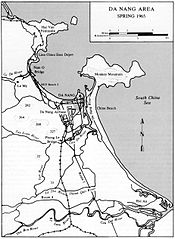
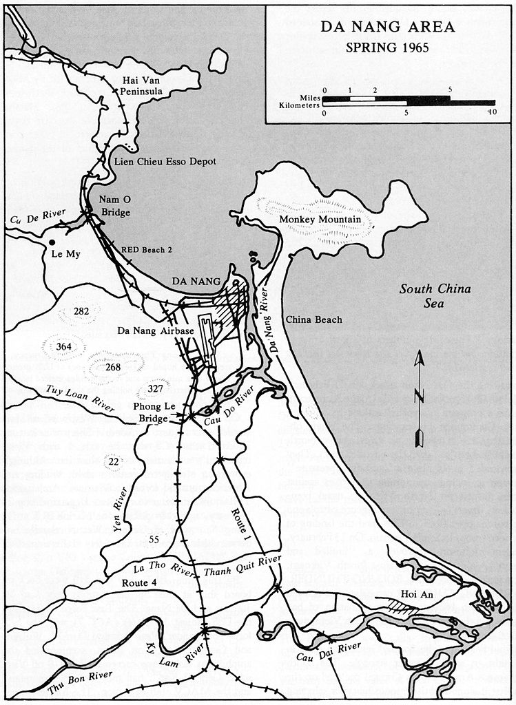
| Description | A map of the Da Nang Area, Spring 1965 from U.S. Marines in Vietnam: The Landing and the Buildup, 1965. |
| Date | |
| Source | http://ehistory.osu.edu/osu/books/1965/index.cfm?page=0&dir=0001 |
| Author | History and Museums Division, USMC |
Licensing
This file is a work of a United States Marine or employee, taken or made as part of that person's official duties. As a work of the U.S. federal government, it is in the public domain.
|
 |
File history
Click on a date/time to view the file as it appeared at that time.
| Date/Time | Thumbnail | Dimensions | User | Comment | |
|---|---|---|---|---|---|
| current | 18:54, 7 October 2010 | | 1,847 × 2,524 (621 KB) | BrokenSphere | higher res |
| 18:51, 7 October 2010 |  | 600 × 820 (93 KB) | BrokenSphere | == {{int:filedesc}} == {{Information |Description=A map of the Da Nang Area, Spring 1965 from ''U.S. Marines in Vietnam: The Landing and the Buildup, 1965''. |Source=http://ehistory.osu.edu/osu/books/1965/index.cfm?page=0008 |Date=1978 |Author=History and |
File usage
The following pages on the English Wikipedia use this file (pages on other projects are not listed):