
File:Map China 1-250,000 Tile NH 45-14 Tingri Dzong.jpg

Size of this preview: 789 × 600 pixels. Other resolutions: 316 × 240 pixels | 631 × 480 pixels | 1,010 × 768 pixels | 1,280 × 973 pixels | 2,560 × 1,947 pixels | 5,000 × 3,802 pixels.
Original file (5,000 × 3,802 pixels, file size: 4.75 MB, MIME type: image/jpeg)
| This is a file from the Wikimedia Commons. Information from its description page there is shown below. Commons is a freely licensed media file repository. You can help. |
Summary
| Description |
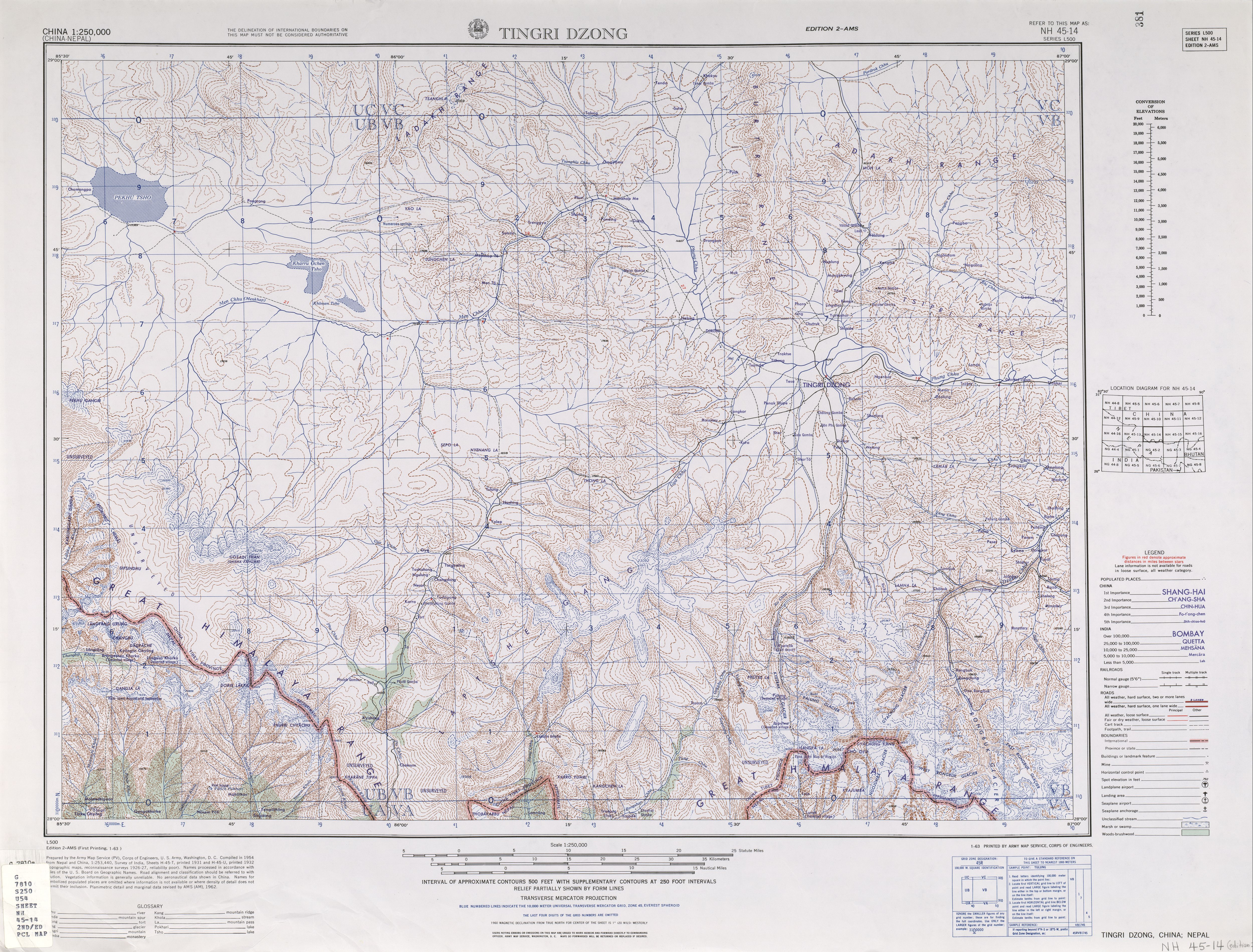
English: NH 45-14 Tingri Dzong. Tile of the Map India and Pakistan 1:250,000. Series L500, U.S. Army Map Service, 1955 |
| Date | |
| Source | Courtesy of the University of Texas Libraries, The University of Texas at Austin. (NH 45-14, Archived [1]) |
| Author | U.S. Army Maps Service, 1954 |
| Other versions |
|

.jpg)
.jpg)
-_Map_China_1-250,000_Tile_NH_45-14_Tingri_Dzong_(cropped).jpg)
-
 Index Map

Licensing
This image or file is a work of a U.S. Army Corps of Engineers soldier or employee, taken or made as part of that person's official duties. As a work of the U.S. federal government, the image is in the public domain.
|
File history
Click on a date/time to view the file as it appeared at that time.
| Date/Time | Thumbnail | Dimensions | User | Comment | |
|---|---|---|---|---|---|
| current | 08:49, 16 September 2014 | | 5,000 × 3,802 (4.75 MB) | Thincat | {{Information |Description ={{en|1=NH 45-14 Tingri Dzong. Tile of the Map India and Pakistan 1:250,000. Series L500, U.S. Army Map Service, 1955}} |Source =http://www.lib.utexas.edu/maps/ams/china/txu-oclc-10552568-nh45-14.jpg |Author... |
File usage
The following pages on the English Wikipedia use this file (pages on other projects are not listed):
Global file usage
The following other wikis use this file:
- Usage on en.wiktionary.org