
File:Malbork, budova úřadu powiatu.JPG
Size of this preview: 800 × 600 pixels. Other resolutions: 320 × 240 pixels | 640 × 480 pixels | 1,024 × 768 pixels | 1,280 × 960 pixels | 2,668 × 2,001 pixels.
Original file (2,668 × 2,001 pixels, file size: 1.36 MB, MIME type: image/jpeg)
| This is a file from the Wikimedia Commons. Information from its description page there is shown below. Commons is a freely licensed media file repository. You can help. |
Summary
| Description |
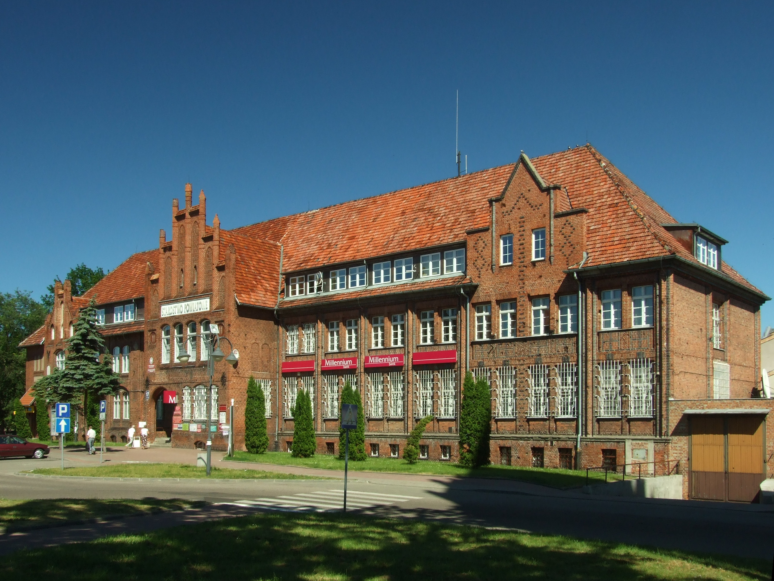
Polski: Malbork, Plac Słowiański 17 - Starostwo Powiatowe Čeština: Budova úřadu powiatu Malbork, Polsko English: Powiat building in Malbork, Poland |
||||||
| Date | |||||||
| Source | Own work | ||||||
| Author |
|
||||||

| Camera location | | View this and other nearby images on: OpenStreetMap |
|---|
This photo of Kashubia, Pomerelia and Żuławy Wiślane was taken during Wikiekspedycja 2010 set up by Wikimedia Polska Association. You can see all photographs in category Wikiekspedycja 2010.
|
The making of this document was supported by Wikimedia Polska.
|
Licensing
This file is licensed under the Creative Commons Attribution 3.0 Unported license.
- You are free:
- to share – to copy, distribute and transmit the work
- to remix – to adapt the work
- Under the following conditions:
- attribution – You must give appropriate credit, provide a link to the license, and indicate if changes were made. You may do so in any reasonable manner, but not in any way that suggests the licensor endorses you or your use.
File history
Click on a date/time to view the file as it appeared at that time.
| Date/Time | Thumbnail | Dimensions | User | Comment | |
|---|---|---|---|---|---|
| current | 16:20, 4 January 2021 | | 2,668 × 2,001 (1.36 MB) | Yarl | perspective fix |
| 08:34, 11 July 2010 |  | 2,848 × 2,136 (1.44 MB) | Aktron |
File usage
No pages on the English Wikipedia use this file (pages on other projects are not listed).
Global file usage
The following other wikis use this file:
- Usage on da.wikipedia.org
- Usage on dsb.wikipedia.org
- Usage on he.wikipedia.org
- Usage on pl.wikipedia.org
- Usage on pl.wikimedia.org
- Usage on sl.wikipedia.org
- Usage on vi.wikipedia.org