
File:Main Street Circleville.JPG
Size of this preview: 800 × 521 pixels. Other resolutions: 320 × 208 pixels | 640 × 417 pixels | 1,024 × 667 pixels | 1,280 × 834 pixels | 2,596 × 1,691 pixels.
Original file (2,596 × 1,691 pixels, file size: 2.25 MB, MIME type: image/jpeg)
| This is a file from the Wikimedia Commons. Information from its description page there is shown below. Commons is a freely licensed media file repository. You can help. |
|
This is an image of a place or building that is listed on the National Register of Historic Places in the United States of America. Its reference number is 78002171. |
| Description |
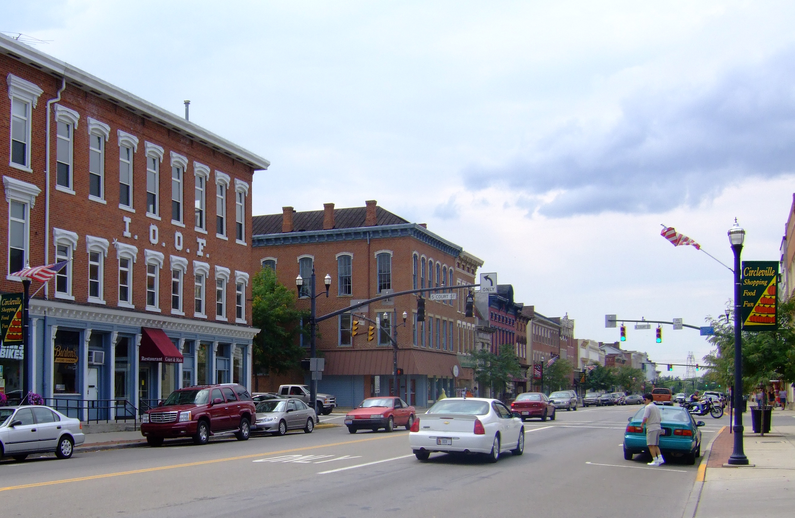
English: Historic Main Street in Circleville, Ohio |
| Date | |
| Source | Photo by Analogue Kid |
| Author | Analogue Kid (talk) |
| Object location | | View this and other nearby images on: OpenStreetMap |
|---|
Licensing
Analogue Kid at English Wikipedia, the copyright holder of this work, hereby publishes it under the following licenses:
This file is licensed under the Creative Commons Attribution-Share Alike 3.0 Unported license.
Attribution: Analogue Kid at English Wikipedia
- You are free:
- to share – to copy, distribute and transmit the work
- to remix – to adapt the work
- Under the following conditions:
- attribution – You must give appropriate credit, provide a link to the license, and indicate if changes were made. You may do so in any reasonable manner, but not in any way that suggests the licensor endorses you or your use.
- share alike – If you remix, transform, or build upon the material, you must distribute your contributions under the same or compatible license as the original.

|
Permission is granted to copy, distribute and/or modify this document under the terms of the GNU Free Documentation License, Version 1.2 or any later version published by the Free Software Foundation; with no Invariant Sections, no Front-Cover Texts, and no Back-Cover Texts. A copy of the license is included in the section entitled GNU Free Documentation License. |
You may select the license of your choice.
Original upload log
The original description page was here. All following user names refer to en.wikipedia.
- 2008-03-21 20:21 Analogue Kid 3488×2616× (2243087 bytes) {{Information |Description=Historic Main Street in Circleville |Source=self-made |Date=2007-08-25 |Location=Circleville, Ohio, USA |Author=~~~ |other_versions= }}
File history
Click on a date/time to view the file as it appeared at that time.
| Date/Time | Thumbnail | Dimensions | User | Comment | |
|---|---|---|---|---|---|
| current | 21:24, 26 April 2018 | | 2,596 × 1,691 (2.25 MB) | Ɱ | show more of the buildings etc., less road and sky for infoboxes |
| 09:16, 21 March 2009 |  | 3,488 × 2,616 (2.14 MB) | Minderbinder | {{Information |Description={{en|Historic Main Street in Circleville}} |Source=Transferred from [http://en.wikipedia.org en.wikipedia]<br/> (Original text : ''self-made'') |Date=2008-03-21 (original upload date)<br/> (Original text : ''2007-08-25'') |Autho |
File usage
The following pages on the English Wikipedia use this file (pages on other projects are not listed):
Global file usage
The following other wikis use this file:
- Usage on ar.wikipedia.org
- Usage on arz.wikipedia.org
- Usage on azb.wikipedia.org
- Usage on ca.wikipedia.org
- Usage on ceb.wikipedia.org
- Usage on ce.wikipedia.org
- Usage on cy.wikipedia.org
- Usage on en.wikivoyage.org
- Usage on es.wikipedia.org
- Usage on eu.wikipedia.org
- Usage on fa.wikipedia.org
- Usage on fr.wikipedia.org
- Usage on ht.wikipedia.org
- Usage on hu.wikipedia.org
- Usage on it.wikipedia.org
- Usage on it.wikivoyage.org
- Usage on ky.wikipedia.org
- Usage on lld.wikipedia.org
- Usage on nl.wikipedia.org
- Usage on pl.wikipedia.org
- Usage on pt.wikipedia.org
- Usage on sh.wikipedia.org
- Usage on sr.wikipedia.org
- Usage on sv.wikipedia.org
- Usage on tr.wikipedia.org
- Usage on tt.wikipedia.org
- Usage on uk.wikipedia.org
- Usage on uz.wikipedia.org
- Usage on vi.wikipedia.org
- Usage on vo.wikipedia.org
- Usage on www.wikidata.org
- Usage on zh-min-nan.wikipedia.org