
File:London Commuter Belt map no TTW.svg

Size of this PNG preview of this SVG file: 800 × 591 pixels. Other resolutions: 320 × 236 pixels | 640 × 473 pixels | 1,024 × 757 pixels | 1,280 × 946 pixels | 2,560 × 1,892 pixels | 1,000 × 739 pixels.
Original file (SVG file, nominally 1,000 × 739 pixels, file size: 2.94 MB)
| This is a file from the Wikimedia Commons. Information from its description page there is shown below. Commons is a freely licensed media file repository. You can help. |
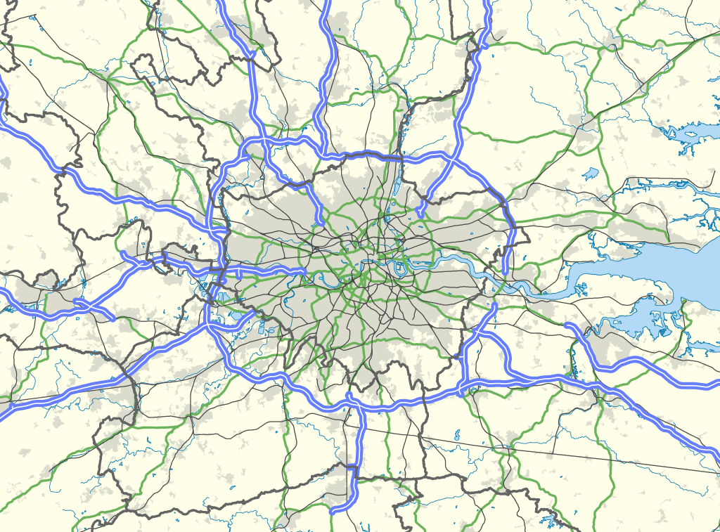
| Description | Map of the London area, with the London Travel to Work Area highlighted in red. |
| Date | |
| Source |
Office of National Statistics Geography
|
| Author | Nilfanion, created using Ordnance Survey data |
| Permission (Reusing this file) |
This file is licensed under the Creative Commons Attribution-Share Alike 3.0 Unported license. Attribution: Contains Ordnance Survey data © Crown copyright and database right
|
File history
Click on a date/time to view the file as it appeared at that time.
| Date/Time | Thumbnail | Dimensions | User | Comment | |
|---|---|---|---|---|---|
| current | 22:00, 31 March 2013 | | 1,000 × 739 (2.94 MB) | Remdabest | User created page with UploadWizard |
File usage
The following pages on the English Wikipedia use this file (pages on other projects are not listed):
- Aylesbury
- Borough of Slough
- Chelmsford
- Crawley
- Dorking
- Farnborough/Aldershot built-up area
- Greater London
- Greater London Built-up Area
- Hertfordshire
- High Wycombe
- Leatherhead
- London
- London metropolitan area
- Luton
- Luton/Dunstable urban area
- Medway
- Reading, Berkshire
- Reading built-up area
- Sevenoaks
- Slough
- Southend-on-Sea
- Template:London commuter belt
- Category:Greater London
Global file usage
The following other wikis use this file:
- Usage on fr.wikipedia.org
- Usage on ko.wikipedia.org
- Usage on no.wikipedia.org
- Usage on pt.wikipedia.org
- Usage on sv.wikipedia.org
- Usage on ur.wikipedia.org
- Usage on zh.wikipedia.org