
File:Location Australasia cylindrical.png
Size of this preview: 663 × 600 pixels. Other resolutions: 265 × 240 pixels | 530 × 480 pixels | 849 × 768 pixels | 1,132 × 1,024 pixels | 1,704 × 1,542 pixels.
Original file (1,704 × 1,542 pixels, file size: 187 KB, MIME type: image/png)
| This is a file from the Wikimedia Commons. Information from its description page there is shown below. Commons is a freely licensed media file repository. You can help. |
Summary
| Description |
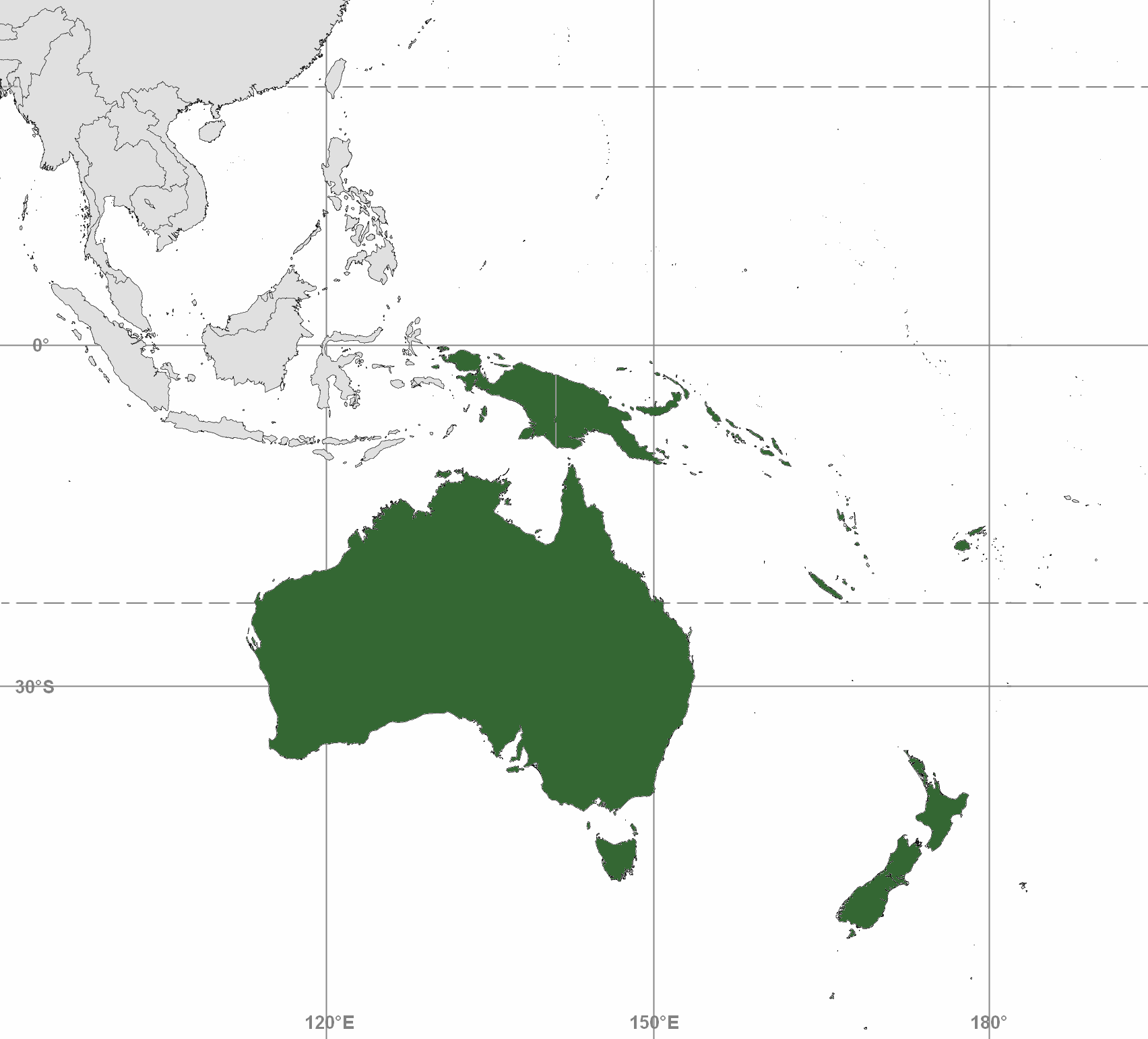
English: Map depicting Australasia; differs from maps for Commonwealth of Australia and Australian continent
Map includes Australia (including Tasmania and Torres Strait Islands); New Zealand; and Melanesia: New Guinea, eastern Aru Islands (as delineated by Lydekker Line), and mainland provinces of Papua New Guinea, Fiji, New Caledonia, Solomon Islands, and Vanuatu. Map adapted from PDF world map at CIA World Fact Book |
| Date | |
| Source |
(a) Blank map contour boundaries: This file was derived from: Pacific-centered mercator bw.svg |
| Author |
(a) Blank map: Emok |
Licensing
This file is licensed under the Creative Commons Attribution-Share Alike 3.0 Unported license.
- You are free:
- to share – to copy, distribute and transmit the work
- to remix – to adapt the work
- Under the following conditions:
- attribution – You must give appropriate credit, provide a link to the license, and indicate if changes were made. You may do so in any reasonable manner, but not in any way that suggests the licensor endorses you or your use.
- share alike – If you remix, transform, or build upon the material, you must distribute your contributions under the same or compatible license as the original.
File history
Click on a date/time to view the file as it appeared at that time.
| Date/Time | Thumbnail | Dimensions | User | Comment | |
|---|---|---|---|---|---|
| current | 15:43, 2 August 2019 | | 1,704 × 1,542 (187 KB) | Ham105 | fewer gridlines |
| 10:14, 2 August 2019 |  | 1,704 × 1,542 (199 KB) | Ham105 | add lat/long, rm blue bg | |
| 09:20, 2 August 2019 |  | 1,704 × 1,568 (174 KB) | Ham105 | Crop | |
| 09:10, 2 August 2019 |  | 2,007 × 1,889 (222 KB) | Ham105 | User created page with UploadWizard |
File usage
The following pages on the English Wikipedia use this file (pages on other projects are not listed):
Global file usage
The following other wikis use this file:
- Usage on bg.wikipedia.org
- Usage on el.wiktionary.org
- Usage on hi.wikipedia.org
- Usage on ja.wikipedia.org
- Usage on ko.wikipedia.org
- Usage on pl.wikipedia.org
- Usage on si.wikipedia.org
- Usage on th.wikipedia.org
- Usage on vls.wikipedia.org
- Usage on zh-min-nan.wikipedia.org