
File:LocationBahrain.svg

Size of this PNG preview of this SVG file: 800 × 400 pixels. Other resolutions: 320 × 160 pixels | 640 × 320 pixels | 1,024 × 512 pixels | 1,280 × 640 pixels | 2,560 × 1,280 pixels | 1,000 × 500 pixels.
Original file (SVG file, nominally 1,000 × 500 pixels, file size: 2.29 MB)
| This is a file from the Wikimedia Commons. Information from its description page there is shown below. Commons is a freely licensed media file repository. You can help. |
Summary
| Description |
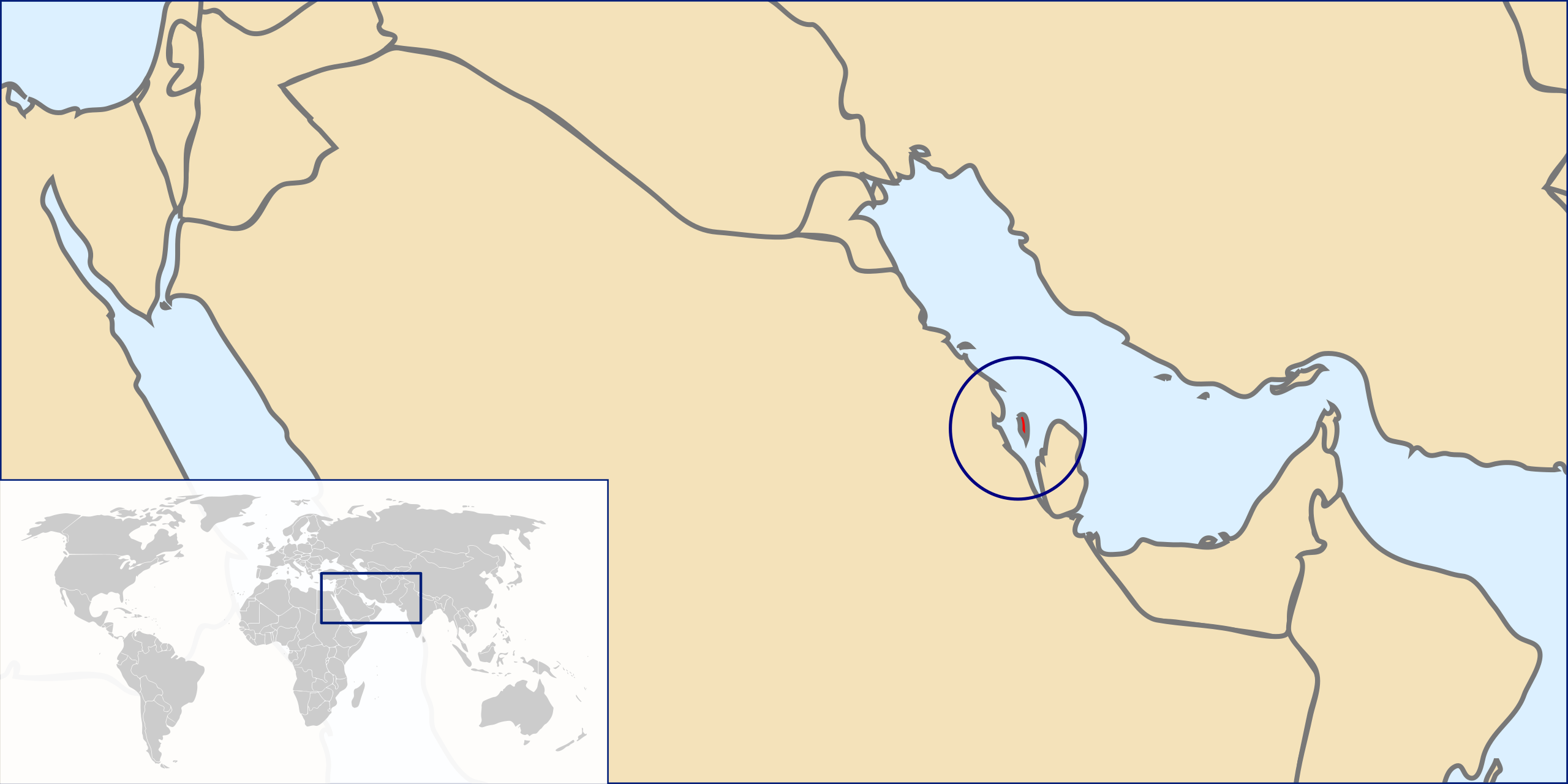
English: Maps shows location of Bahrain in Persian Gulf and in the World
Čeština: Mapa ukazuje pozici Bahrajnu v Perském zálivu a na planetě Zemi |
| Date | |
| Source | Original Image:LocationAfghanistan.svg |
| Author | User:Đonny |
| Other versions | Image:Map of Bahrain.svg |
Licensing
This file is licensed under the Creative Commons Attribution-Share Alike 3.0 Unported license.
- You are free:
- to share – to copy, distribute and transmit the work
- to remix – to adapt the work
- Under the following conditions:
- attribution – You must give appropriate credit, provide a link to the license, and indicate if changes were made. You may do so in any reasonable manner, but not in any way that suggests the licensor endorses you or your use.
- share alike – If you remix, transform, or build upon the material, you must distribute your contributions under the same or compatible license as the original.
File history
Click on a date/time to view the file as it appeared at that time.
| Date/Time | Thumbnail | Dimensions | User | Comment | |
|---|---|---|---|---|---|
| current | 14:58, 12 December 2010 | | 1,000 × 500 (2.29 MB) | Đonny | {{Information |Description={{en|1=Maps shows location of Bahrain in Persian Gulf and in the World}} {{cs|1=Mapa ukazuje pozici Bahrajnu v Perském zálivu a na planetě Zemi}} |Source=Original Image:LocationAfghanistan.svg |Author=User:Đonny |
File usage
The following pages on the English Wikipedia use this file (pages on other projects are not listed):
Global file usage
The following other wikis use this file:
- Usage on ar.wikipedia.org
- Usage on ar.wikinews.org
- Usage on arz.wikipedia.org
- Usage on ban.wikipedia.org
- Usage on bn.wikipedia.org
- Usage on ca.wikinews.org
- Usage on de.wikipedia.org
- Usage on eo.wikipedia.org
- Usage on es.wikipedia.org
- Usage on es.wikinews.org
- Usage on fa.wikipedia.org
- Usage on fr.wikipedia.org
- Usage on fr.wikinews.org
- Usage on gor.wikipedia.org
- Usage on hr.wikipedia.org
- Usage on ia.wikipedia.org
- Usage on id.wikipedia.org
- Usage on incubator.wikimedia.org
- Usage on ja.wikipedia.org
- Usage on ms.wikipedia.org
- Usage on nl.wikipedia.org
- Usage on nn.wikipedia.org
- Usage on pt.wiktionary.org
- Usage on se.wikipedia.org
- Usage on shi.wikipedia.org
- Usage on sr.wikipedia.org
- Usage on ta.wikinews.org
- Usage on tr.wikipedia.org
- Usage on uk.wikipedia.org
- Usage on vep.wikipedia.org
View more global usage of this file.