
File:La Réunion department location map.svg

Size of this PNG preview of this SVG file: 645 × 600 pixels. Other resolutions: 258 × 240 pixels | 516 × 480 pixels | 826 × 768 pixels | 1,102 × 1,024 pixels | 2,203 × 2,048 pixels | 1,037 × 964 pixels.
Original file (SVG file, nominally 1,037 × 964 pixels, file size: 113 KB)
| This is a file from the Wikimedia Commons. Information from its description page there is shown below. Commons is a freely licensed media file repository. You can help. |
Summary
| Camera location | | View this and other nearby images on: OpenStreetMap |
|---|
| Description |
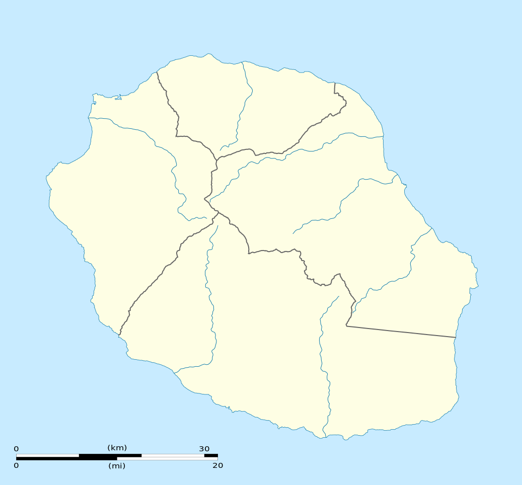
English: Blank physical map of the region and department of Réunion, France, for geo-location purpose.
Français : Carte physique vierge de la région et département de La Réunion, France, destinée à la géolocalisation. Scale: 1:300,000 (precision: 75 m)
Geographic limits of the map:
|
||
| Date | |||
| Source |
Own work
|
||
| Author | Eric Gaba (Sting - fr:Sting) | ||
| Permission (Reusing this file) |
|
||
| Other versions |
|

Licensing
I, the copyright holder of this work, hereby publish it under the following licenses:
This file is licensed under the Creative Commons Attribution-Share Alike 3.0 Unported license.
- You are free:
- to share – to copy, distribute and transmit the work
- to remix – to adapt the work
- Under the following conditions:
- attribution – You must give appropriate credit, provide a link to the license, and indicate if changes were made. You may do so in any reasonable manner, but not in any way that suggests the licensor endorses you or your use.
- share alike – If you remix, transform, or build upon the material, you must distribute your contributions under the same or compatible license as the original.

|
Permission is granted to copy, distribute and/or modify this document under the terms of the GNU Free Documentation License, Version 1.2 or any later version published by the Free Software Foundation; with no Invariant Sections, no Front-Cover Texts, and no Back-Cover Texts. A copy of the license is included in the section entitled GNU Free Documentation License. |
You may select the license of your choice.
File history
Click on a date/time to view the file as it appeared at that time.
| Date/Time | Thumbnail | Dimensions | User | Comment | |
|---|---|---|---|---|---|
| current | 15:09, 23 March 2009 | | 1,037 × 964 (113 KB) | Sting | == Summary == {{Location|21|07|30|S|55|31|30|E|scale:500000}} <br/> {{Information |Description={{en|Blank administrative map of the department of Réunion, France, for geo-location purpose.}} { |
File usage
The following pages on the English Wikipedia use this file (pages on other projects are not listed):
- 2024 Summer Olympics torch relay
- ENERPOS
- Grand Place, Réunion
- La Grande Chaloupe
- La Mare, Reunion
- Manapany
- Mussard cave
- Ravine d'Ango
- Roland Garros Airport
- Réunion
- Réunion National Park
- Saint-Pierre Pierrefonds Airport
- Vincendo
- User:Gfievet/sandbox
- Template:Réunion location map
- Module:Location map/data/Réunion
- Module:Location map/data/Réunion/doc
Global file usage
The following other wikis use this file:
- Usage on af.wikipedia.org
- Usage on als.wikipedia.org
- Usage on an.wikipedia.org
- Usage on ar.wikipedia.org
- Usage on az.wikipedia.org
- Usage on be-tarask.wikipedia.org
- Usage on be.wikipedia.org
- Usage on bg.wikipedia.org
- Usage on bs.wikipedia.org
- Usage on ceb.wikipedia.org
- Le Port
- Plantilya:Location map Réunion
- Table Point
- Bayonne (pagklaro)
- Petite Ile
- Possession
- Découverte
- Saint-André (pagklaro)
- Saint-Pierre (pagklaro)
- Eden
- Tapal
- Saint Paul Bay
- Maduran
- Plate
- L'Ilet
- Cap Noir
- Pointe Rouge
- Saint-Leu
- L'Eperon
- Bory
- Bras du Milieu
- Gros Morne
- Lac des Merles
- La Glacière
- La Petite Ile
- Le Grand Bras
- L'Éperon
- Le Petit Bras
- Les Bras
- Les Cascades
- L'Îlet
- Petite Île
View more global usage of this file.