
File:L'Haye-du-Puits en haut à droite du cliché Havre de Saint-germain-sur-Ay.jpg
Size of this preview: 791 × 599 pixels. Other resolutions: 317 × 240 pixels | 634 × 480 pixels | 1,014 × 768 pixels | 1,280 × 970 pixels | 2,560 × 1,940 pixels | 3,273 × 2,480 pixels.
Original file (3,273 × 2,480 pixels, file size: 1.74 MB, MIME type: image/jpeg)
| This is a file from the Wikimedia Commons. Information from its description page there is shown below. Commons is a freely licensed media file repository. You can help. |
Summary
| Description |
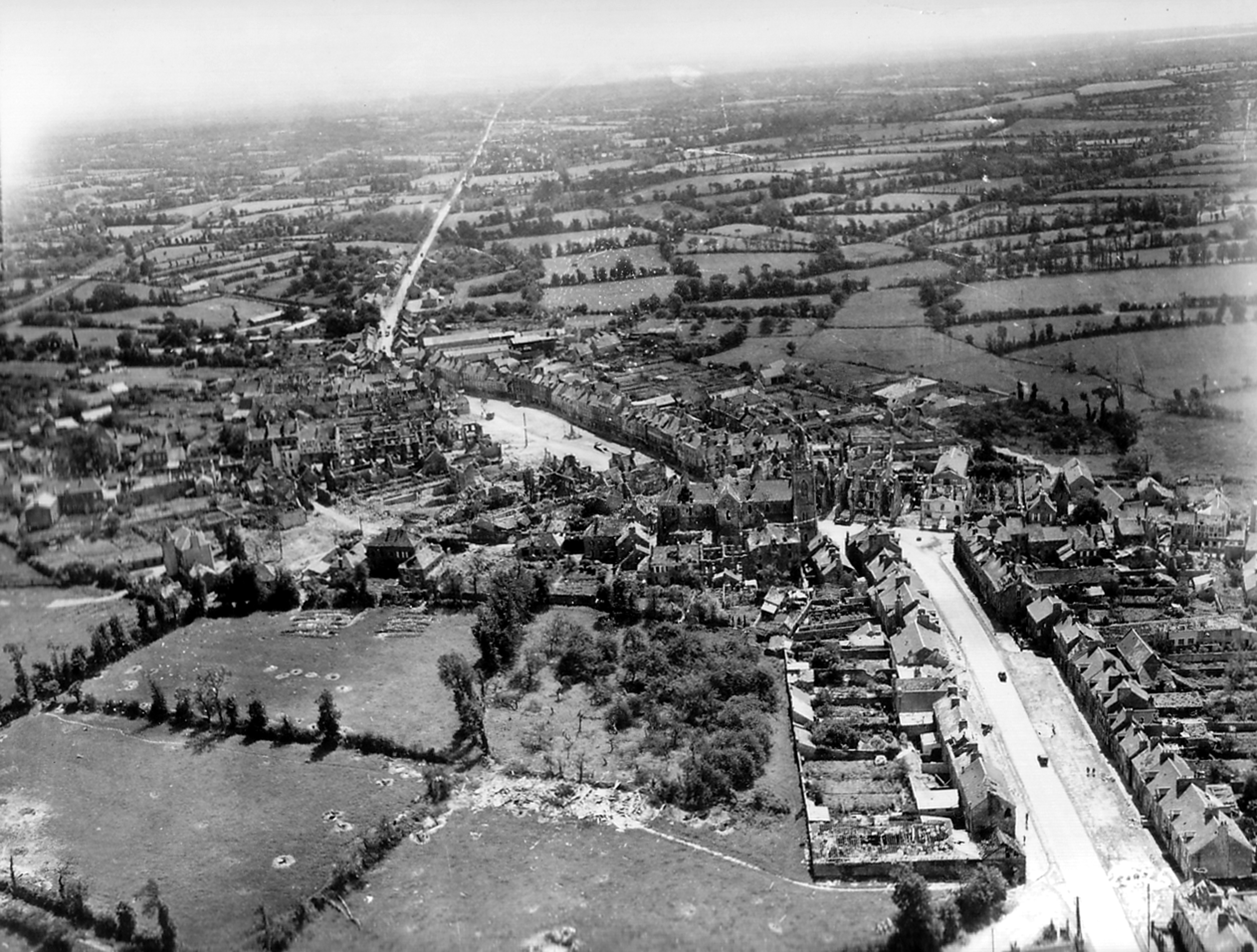
Français : Vue aérienne de la zone du bocage autour des ruines de l'Haye-du-Puits. On peut distinguer en haut à droite du cliché le Havre de Saint-Germain-sur-Ay. De part et d'autres de la départemental, le bocage propre à la guerre de Haies de 1944. On distingue en zoomant les zones de combats (halo de fumée). Les Bloody Hill se trouvent également en haut à droite du cliché. |
| Date | |
| Source | http://www.archivesnormandie39-45.org/specificPhoto.php?ref=p012260 |
| Author | libre de droit mais obligation de mentionner l'auteur suivant : Conseil Régional de Basse-Normandie / National Archives USA voir les conditions d'utilisation sur http://www.archivesnormandie39-45.org/conditions.html |
Licensing
This file is a work of a U.S. Army soldier or employee, taken or made as part of that person's official duties. As a work of the U.S. federal government, it is in the public domain in the United States.
|
 |
File history
Click on a date/time to view the file as it appeared at that time.
| Date/Time | Thumbnail | Dimensions | User | Comment | |
|---|---|---|---|---|---|
| current | 16:30, 22 January 2012 | | 3,273 × 2,480 (1.74 MB) | Saint Germinais |
File usage
The following pages on the English Wikipedia use this file (pages on other projects are not listed):
Global file usage
The following other wikis use this file: