
File:Karte Wagrien.jpg
Size of this preview: 727 × 599 pixels. Other resolutions: 291 × 240 pixels | 582 × 480 pixels | 932 × 768 pixels | 1,242 × 1,024 pixels | 1,412 × 1,164 pixels.
Original file (1,412 × 1,164 pixels, file size: 845 KB, MIME type: image/jpeg)
| This is a file from the Wikimedia Commons. Information from its description page there is shown below. Commons is a freely licensed media file repository. You can help. |
Summary
| Description |
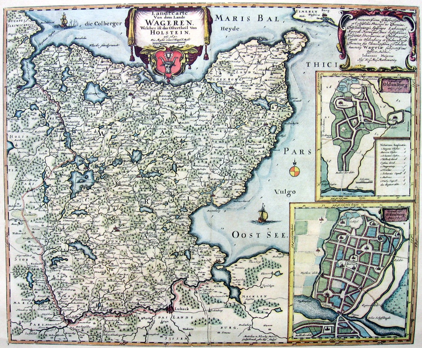
Deutsch: historische Karte von Wagrien English: Historic map of Wagrien, today located in northern Germany |
||||||||||||||||||||||||||
| Date | between 1682 and 1688 | ||||||||||||||||||||||||||
| Source | Atlas Maior von Joan Blaeu, Amsterdam 1682-1688 | ||||||||||||||||||||||||||
| Author |
|
||||||||||||||||||||||||||
.jpg)
Licensing
|
This work is in the public domain in its country of origin and other countries and areas where the copyright term is the author's life plus 100 years or fewer. This work is in the public domain in the United States because it was published (or registered with the U.S. Copyright Office) before January 1, 1929. | |
| This file has been identified as being free of known restrictions under copyright law, including all related and neighboring rights. | |
Original upload log
The original description page was here. All following user names refer to de.wikipedia.
- 2008-03-30 23:35 Niemann, Dr. Dr. Dr. 1412×1164× (2025051 bytes) {{Information |Beschreibung = historische Karte von Wagrien |Quelle = Atlas Maior von Joan Blaeu, Amsterdam 1682-1688 |Urheber = Joan Blaeu (s. Quelle) |Datum = 1682-1688 |Genehmigung = gemeinfrei, da Urheberrecht erloschen |Andere Versionen = |Anmerkung
File history
Click on a date/time to view the file as it appeared at that time.
| Date/Time | Thumbnail | Dimensions | User | Comment | |
|---|---|---|---|---|---|
| current | 08:30, 1 August 2018 | | 1,412 × 1,164 (845 KB) | 1970gemini | geautobalanced |
| 12:58, 25 July 2009 |  | 1,412 × 1,164 (1.93 MB) | Bermicourt | {{Information |Description={{de|historische Karte von Wagrien}}{{en|Historic map of Wagrien, today located in northern Germany}} |Source=Transferred from [http://de.wikipedia.org de.wikipedia]<br/> (Original text : ''Atlas Maior von Joan Blaeu, Amsterdam |
File usage
The following pages on the English Wikipedia use this file (pages on other projects are not listed):
Global file usage
The following other wikis use this file:
- Usage on az.wikipedia.org
- Usage on be-tarask.wikipedia.org
- Usage on be.wikipedia.org
- Usage on ca.wikipedia.org
- Usage on da.wikipedia.org
- Usage on de.wikipedia.org
- Usage on de.wikivoyage.org
- Usage on it.wikipedia.org
- Usage on mk.wikipedia.org
- Usage on nl.wikipedia.org
- Usage on pl.wikipedia.org
- Usage on pl.wiktionary.org
- Usage on pt.wikipedia.org
- Usage on sl.wikipedia.org
- Usage on uk.wikipedia.org