
File:Karibik Guadeloupe Position.png
Size of this preview: 800 × 497 pixels. Other resolutions: 320 × 199 pixels | 640 × 398 pixels | 1,024 × 636 pixels.
Original file (1,024 × 636 pixels, file size: 24 KB, MIME type: image/png)
| This is a file from the Wikimedia Commons. Information from its description page there is shown below. Commons is a freely licensed media file repository. You can help. |
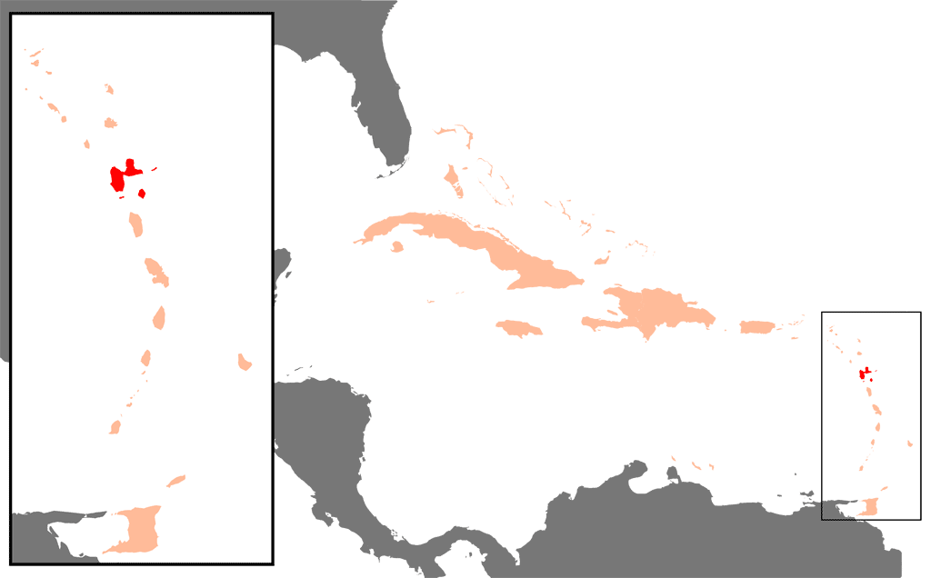
| Description | Position of Guadeloupe in the Caribbean | ||
| Date | |||
| Source | own graphics | ||
| Author | Raymond de - Raimond Spekking | ||
| Other versions |
|

I, the copyright holder of this work, hereby publish it under the following license:

|
Permission is granted to copy, distribute and/or modify this document under the terms of the GNU Free Documentation License, Version 1.2 or any later version published by the Free Software Foundation; with no Invariant Sections, no Front-Cover Texts, and no Back-Cover Texts. A copy of the license is included in the section entitled GNU Free Documentation License. |
| This file is licensed under the Creative Commons Attribution-Share Alike 3.0 Unported license. | ||
| ||
| This licensing tag was added to this file as part of the GFDL licensing update. |
File history
Click on a date/time to view the file as it appeared at that time.
| Date/Time | Thumbnail | Dimensions | User | Comment | |
|---|---|---|---|---|---|
| current | 07:02, 31 July 2007 | | 1,024 × 636 (24 KB) | Hoshie | Shaded St.-Barth and St.-Martin in peach, they are no longer part of Guadeloupe. Under same lic. as original. |
| 12:28, 8 June 2005 |  | 1,024 × 636 (17 KB) | Raymond | {{Information| |Description = Position of Guadeloupe in the Carribbean |Source = own graphics |Date = 24. Feb. 2004 |Author = Raymond de - Raimond Spekking |Permission = |other_versions = }} {{GFDL-self}} |
File usage
The following pages on the English Wikipedia use this file (pages on other projects are not listed):
Global file usage
The following other wikis use this file:
- Usage on als.wikipedia.org
- Usage on azb.wikipedia.org
- Usage on da.wikipedia.org
- Usage on de.wikipedia.org
- Usage on de.wikinews.org
- Usage on de.wiktionary.org
- Usage on eo.wikipedia.org
- Usage on fo.wikipedia.org
- Usage on fr.wikipedia.org
- Usage on hr.wikipedia.org
- Usage on ht.wikipedia.org
- Usage on is.wikipedia.org
- Usage on ja.wikipedia.org
- Usage on lb.wikipedia.org
- Usage on no.wikipedia.org
- Usage on pl.wikipedia.org
- Usage on pl.wiktionary.org
- Usage on pnb.wikipedia.org
- Usage on sh.wikipedia.org
- Usage on sk.wikipedia.org