
File:Juniper Green Parish Church - geograph.org.uk - 936189.jpg
No higher resolution available.
Juniper_Green_Parish_Church_-_geograph.org.uk_-_936189.jpg (640 × 480 pixels, file size: 81 KB, MIME type: image/jpeg)
| This is a file from the Wikimedia Commons. Information from its description page there is shown below. Commons is a freely licensed media file repository. You can help. |
Summary
| Description |
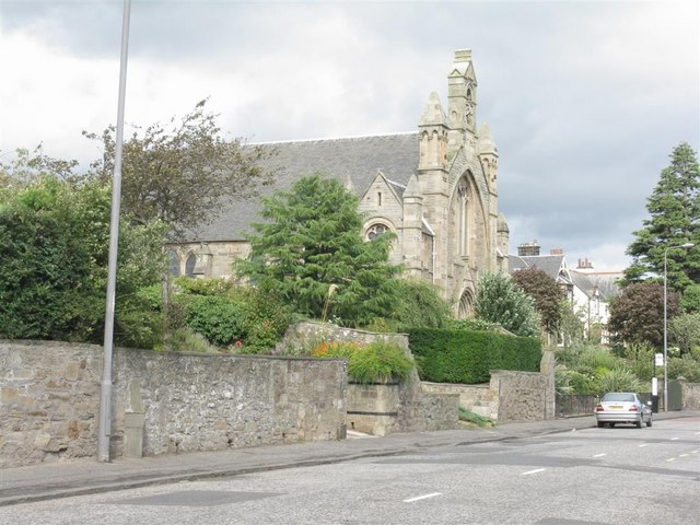
English: Juniper Green Parish Church Relatively recent - before the middle of the 19C Juniper Green had no church of its own, and folks had to walk to Colinton, about 1.5 km along the Water of Leith. |
| Date | |
| Source | From geograph.org.uk |
| Author | M J Richardson |
| Attribution (required by the license) | M J Richardson / Juniper Green Parish Church / |
| Camera location | | View this and other nearby images on: OpenStreetMap |
|---|
_heading:45.00&language=en)
| Object location | | View this and other nearby images on: OpenStreetMap |
|---|
_heading:45.00&language=en)
Licensing

|
This image was taken from the Geograph project collection. See this photograph's page on the Geograph website for the photographer's contact details. The copyright on this image is owned by M J Richardson and is licensed for reuse under the Creative Commons Attribution-ShareAlike 2.0 license.
|
This file is licensed under the Creative Commons Attribution-Share Alike 2.0 Generic license.
Attribution: M J Richardson
- You are free:
- to share – to copy, distribute and transmit the work
- to remix – to adapt the work
- Under the following conditions:
- attribution – You must give appropriate credit, provide a link to the license, and indicate if changes were made. You may do so in any reasonable manner, but not in any way that suggests the licensor endorses you or your use.
- share alike – If you remix, transform, or build upon the material, you must distribute your contributions under the same or compatible license as the original.
File history
Click on a date/time to view the file as it appeared at that time.
| Date/Time | Thumbnail | Dimensions | User | Comment | |
|---|---|---|---|---|---|
| current | 16:14, 19 August 2019 | | 640 × 480 (81 KB) | Bjh21 | Reverted to version as of 06:47, 22 February 2011 (UTC): Not a minor, uncontroversial improvement. See COM:OVERWRITE. |
| 15:55, 19 August 2019 |  | 2,706 × 2,706 (1.3 MB) | Gpwitteveen | Image file from 8/2019 shows frontal view of parish church instead of previous file photo from oblique angle. | |
| 06:47, 22 February 2011 |  | 640 × 480 (81 KB) | GeographBot | == {{int:filedesc}} == {{Information |description={{en|1=Juniper Green Parish Church Relatively recent - before the middle of the 19C Juniper Green had no church of its own, and folks had to walk to Colinton, about 1.5 km along the Water of Leith.}} |date |
File usage
The following pages on the English Wikipedia use this file (pages on other projects are not listed):
Global file usage
The following other wikis use this file:
- Usage on de.wikipedia.org
- Usage on eu.wikipedia.org
- Usage on www.wikidata.org