
File:Junction of Dixie and Lincoln Highways.jpg

Size of this preview: 800 × 450 pixels. Other resolutions: 320 × 180 pixels | 640 × 360 pixels | 1,024 × 576 pixels | 1,280 × 720 pixels | 2,816 × 1,584 pixels.
Original file (2,816 × 1,584 pixels, file size: 1.78 MB, MIME type: image/jpeg)
| This is a file from the Wikimedia Commons. Information from its description page there is shown below. Commons is a freely licensed media file repository. You can help. |
| Camera location | | View this and other nearby images on: OpenStreetMap |
|---|
| Description |
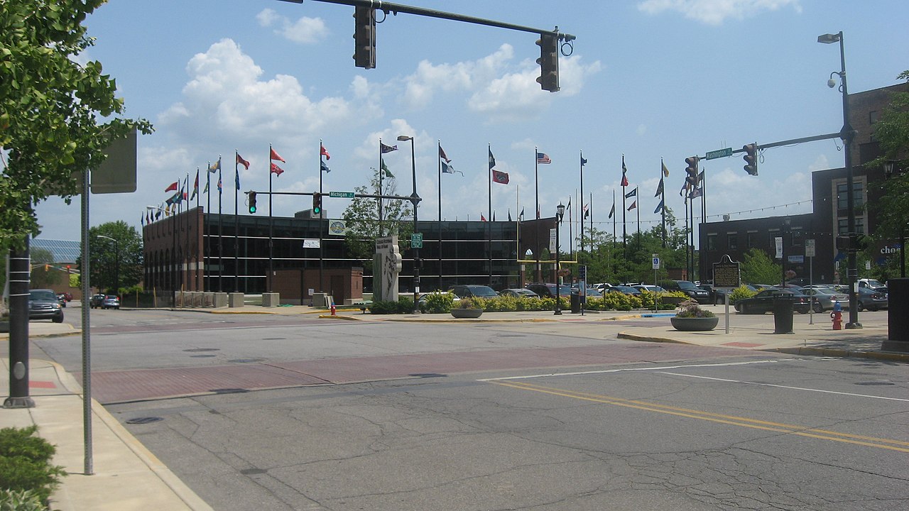
English: View from the northwest of the junction of Michigan and Washington Streets in downtown South Bend, Indiana, United States. This intersection was once the meeting place for the north-south Dixie Highway and the east-west Lincoln Highway. |
||
| Date | Taken on 6 July 2012 | ||
| Source | Own work | ||
| Author | Nyttend | ||
| Permission (Reusing this file) |
|
File history
Click on a date/time to view the file as it appeared at that time.
| Date/Time | Thumbnail | Dimensions | User | Comment | |
|---|---|---|---|---|---|
| current | 22:20, 14 July 2012 | | 2,816 × 1,584 (1.78 MB) | Nyttend | {{Location|41|35|5|N|85|49|58|W}} {{Information |Description={{en|View from the northwest of the junction of Michigan and Washington Streets in downtown {{w|South Bend, Indiana|South Bend}}, {{w|Indiana}}, {{w|United States}}. This intersection was on... |
File usage
The following pages on the English Wikipedia use this file (pages on other projects are not listed):
Global file usage
The following other wikis use this file:
- Usage on br.wikipedia.org