
File:Japan Kanto adm location map.svg

Size of this PNG preview of this SVG file: 488 × 600 pixels. Other resolutions: 195 × 240 pixels | 391 × 480 pixels | 625 × 768 pixels | 833 × 1,024 pixels | 1,667 × 2,048 pixels | 966 × 1,187 pixels.
Original file (SVG file, nominally 966 × 1,187 pixels, file size: 465 KB)
| This is a file from the Wikimedia Commons. Information from its description page there is shown below. Commons is a freely licensed media file repository. You can help. |
Summary
| Description |
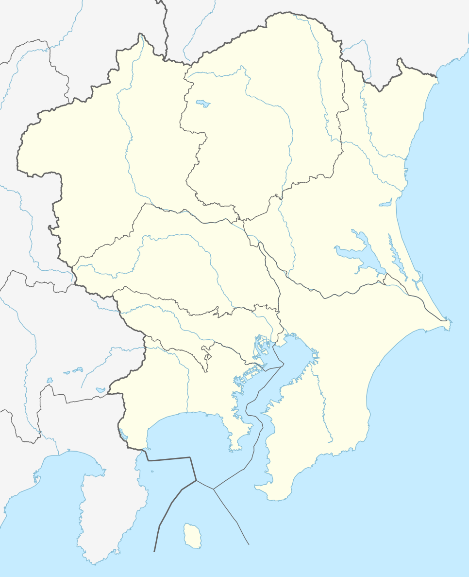
Deutsch: Positionskarte der Region Kantō, Japan (ohne Izu- und Ogasawara-Inseln)
English: Location map of Kantō region, Japan (without Izu and Ogasawara Islands)
|
||||||||||||
| Date | |||||||||||||
| Source |
Own work using: |
||||||||||||
| Author | NordNordWest and OpenStreetMap contributors | ||||||||||||

|
This map has been made or improved in the German Kartenwerkstatt (Map Lab). You can propose maps to improve as well.
|
Licensing
This file is licensed under the Creative Commons Attribution-Share Alike 2.0 Generic license.
- You are free:
- to share – to copy, distribute and transmit the work
- to remix – to adapt the work
- Under the following conditions:
- attribution – You must give appropriate credit, provide a link to the license, and indicate if changes were made. You may do so in any reasonable manner, but not in any way that suggests the licensor endorses you or your use.
- share alike – If you remix, transform, or build upon the material, you must distribute your contributions under the same or compatible license as the original.
File history
Click on a date/time to view the file as it appeared at that time.
| Date/Time | Thumbnail | Dimensions | User | Comment | |
|---|---|---|---|---|---|
| current | 19:44, 22 July 2015 | | 966 × 1,187 (465 KB) | NordNordWest | == {{int:filedesc}} == {{Information |Description= {{de|1=Positionskarte der Region Kantō, Japan (ohne Izu- und Ogasawara-Inseln)}} {{en|1=Location map of Kantō region, Japan (without Izu and Ogasawara Islands)}} {{Location map series N |stretching=-... |
File usage
The following pages on the English Wikipedia use this file (pages on other projects are not listed):
- 1894 Tokyo earthquake
- 1978 Izu Ōshima earthquake
- 2017 J1 League
- 2019 J1 League
- 2020 J1 League
- 2021 Chiba earthquake
- 2021 J1 League
- 2021 J2 League
- 2022 J1 League
- 2022 J2 League
- 2022 Japan Rugby League One – Division 1
- 2022–23 Japan Rugby League One – Division 1
- 2023 J1 League
- 2023 J2 League
- 2023–24 Japan Rugby League One – Division 1
- 2024 J1 League
- Asakusabashi Station
- B.League
- Chigasaki Station
- Cities designated by government ordinance of Japan
- Doai Station
- Fuchūhommachi Station
- Fujisawa Station
- Funabashi Station
- Hakone
- Hanawa Station
- Hayakawa Station
- Higashi-Kōenji Station
- Himemiya Station
- Hitachi-Taga Station
- Honjō-Waseda Station
- Hōshakuji Station
- Ishigami Station
- Izu Ōshima
- J2 League
- J3 League
- Kamakura
- Kamakurakōkōmae Station
- Kami-Ōi Station
- Kashiwa
- Kashiwa Station
- Kokubunji Station
- Koshigaya Station
- Kunitachi Station
- Kōzu Station (Kanagawa)
- Lake Sagami
- List of Japanese football champions
- Manazuru Station
- Matsuda Station
- Mizunuma Station
- Motojuku Station (Gunma)
- Mount Hakone
- Nebukawa Station
- Nishi-Hachiōji Station
- Nishi-Kokubunji Station
- Odawara Station
- Okamoto Station (Tochigi)
- Sagami-Kaneko Station
- Seibu-Shinjuku Station
- Sengendai Station
- Shibuya
- Shim-Matsudo Station
- Shimo-Soga Station
- Shimotsuke-Hanaoka Station
- Shin-Koshigaya Station
- Shin-Shibaura Station
- Shin-Yokohama Station
- Takao Station (Tokyo)
- Takesato Station
- Tokyo Bay
- Tōbu-Dōbutsu-Kōen Station
- Tōkai Station
- Ujiie Station
- Umi-Shibaura Station
- Urawa Station
- Women's Japan Basketball League
- Yaga Station (Kanagawa)
- Yamakita Station
- Yubiso Station
- Yugawara Station
- Ōbukuro Station
- Ōmika Station
- Ōshima, Tokyo
- Ōta, Tokyo
- User:Ty654/List of earthquakes before 1900 exceeding magnitude 8+
- User:Ty654/List of earthquakes from 2010-2014 exceeding magnitude 6+
- User:Workthebeat/sandbox
- Template:J2 League map 2024
- Template:J3 League map 2024
- Module:Location map/data/Japan Kanto
- Module:Location map/data/Japan Kanto/doc
Global file usage
The following other wikis use this file:
- Usage on de.wikipedia.org
- J1 League
- Wikipedia:Kartenwerkstatt/Positionskarten/Asien
- J2 League
- J.League 1993
- J.League 1994
- J.League Division 1 2014
- J.League 1995
- J1 League 2015
- J.League 1996
- Vorlage:Positionskarte Japan Kantō
- J.League 1997
- J1 League 2016
- J2 League 2016
- J3 League 2016
- Japan Football League 2016
- J2 League 2015
- J3 League 2015
- J3 League 2014
- J.League Division 2 2014
- J.League 1998
- J.League Division 1 1999
- J.League Division 1 2000
- J.League Division 1 2001
- J.League Division 1 2002
- J.League Division 1 2003
- J.League Division 1 2004
- J.League Division 1 2005
- J.League Division 1 2006
- J.League Division 1 2007
- J.League Division 1 2008
- J.League Division 1 2009
- J.League Division 1 2010
- J.League Division 1 2011
- J.League Division 1 2012
- J.League Division 1 2013
- J.League Division 2 2013
- J.League Division 2 1999
- J.League Division 2 2000
- J.League Division 2 2001
- J.League Division 2 2002
- J.League Division 2 2003
- J.League Division 2 2004
- J.League Division 2 2005
- J.League Division 2 2006
- J.League Division 2 2007
- J.League Division 2 2008
- J.League Division 2 2009
- J.League Division 2 2010
- J.League Division 2 2011
- J.League Division 2 2012
View more global usage of this file.