
File:Itchen Way Waymark.JPG
Size of this preview: 561 × 599 pixels. Other resolutions: 225 × 240 pixels | 449 × 480 pixels | 719 × 768 pixels | 959 × 1,024 pixels | 1,614 × 1,724 pixels.
Original file (1,614 × 1,724 pixels, file size: 519 KB, MIME type: image/jpeg)
| This is a file from the Wikimedia Commons. Information from its description page there is shown below. Commons is a freely licensed media file repository. You can help. |
Summary
| Description |
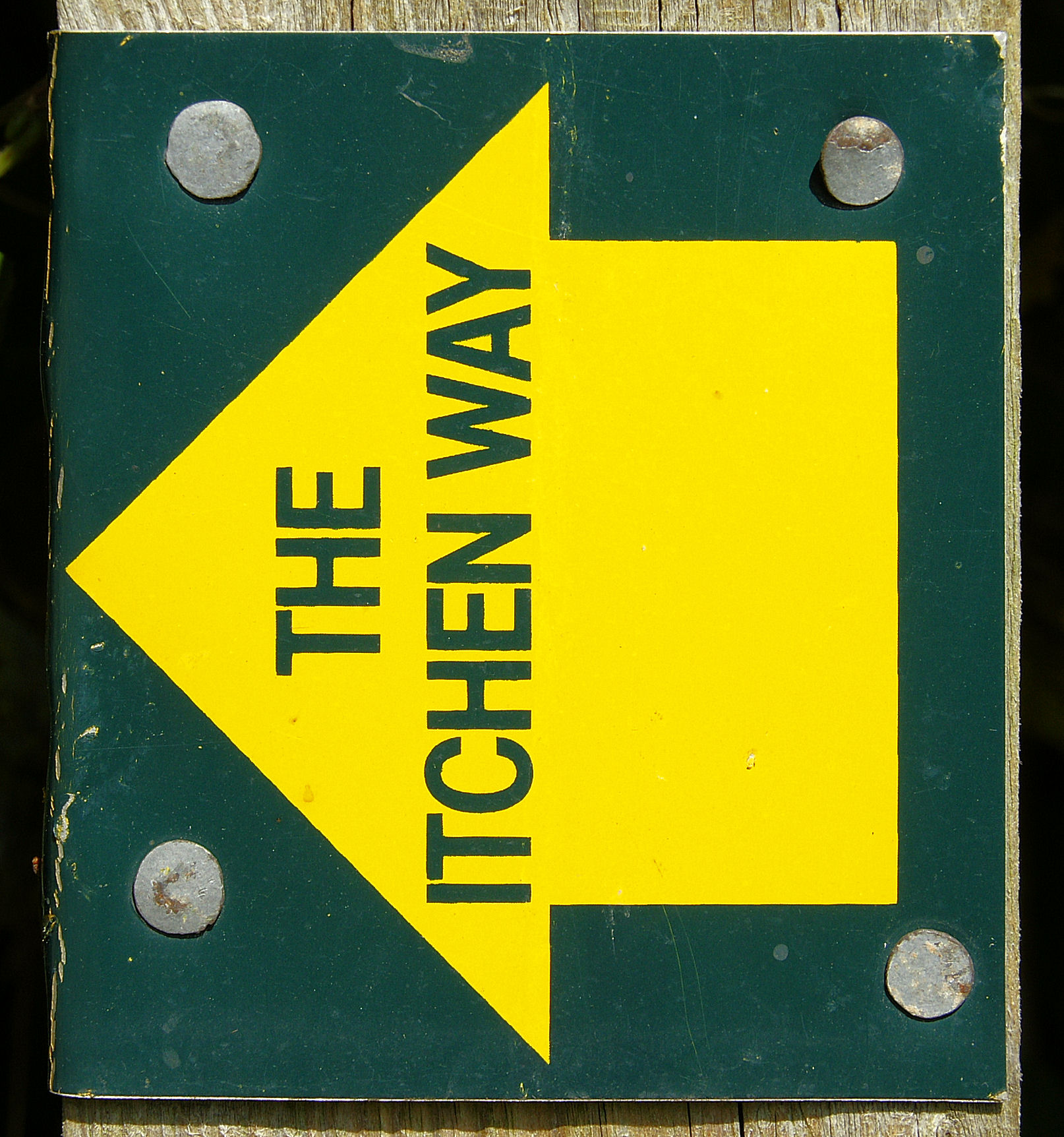
English: Typical waymark on the Itchen Way long-distance footpath, on a fence post near Cheriton, Hampshire. |
| Date | |
| Source | Own work |
| Author | Pterre |
| Camera location | | View this and other nearby images on: OpenStreetMap |
|---|
Licensing
| I, the copyright holder of this work, release this work into the public domain. This applies worldwide. In some countries this may not be legally possible; if so: I grant anyone the right to use this work for any purpose, without any conditions, unless such conditions are required by law. |
File history
Click on a date/time to view the file as it appeared at that time.
| Date/Time | Thumbnail | Dimensions | User | Comment | |
|---|---|---|---|---|---|
| current | 17:44, 2 October 2008 | | 1,614 × 1,724 (519 KB) | Pterre | {{Information |Description={{en|1=Typical waymark on the Itchen Way long-distance footpath, on a fence post near Cheriton, Hampshire.}} |Source=Own work by uploader |Author=Pterre |Date=2008-0 |
File usage
The following pages on the English Wikipedia use this file (pages on other projects are not listed):