
File:Iran Ecuador (orthographic projection).svg

Size of this PNG preview of this SVG file: 550 × 550 pixels. Other resolutions: 240 × 240 pixels | 480 × 480 pixels | 768 × 768 pixels | 1,024 × 1,024 pixels | 2,048 × 2,048 pixels.
Original file (SVG file, nominally 550 × 550 pixels, file size: 137 KB)
| This is a file from the Wikimedia Commons. Information from its description page there is shown below. Commons is a freely licensed media file repository. You can help. |
.svg)
Summary
| Description |
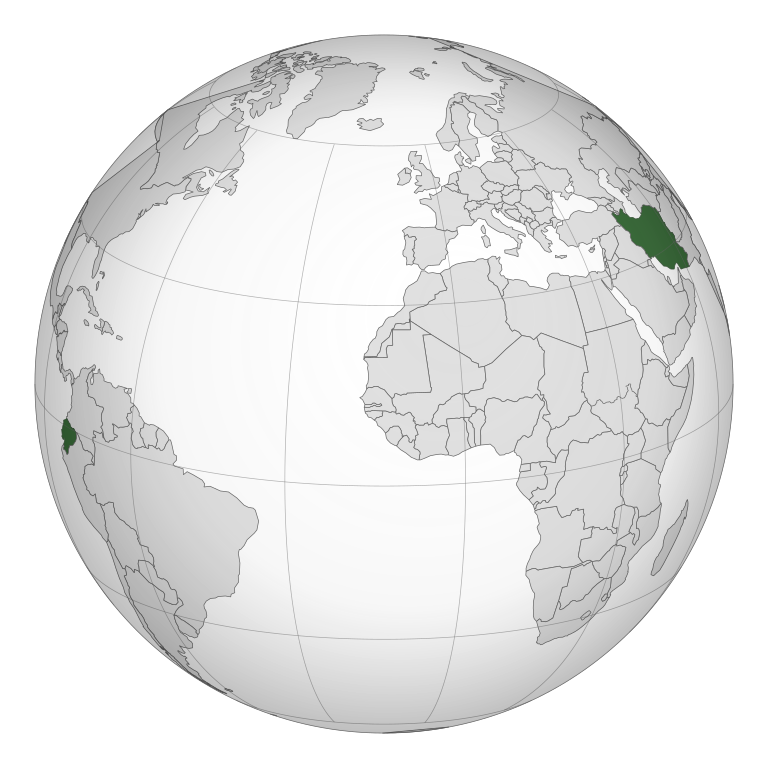
English: A map of the hemisphere showing Iran and Ecuador, centred between the two countries, using an orthographic projection. Created using gringer's Perl script with Natural Earth Data (1:110m resolution, simplified to 0.01px). |
| Date | |
| Source | Own work |
| Author | Gringer |
Licensing
| I, the copyright holder of this work, release this work into the public domain. This applies worldwide. In some countries this may not be legally possible; if so: I grant anyone the right to use this work for any purpose, without any conditions, unless such conditions are required by law. |
File history
Click on a date/time to view the file as it appeared at that time.
| Date/Time | Thumbnail | Dimensions | User | Comment | |
|---|---|---|---|---|---|
| current | 16:08, 19 December 2019 | | 550 × 550 (137 KB) | Goran tek-en | Added border for South Sudan as requested by {{u|Maphobbyist}} |
| 12:47, 18 October 2010 |  | 550 × 550 (200 KB) | Gringer | {{Information |Description={{en|1=A map of the hemisphere showing Iran and Ecuador, centred between the two countries, using an orthographic projection. Created using gringer's Perl script with [http://www.naturalearthdata.co |
File usage
No pages on the English Wikipedia use this file (pages on other projects are not listed).
.svg)