
File:Inner Loop Rochester map.svg

Size of this PNG preview of this SVG file: 800 × 474 pixels. Other resolutions: 320 × 190 pixels | 640 × 380 pixels | 1,024 × 607 pixels | 1,280 × 759 pixels | 2,560 × 1,518 pixels | 1,450 × 860 pixels.
Original file (SVG file, nominally 1,450 × 860 pixels, file size: 1.72 MB)
| This is a file from the Wikimedia Commons. Information from its description page there is shown below. Commons is a freely licensed media file repository. You can help. |
Summary
| Description | |
| Date | |
| Source | Own work |
| Author | TwinsMetsFan |
Licensing
| I, the copyright holder of this work, release this work into the public domain. This applies worldwide. In some countries this may not be legally possible; if so: I grant anyone the right to use this work for any purpose, without any conditions, unless such conditions are required by law. |
File history
Click on a date/time to view the file as it appeared at that time.
| Date/Time | Thumbnail | Dimensions | User | Comment | |
|---|---|---|---|---|---|
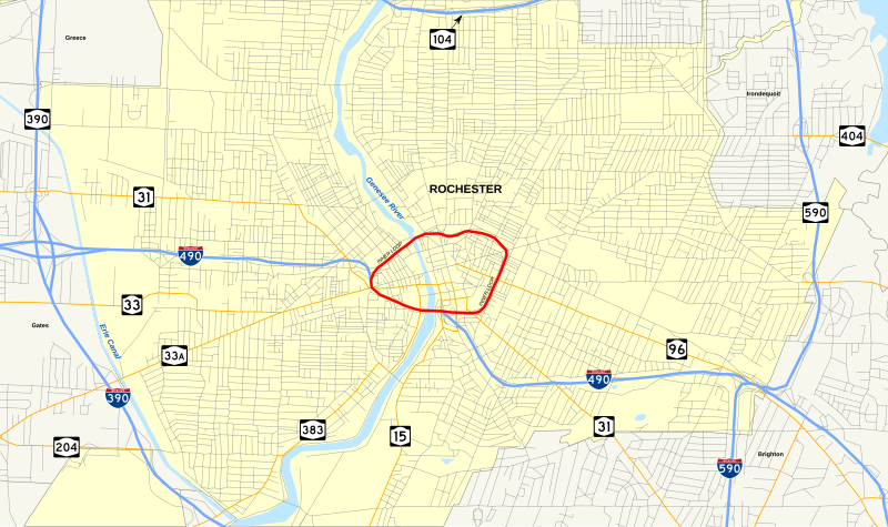
| current | 03:06, 5 August 2009 | | 1,450 × 860 (1.72 MB) | TwinsMetsFan | {{Information |Description={{en|1=Map of Rochester, New York's w:Inner Loop (Rochester).}} |Source=Own work by uploader |Author=TwinsMetsFan |Date=2009-08-04 |Permission= |other_versions= }} [[Category |
File usage
The following pages on the English Wikipedia use this file (pages on other projects are not listed):