
File:Index map.jpg

Size of this preview: 541 × 599 pixels. Other resolutions: 217 × 240 pixels | 433 × 480 pixels | 693 × 768 pixels | 924 × 1,024 pixels | 1,849 × 2,048 pixels | 4,800 × 5,317 pixels.
Original file (4,800 × 5,317 pixels, file size: 8.77 MB, MIME type: image/jpeg)
| This is a file from the Wikimedia Commons. Information from its description page there is shown below. Commons is a freely licensed media file repository. You can help. |
Summary
| Description |
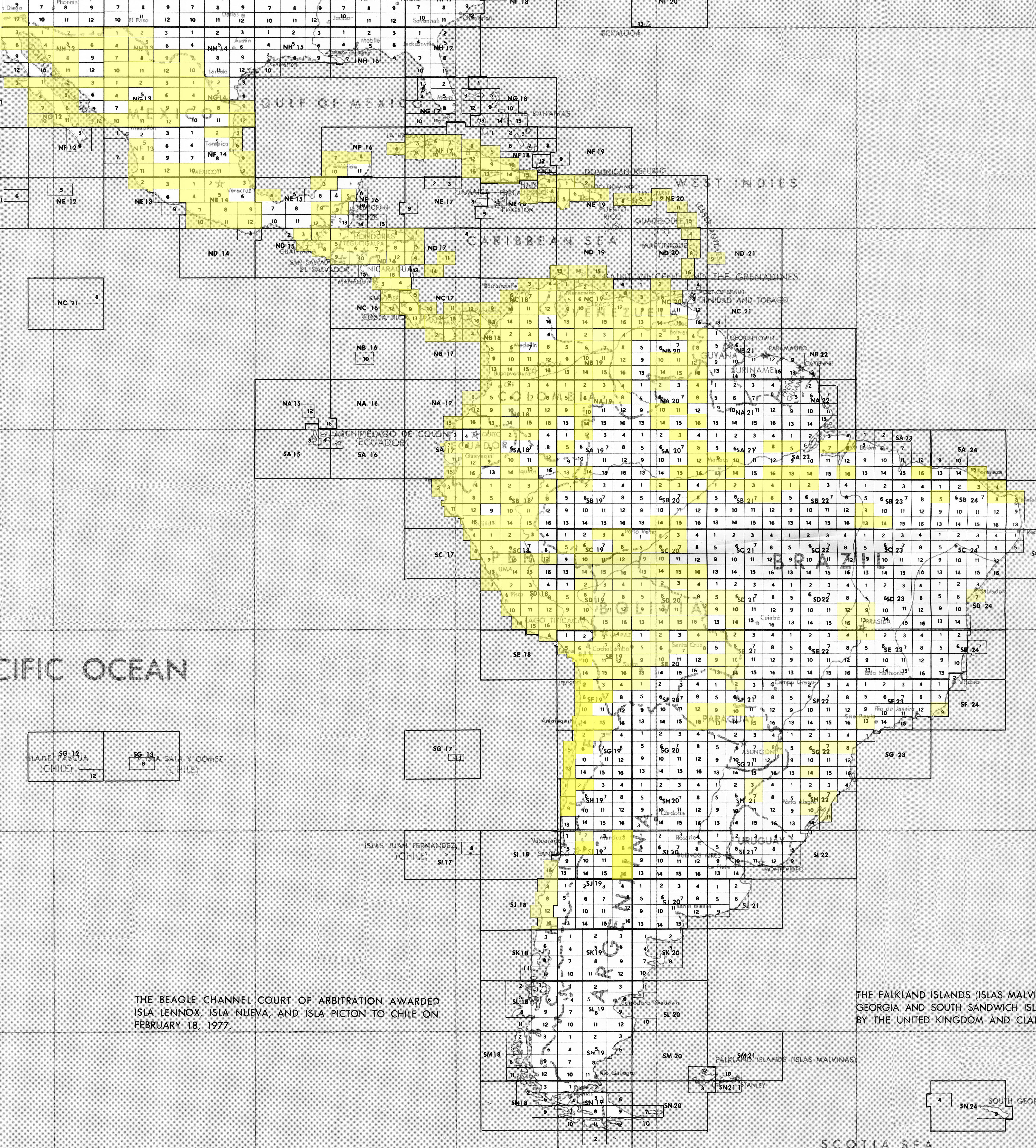
English: index map for Join Operations Graphic |
|||
| Date | ||||
| Source | http://www.lib.utexas.edu/maps/jog/latin_america/index_map.jpg | |||
| Author | This work is in the public domain in the United States because it is a work of the United States Federal Government under the terms of 17 U.S.C. § 105. See Copyright. | |||
| Permission (Reusing this file) |
|

Derivative work
File history
Click on a date/time to view the file as it appeared at that time.
| Date/Time | Thumbnail | Dimensions | User | Comment | |
|---|---|---|---|---|---|
| current | 00:30, 31 December 2011 | | 4,800 × 5,317 (8.77 MB) | Keysanger |
File usage
The following pages on the English Wikipedia use this file (pages on other projects are not listed):
Global file usage
The following other wikis use this file:
- Usage on www.wikidata.org