
File:Iglesia de San Martín de Tours (Madrid) 01.jpg
Size of this preview: 450 × 600 pixels. Other resolutions: 180 × 240 pixels | 360 × 480 pixels | 768 × 1,024 pixels.
Original file (768 × 1,024 pixels, file size: 502 KB, MIME type: image/jpeg)
| This is a file from the Wikimedia Commons. Information from its description page there is shown below. Commons is a freely licensed media file repository. You can help. |
_01.jpg)
This is a photo of a monument indexed in the Spanish heritage register of Bienes de Interés Cultural under the reference 9140. |
| Description |
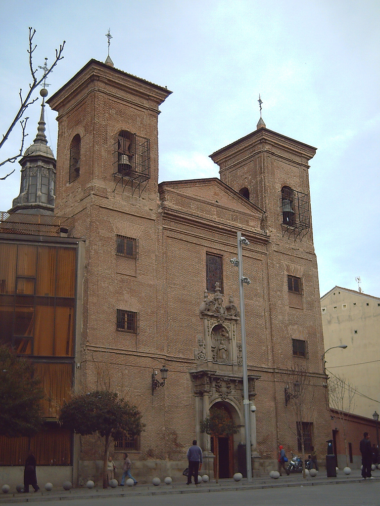
English: Iglesia de San Martín de Tours ("St. Martin of Tours' Church"), at 26 Calle del Desengaño (street) in Madrid (Spain). The first building, a little oratory, was made in the middle of the 17th century. Alterations and extensions were made from the end of the 17th to the middle of the 18th century.
Español: Iglesia de San Martín de Tours, en el nº 26 de la Calle del Desengaño de Madrid (España). El edificio primitivo, un pequeño oratorio llamado Templo de Nuestra Señora de Porta Coeli, fue construido a mediados del siglo XVII. Desde fines del mismo hasta mediados del XVIII se realizaron las reformas y ampliaciones. Iglesia de San Martín de Tours (Madrid) 01 |
||
| Date | |||
| Source | Flickr | ||
| Author | Luis García from Madrid (Spain). | ||
| Permission (Reusing this file) |
This file is licensed under the Creative Commons Attribution-Share Alike 2.0 Generic license. Attribution: Luis García
|
| Object location | | View this and other nearby images on: OpenStreetMap |
|---|
_01.jpg¶ms=040.421275_N_-003.704624_E_globe:Earth_class:object_type:landmark_region:ES_&language=en)
File history
Click on a date/time to view the file as it appeared at that time.
| Date/Time | Thumbnail | Dimensions | User | Comment | |
|---|---|---|---|---|---|
| current | 12:07, 26 January 2008 | | 768 × 1,024 (502 KB) | Zaqarbal | Originally posted to Flickr [http://www.flickr.com/photos/zaqarbal/2219151657/]. Licensing: Cc-by-sa-2.0. Photographer: Luis García. Taken: 25-January-2008. |
File usage
The following pages on the English Wikipedia use this file (pages on other projects are not listed):
Global file usage
The following other wikis use this file:
- Usage on de.wikipedia.org
- Usage on es.wikipedia.org
- Usage on incubator.wikimedia.org
- Usage on pa.wikipedia.org
- Usage on tl.wikipedia.org
- Usage on www.wikidata.org
- Usage on zh.wikipedia.org
_01.jpg)