
File:IBRA 6.1 Coolgardie.png

Size of this preview: 764 × 599 pixels. Other resolutions: 306 × 240 pixels | 612 × 480 pixels | 979 × 768 pixels | 1,257 × 986 pixels.
Original file (1,257 × 986 pixels, file size: 83 KB, MIME type: image/png)
| This is a file from the Wikimedia Commons. Information from its description page there is shown below. Commons is a freely licensed media file repository. You can help. |
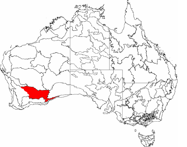
| Description | This is a map of the Interim Biogeographic Regionalisation of Australia (IBRA), with state boundaries overlaid. The Coolgardie region is shown in red. | ||||||||
| Date | |||||||||
| Source | It was created by the uploader. | ||||||||
| Author | Hesperian | ||||||||
| Permission (Reusing this file) |
I, the copyright holder of this work, hereby publish it under the following licenses:
This file is licensed under the Creative Commons Attribution-Share Alike 2.5 Generic, 2.0 Generic and 1.0 Generic license.
You may select the license of your choice. |

File history
Click on a date/time to view the file as it appeared at that time.
| Date/Time | Thumbnail | Dimensions | User | Comment | |
|---|---|---|---|---|---|
| current | 04:39, 3 March 2007 | | 1,257 × 986 (83 KB) | Hesperian | |
| 23:51, 6 February 2007 |  | 1,149 × 948 (76 KB) | Hesperian | red | |
| 02:17, 6 February 2007 |  | 1,149 × 948 (76 KB) | Hesperian | {{Information |Description=This is a map of the Interim Biogeographic Regionalisation of Australia (IBRA), with state boundaries overlaid. The '''Coolgardie''' region is filled in grey. |Source=It was created by the uploader. |Date=2007-02-6 |Author=[[Use |
File usage
The following pages on the English Wikipedia use this file (pages on other projects are not listed):
Global file usage
The following other wikis use this file:
- Usage on es.wikipedia.org
- Usage on fr.wikipedia.org
- Usage on nl.wikipedia.org
- Usage on pl.wikipedia.org
- Usage on www.wikidata.org