
File:Huldenberg Peuthystraat B.jpg

Size of this preview: 800 × 532 pixels. Other resolutions: 320 × 213 pixels | 640 × 426 pixels | 1,024 × 681 pixels | 1,280 × 851 pixels | 3,008 × 2,000 pixels.
Original file (3,008 × 2,000 pixels, file size: 1.4 MB, MIME type: image/jpeg)
| This is a file from the Wikimedia Commons. Information from its description page there is shown below. Commons is a freely licensed media file repository. You can help. |
| Description |
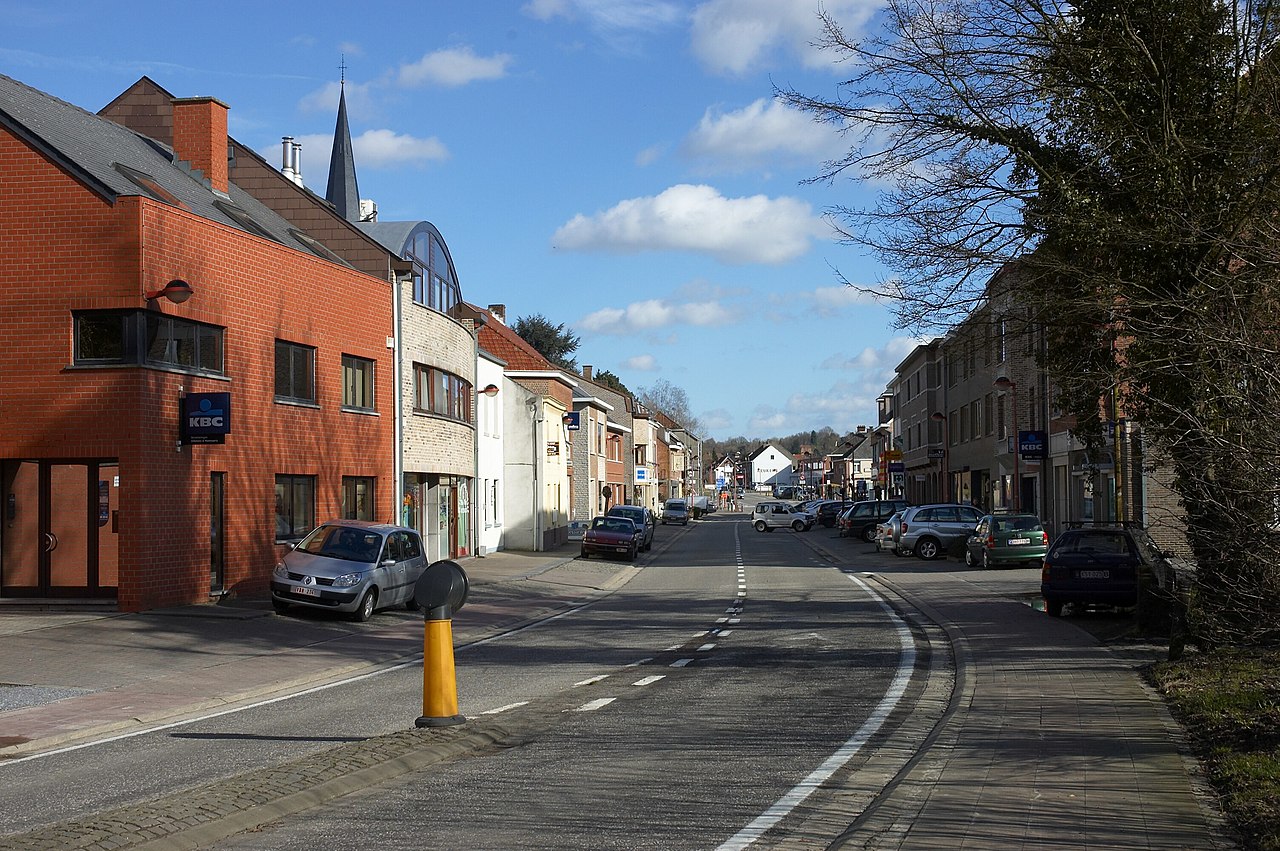
De Peuthystraat bij het binnenkomen van het centrum van Huldenberg komende van de kant van Overijse, België, kijkend richting oost.
|
||||
| Date | |||||
| Source | Own work | ||||
| Author | Wouter Hagens | ||||
| Permission (Reusing this file) |
|
File history
Click on a date/time to view the file as it appeared at that time.
| Date/Time | Thumbnail | Dimensions | User | Comment | |
|---|---|---|---|---|---|
| current | 15:36, 4 March 2007 | | 3,008 × 2,000 (1.4 MB) | Wouterhagens | {{Information |Description=De Peuthystraat bij het binnenkomen van het centrum van Huldenberg komende van de kant van Overijse, België Coördinaten {{coor dms|50|47|22.40|N|4|34|50.65|E|scale:4000}} kijkend richting oost. |Source=own work |Date=2007-03-0 |
File usage
The following pages on the English Wikipedia use this file (pages on other projects are not listed):
Global file usage
The following other wikis use this file:
- Usage on de.wikipedia.org
- Usage on fa.wikipedia.org
- Usage on nl.wikipedia.org