
File:Horseshoe Falls 203.jpg
Size of this preview: 800 × 600 pixels. Other resolutions: 320 × 240 pixels | 640 × 480 pixels | 1,024 × 768 pixels | 1,280 × 960 pixels | 2,048 × 1,536 pixels.
Original file (2,048 × 1,536 pixels, file size: 747 KB, MIME type: image/jpeg)
| This is a file from the Wikimedia Commons. Information from its description page there is shown below. Commons is a freely licensed media file repository. You can help. |
| Description |
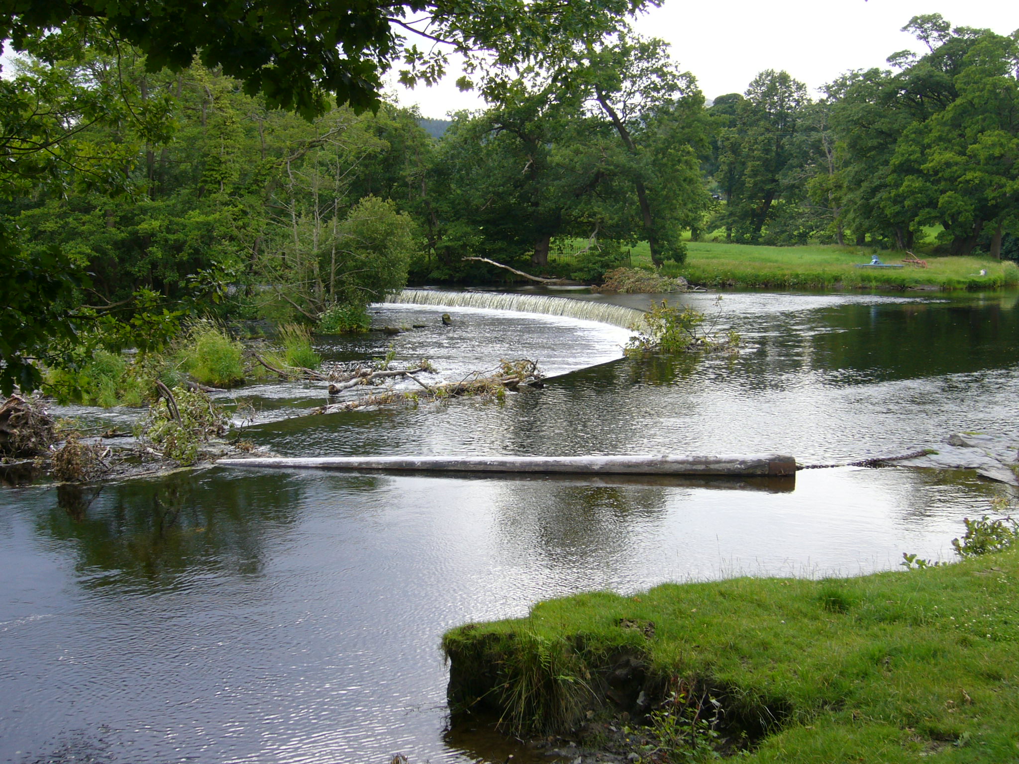
English:  The Horseshoe Falls at grid reference SJ 195 433 about three miles west of the town of Llangollen, Denbighshire, Wales. The feed to the Llangollen Canal is off the bottom left corner of this image. A floating tree trunk is secured by chains across the water to prevent debris from entering the canal. |
| Date | |
| Source | Own work |
| Author | RHaworth |
|

| Camera location | | View this and other nearby images on: OpenStreetMap |
|---|
| Object location | | View this and other nearby images on: OpenStreetMap |
|---|
File history
Click on a date/time to view the file as it appeared at that time.
| Date/Time | Thumbnail | Dimensions | User | Comment | |
|---|---|---|---|---|---|
| current | 00:45, 14 July 2008 | | 2,048 × 1,536 (747 KB) | RHaworth | {{Information |Description={{en|1=The Horseshoe Falls}} |Source=Own work by uploader |Author=RHaworth |Date=2008 July 7 |Permission= |other_versions= }} {{subst:user:RHaworth/mylic}} {{ImageUpload| |
File usage
The following pages on the English Wikipedia use this file (pages on other projects are not listed):
Global file usage
The following other wikis use this file:
- Usage on br.wikipedia.org
- Usage on cy.wikipedia.org
- Usage on nl.wikipedia.org