
File:Hohenburg pfad.jpg

Size of this preview: 800 × 600 pixels. Other resolutions: 320 × 240 pixels | 640 × 480 pixels | 1,000 × 750 pixels.
Original file (1,000 × 750 pixels, file size: 272 KB, MIME type: image/jpeg)
| This is a file from the Wikimedia Commons. Information from its description page there is shown below. Commons is a freely licensed media file repository. You can help. |
|
This building is indexed in the base Mérimée, a database of architectural heritage maintained by the French Ministry of Culture, under the reference PA00085240
|
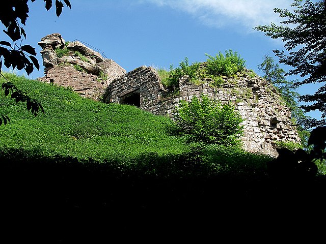
- Beschreibung: Hohenburg, erster Anblick vom Fusspfad aus Richtung Wegelnburg
- Datum: 26.5.2005
- Quelle: selbst aufgenommen für Wikipedia
- Fotograf: Peter Schmenger
- from de.wikipedia [1] 17:08, 27. Mai 2005 . . Dokape (Diskussion) . . 1000 x 750 (278595 Byte)
![[1]](https://de.wikipedia.org/wiki/Bild:Hohenburg_pfad.jpg)

|
Permission is granted to copy, distribute and/or modify this document under the terms of the GNU Free Documentation License, Version 1.2 or any later version published by the Free Software Foundation; with no Invariant Sections, no Front-Cover Texts, and no Back-Cover Texts. A copy of the license is included in the section entitled GNU Free Documentation License. |
| This file is licensed under the Creative Commons Attribution-Share Alike 3.0 Unported license. | ||
| ||
| This licensing tag was added to this file as part of the GFDL licensing update. |
| Object location | | View this and other nearby images on: OpenStreetMap |
|---|
File history
Click on a date/time to view the file as it appeared at that time.
| Date/Time | Thumbnail | Dimensions | User | Comment | |
|---|---|---|---|---|---|
| current | 21:08, 16 February 2006 | | 1,000 × 750 (272 KB) | Überraschungsbilder | *Beschreibung: Hohenburg, erster Anblick vom Fusspfad aus Richtung Wegelnburg *Datum: 26.5.2005 *Quelle: selbst aufgenommen für Wikipedia *Fotograf: Peter Schmenger *from de.wikipedia [http://de.wikipedia.org/wiki/Bild:Hohenburg_p |
File usage
The following pages on the English Wikipedia use this file (pages on other projects are not listed):
Global file usage
The following other wikis use this file:
- Usage on de.wikipedia.org
- Usage on fr.wikipedia.org
- Usage on nl.wikipedia.org
- Usage on pnb.wikipedia.org