
File:Historic American Buildings Survey (HABS) Team.jpg

Size of this preview: 453 × 600 pixels. Other resolutions: 181 × 240 pixels | 363 × 480 pixels | 580 × 768 pixels | 774 × 1,024 pixels | 2,260 × 2,991 pixels.
Original file (2,260 × 2,991 pixels, file size: 863 KB, MIME type: image/jpeg)
| This is a file from the Wikimedia Commons. Information from its description page there is shown below. Commons is a freely licensed media file repository. You can help. |
Summary
| Object location | | View this and other nearby images on: OpenStreetMap |
|---|
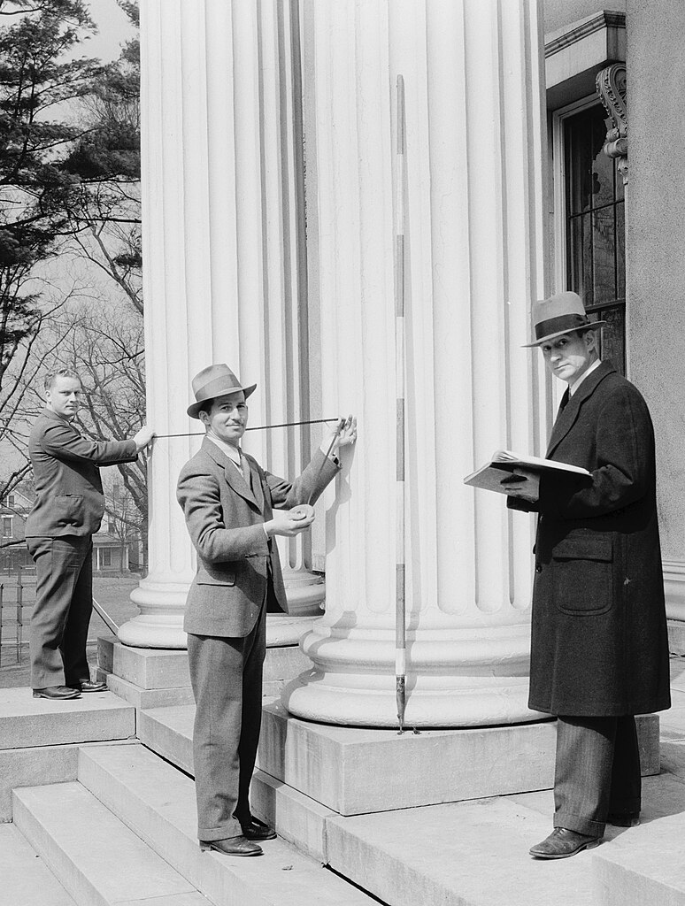
| Description | Historic American Buildings Survey team, measuring the Kentucky School for the Blind, 1867 Frankfort Avenue, Louisville, Jefferson County, KY. Image has been cropped to highlight architects at work. | |||||
| Date | ||||||
| Source |
Historic American Buildings Survey. Survey No. HABS KY-20-19. Library of Congress call No. HABS KY,56-LOUVI,2-7.
|
|||||
| Author | Theodore Webb | |||||
| Permission (Reusing this file) |
|
|||||
| Other versions | image:KY-School-for-the-Blind.jpg |


_Team.jpg)
_Team.jpg¶ms=038.257222_N_-085.713611_E_globe:Earth_class:object_type:object__&language=en)
File history
Click on a date/time to view the file as it appeared at that time.
| Date/Time | Thumbnail | Dimensions | User | Comment | |
|---|---|---|---|---|---|
| current | 13:04, 23 April 2009 | | 2,260 × 2,991 (863 KB) | Martin H. | High res; cropped |
| 18:40, 6 June 2006 |  | 443 × 628 (49 KB) | Eoghanacht | {{Information |Description= Historic American Buildings Survey team, measuring the Kentucky School for the Blind, 1867 Frankfort Avenue, Louisville, Jefferson County, KY. {{coor |
File usage
The following pages on the English Wikipedia use this file (pages on other projects are not listed):
Global file usage
The following other wikis use this file:
- Usage on de.wikipedia.org
- Usage on es.wikipedia.org
- Usage on fr.wikipedia.org
- Usage on ru.wikipedia.org
- Usage on www.wikidata.org
_Team.jpg)